The Grande Traversée du Jura stretches from Mandeure (Doubs) to Culoz (Ain) over more than 400 km. It takes between 6 and 9 days to complete the entire route depending on your level.
The last stage includes two different possibilities, you can reach Culoz from the Plateau de Retord via Le Grand Colombier or via the ridges of Plateau d’Hauteville.
The trail through Grand Colombier is said to be more physically challenging but offers a stunning panoramic view from the top of the Bugey’s highest mountain just before tackling a final descent of 1200 meters of negative elevation gain.
 Table d'orientation du Fenestrez au dessus de Culoz sur le Grand Colombier
The Grande Traversée du Jura through the ridges of Plateau d’Hauteville is a little longer but includes less elevation gain than the way through Grand Colombier.
While this route does not have the same stunning panoramic view from the Grand Colombier, it does allow you to discover some of the geological curiosities of the Valromey: Thurignin Gorges and the Source du Groin.
These exceptional places are particularly impressive in Spring and Autumn when their water levels are high.
 Gorges de Thurignin
 Southern loop of the Grande Traversée du Jura through Plateau de Retord and Grand Colombier.
With a length of nearly 100 km, this marked loop on the two southern possibilities of the GTJ allows you to discover the southern end of the Jura mountians in a few days.
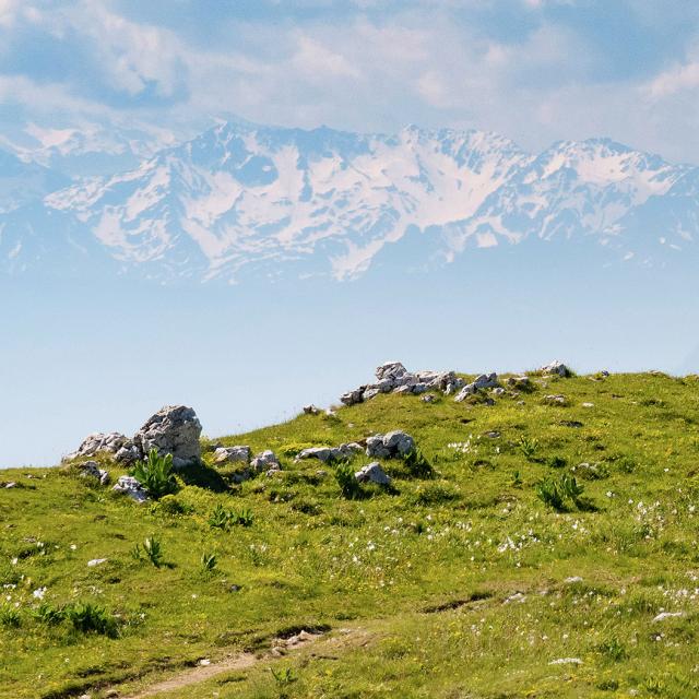
From the banks of the Rhone at Culoz at 250 meters above sea level to the foot of the giant of the Bugey, the Grand Colombier, culminating at more than 1500 meters, passing through the plateaus of Retord and Hauteville the circuit go through varied landscapes and has many amazing points of view on the Alps, the Mont Blanc and the Bourget lake.
 Vue sur les Alpes enneigés depuis le Grand Colombier
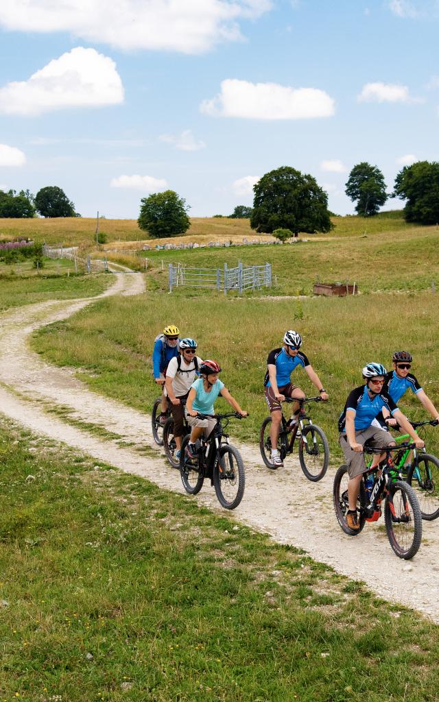
Because the vast landscapes of the Jura Mountians cannot be traversed solely by mountain bike, the Grandes traversées du Jura can also be done on a road bike, on foot, horseback, snowshoeing, cross country skiing… and even soon gravel bike!
 Cycliste dans les pentes du Grand Colombier


