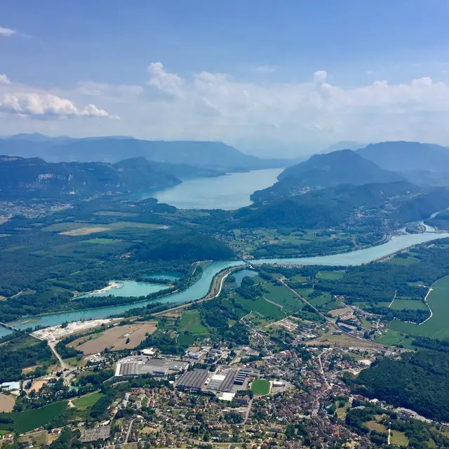
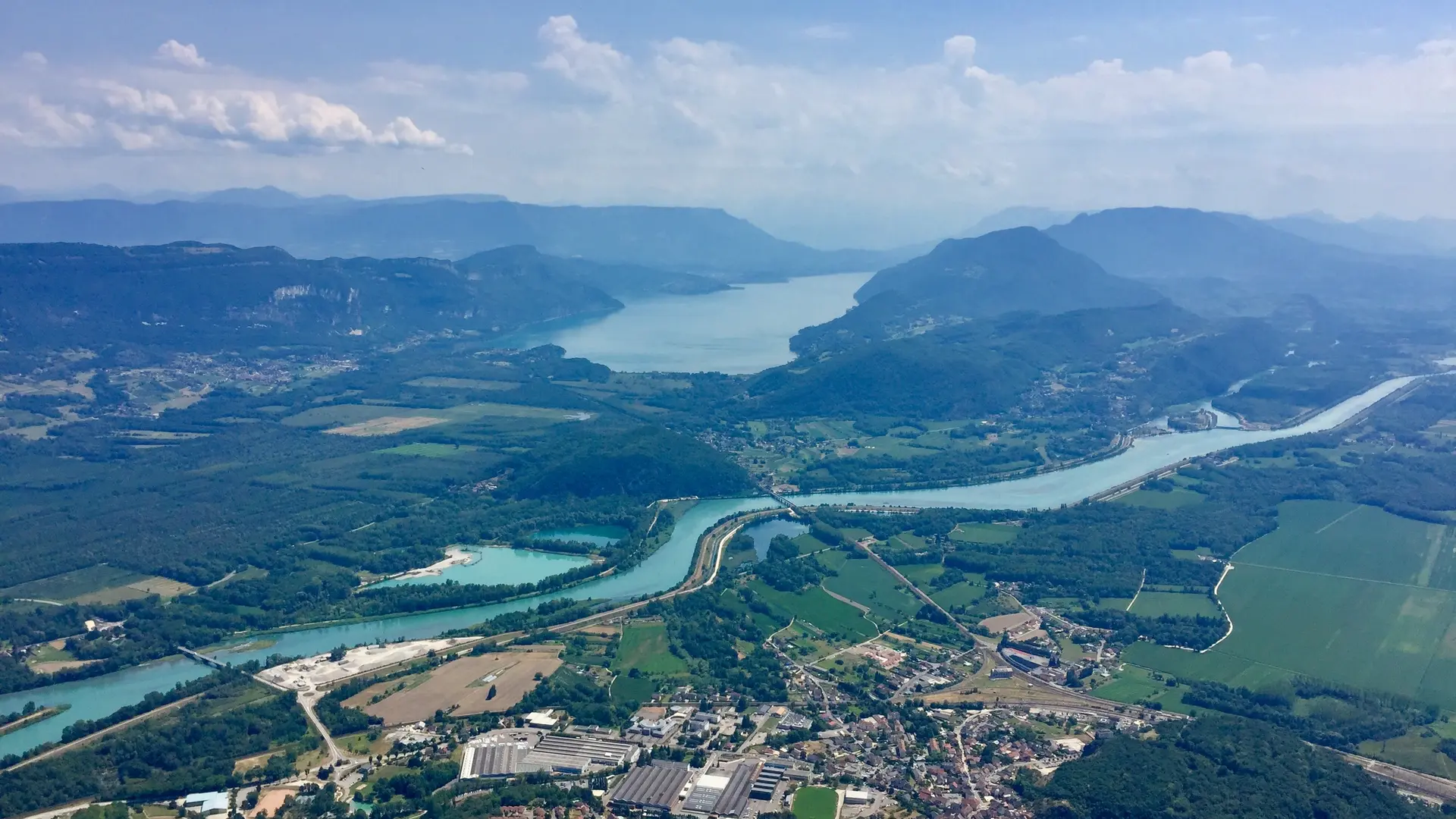
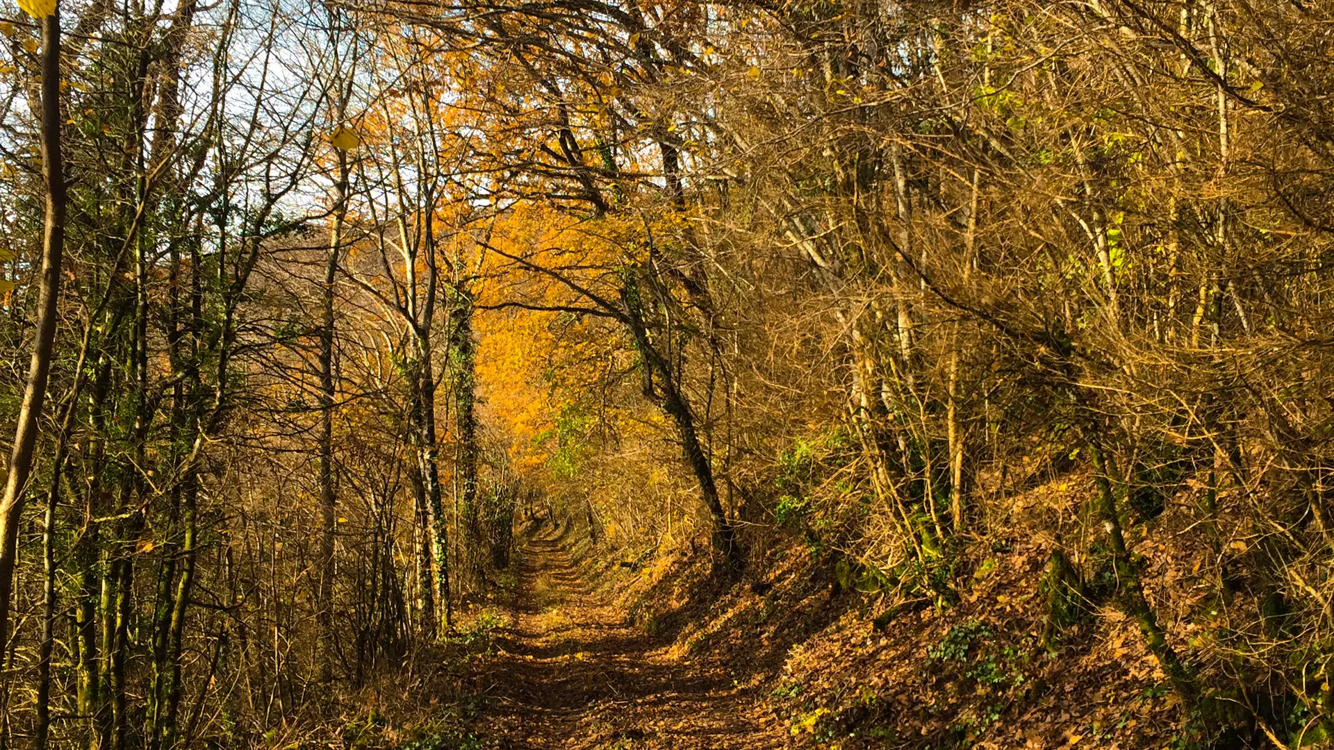
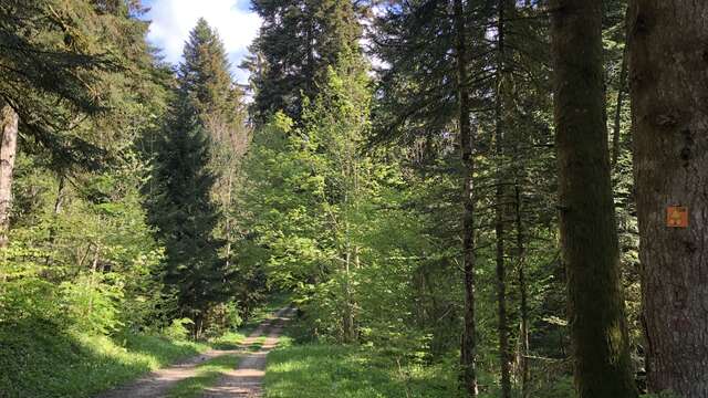
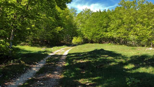
Southern loop of the Grande Traversée du Jura on Mountain bike crossing the Planachat ridges separating Valromey and the Hauteville Plateau, the Retord Plateau and the ridges of the Grand Colombier Massif.
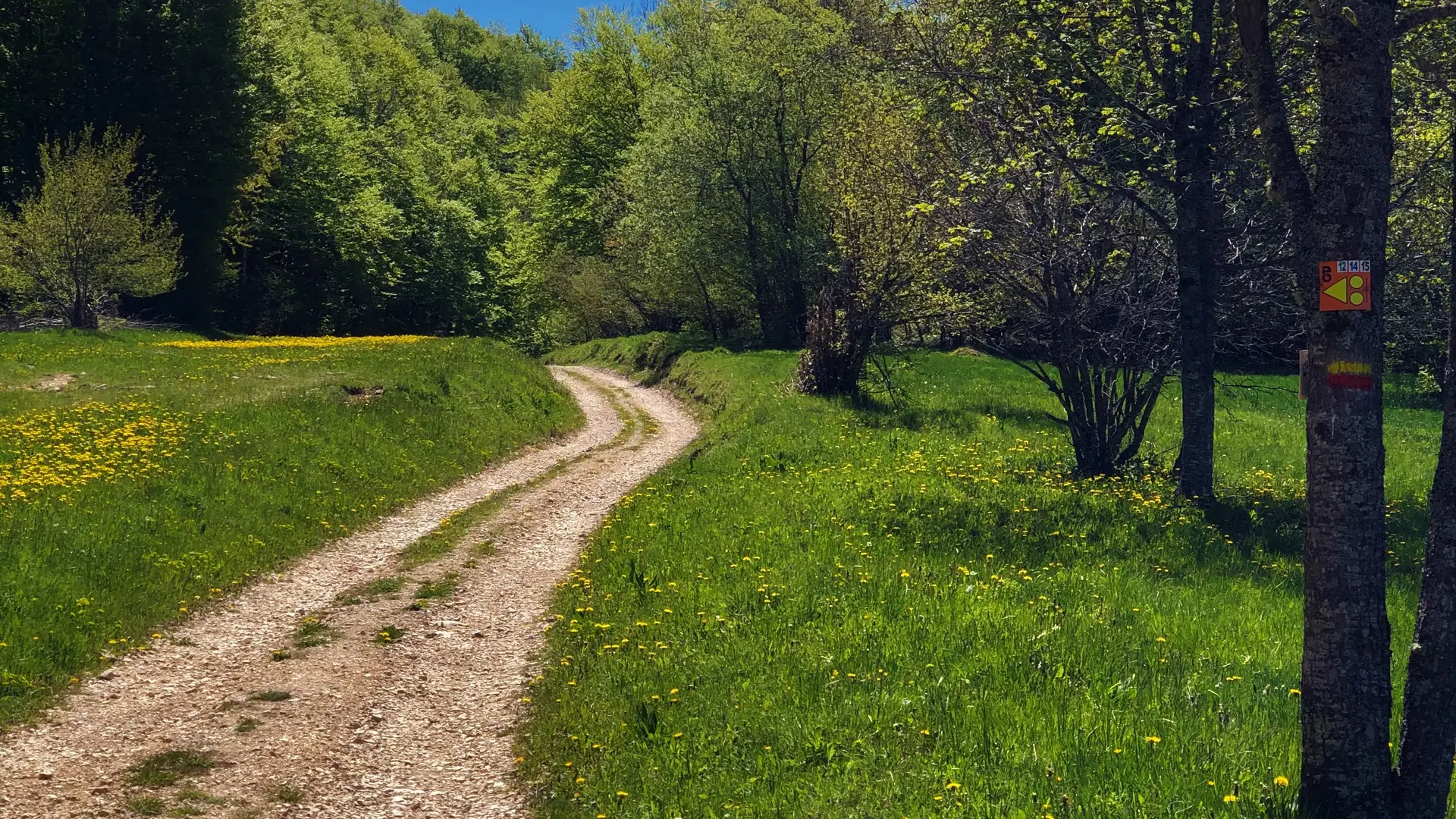
With a length of nearly 100 km, this marked loop on the two southern variants of the GTJ allows you to discover the southern end of the Jura Massif in a few days.
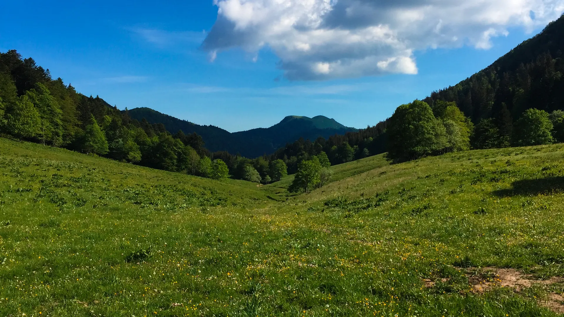
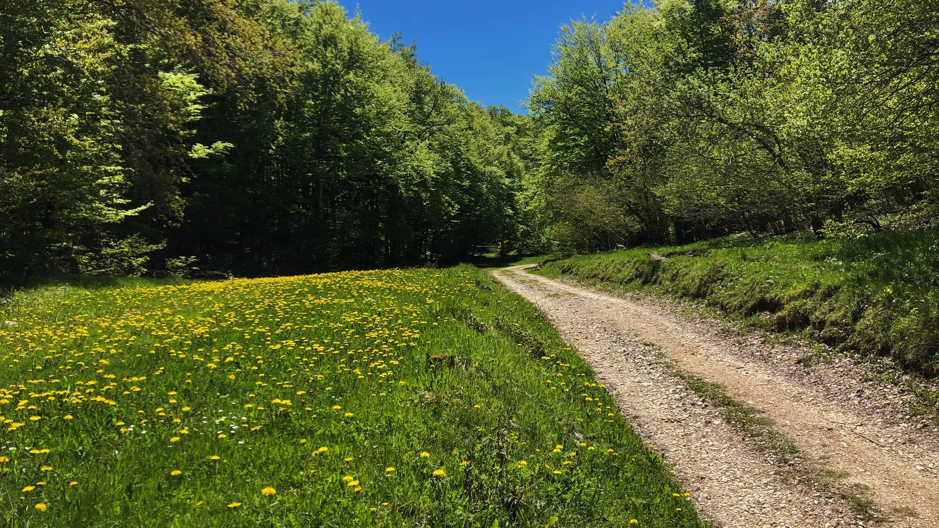
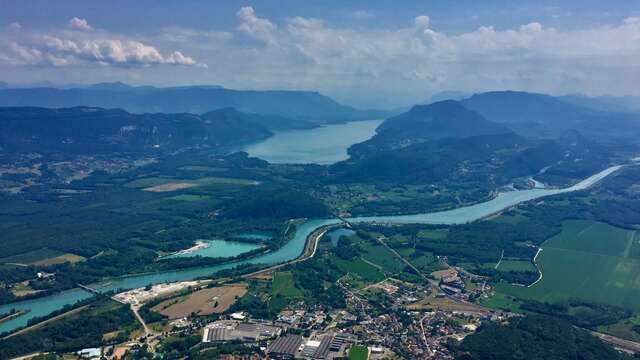
From the banks of the Rhône to Culoz at an altitude of 250 meters at the foot of the giant of Bugey, the Grand Colombier, culminating at nearly 1500 meters, passing through the plateaus of Retord and Hauteville, the circuit takes in varied landscapes and numerous balconies on the chain of the Alps, Mont Blanc and Lake Bourget.
Day 1 : Culoz > La Praille (32 km)
Day 2 : La Praille > Les Plans d'Hotonnes (27 km)
Day 3 : Les Plans d'Hotonnes > Culoz (35km)