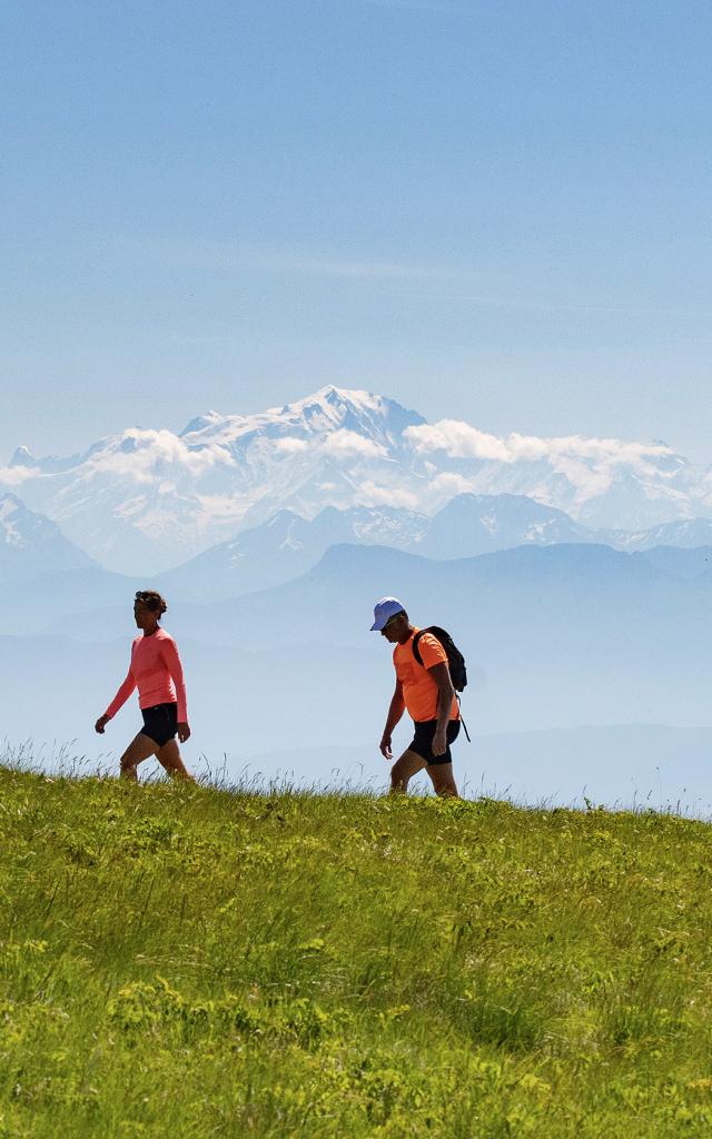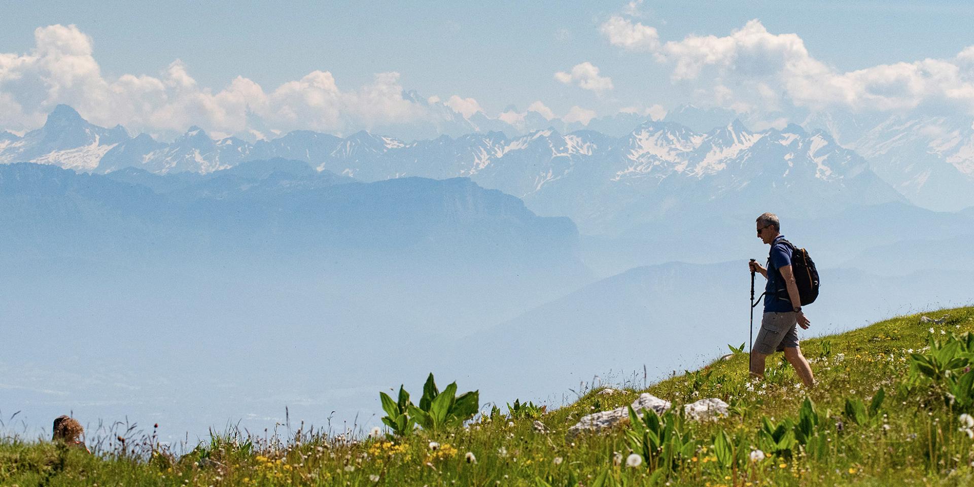
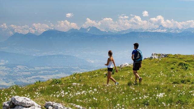
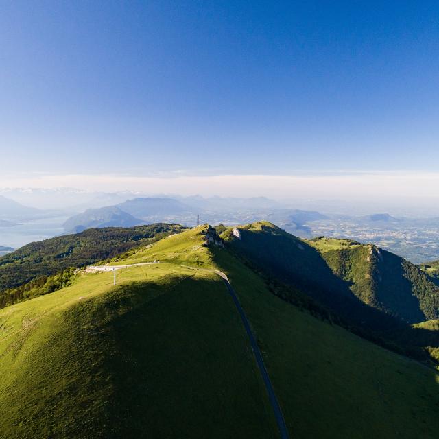
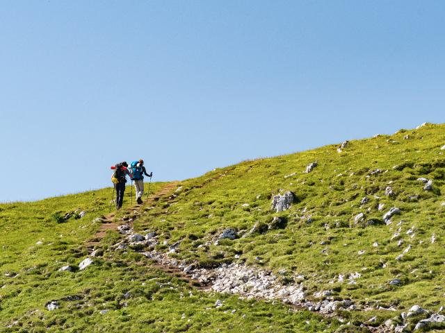
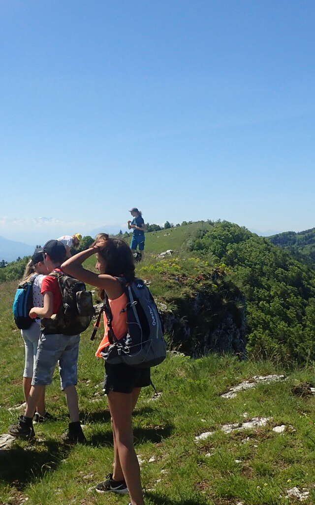
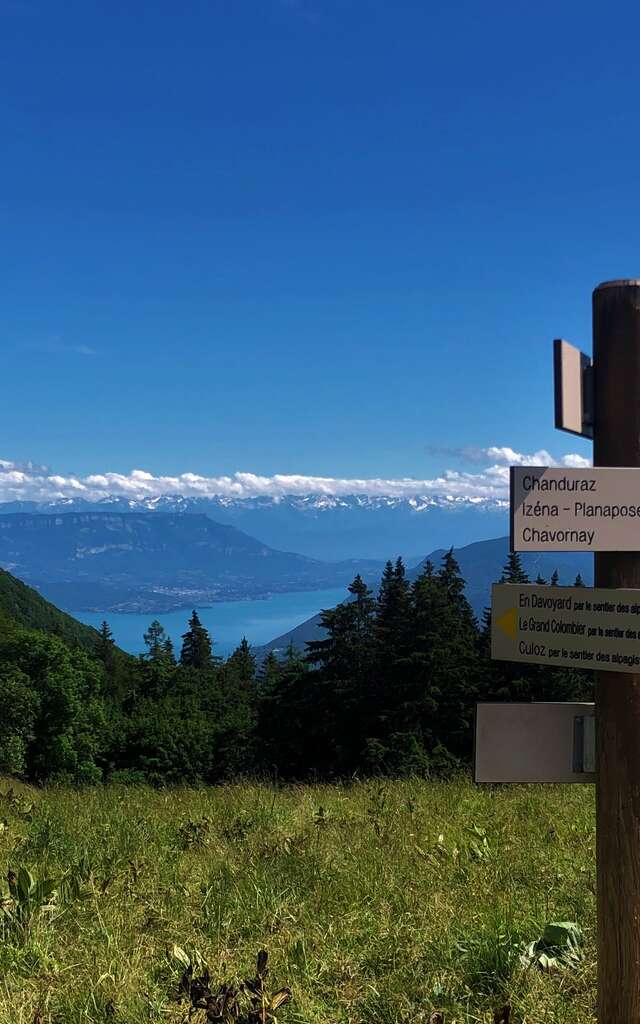
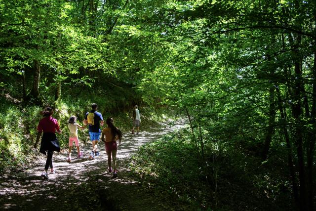
Randonneurs sur le Grand Colombier
|
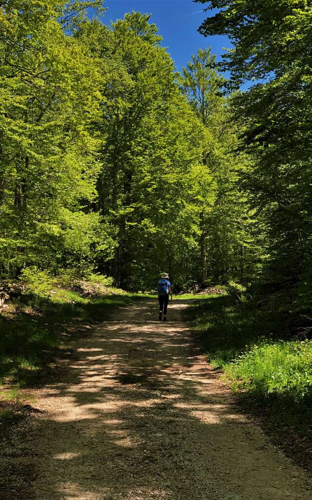
Hiking
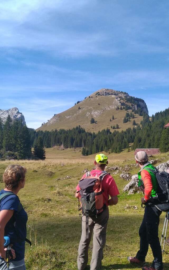
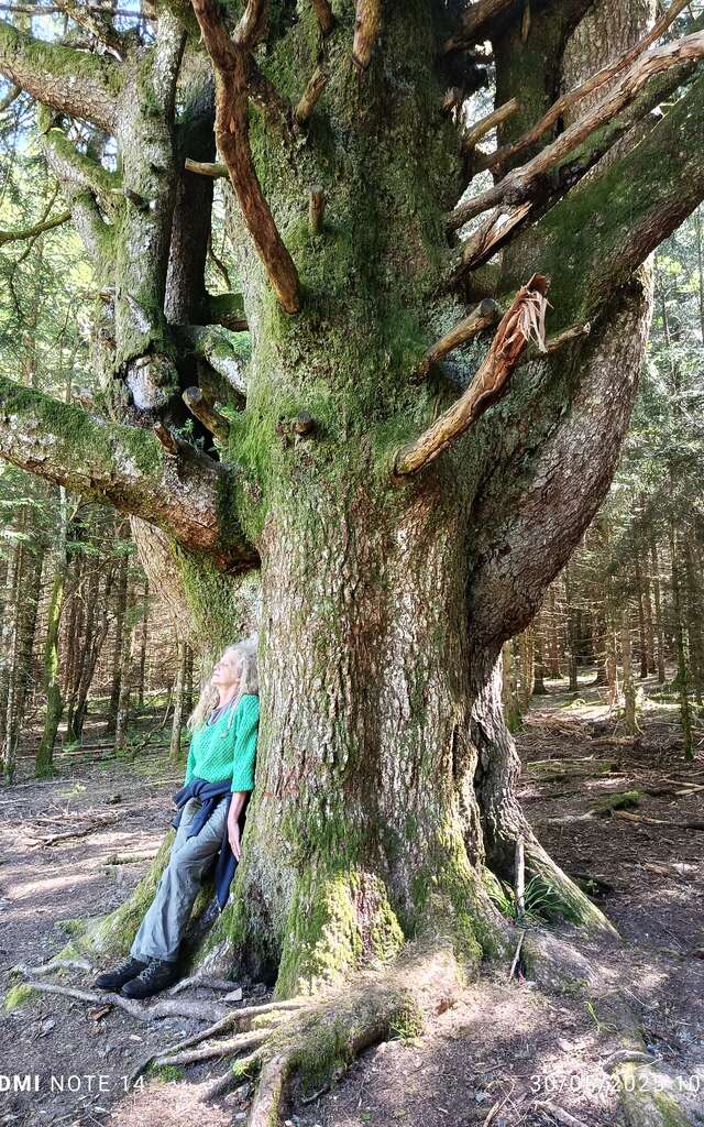
Our selection of hikes
For everyone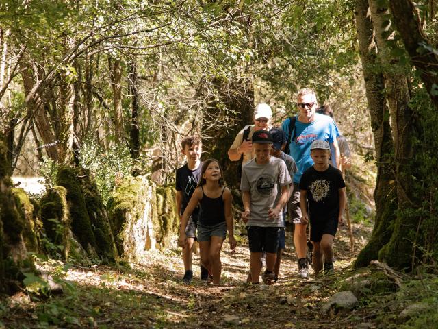
Our little tips!
Let us guide you
Promotional hiking map in Bugey
Download our map and discover 34 of the most beautiful hiking trails in the region.
Several maps are on sale at the Tourist Office.
Ain-Outdoor,
the application for your outdoor sports outingsDownload the free Ain-Outdoor app on your smartphone and discover the most beautiful hikes in the area and the Ain department. Suitable for all levels, the proposed hikes are downloadable on the app, you will then just have to let yourself be guided by following the chosen trail.
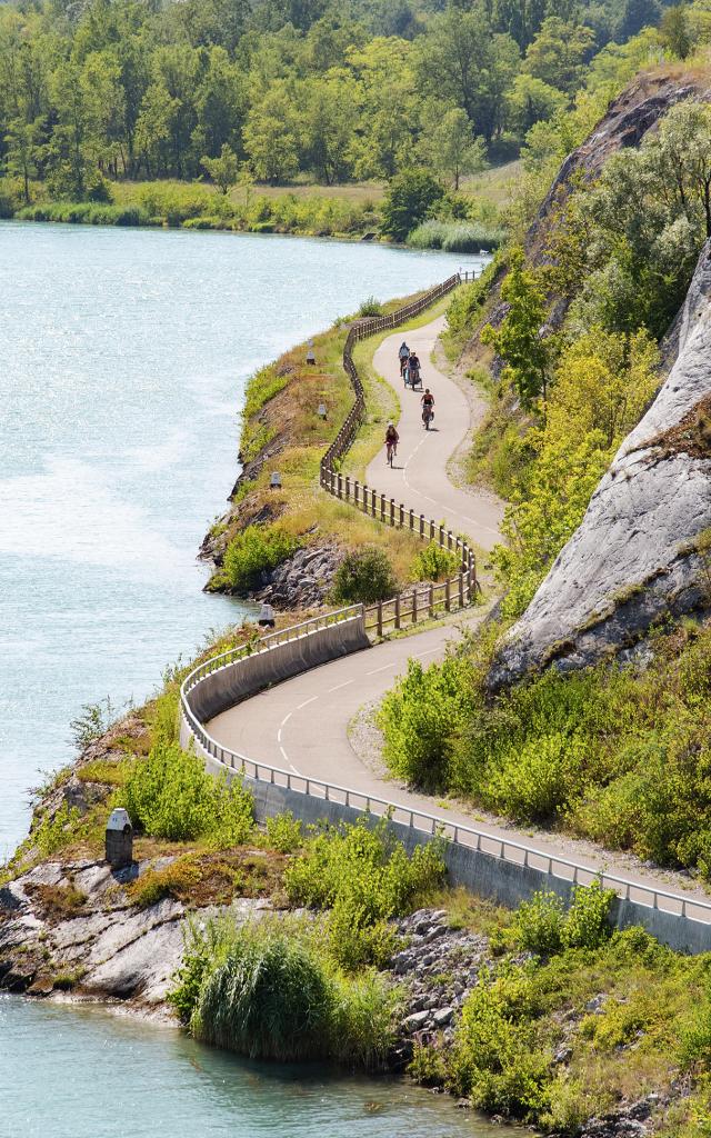
Find the hiking, trail and cycling trails and routes on the app and the website ain-outdoor.com.
Everything to organize your hike


Before you leave
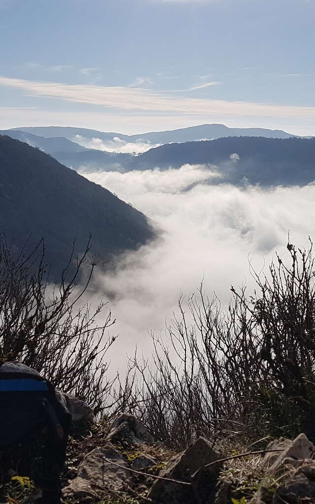
- What are the best hikes to stay cool during hot weather?
- How to react when facing a herding dog?
- Are the hikes marked?
- Is it possible to camp on the Plateau de Retord and the Grand Colombier ?
- Which app can I use for hiking?
- What kind of walk can be done at the top of the Grand Colombier?
- Where to stay on the GTJ (Grande Traversée du Jura) trail?
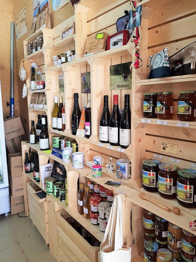
- Is it possible to get hiking maps/guides on site?
- Are there any protected areas in the South Bugey ?