Enfants randonnant en forêtEnfants randonnant en forêt
©Enfants randonnant en forêt|Laurent Madelon

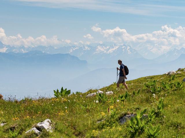
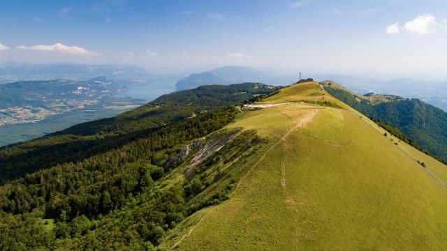
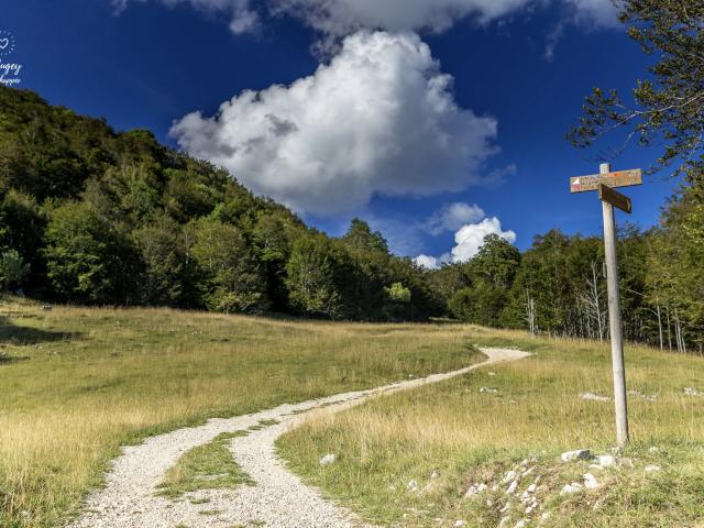
The varied landscapes of the Bugey mountains make it an ideal terrain for orienteering. Whether you are a beginner or a competitor, the forests, ridges and plateaus are playgrounds adapted to all levels of practice.

Courses and training

You are a club and want to practice Orienteering on the 2018 and 2020 OOcup courses in the Ain department? Find the OOcup map library by contacting the Ain departmental orienteering committee.
cd01courseorientation@gmail.com
+33 (0)7 89 45 60 10

The Ambérieu OC offers you a training camp, from April 8 to June 11, 2023 on terrains close to the CFC.

OOcup/2018 teaser
OOcup/2018 teaser
OOcup/2018 teaser

Orientation course

in Plans d'Hotonnes

Permanent sports courses

Permanent orienteering courses in Les Plans d’Hotonnes:

Download the map and go search of the markers of the green and blue courses of the Plans d’Hotonnes leisure orientation area. Find the maps on sale in the shops of the resort and at the tourist information office.

Maps are also available on the free app O’run. The app (available in English) gives you the possibility to validate the beacons through the GPS of your phone and has a time ranking.

16016003-1-1.png

For families

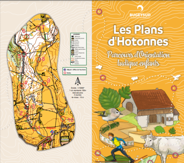
Permanent fun and heritage trails in the Plans d’Hotonnes:

Download the maps and go in search of the 11 easy level markers laid out along a 4.5 km circuit.
The 2 maps are accompanied by a fun quiz, a question about the Plans d’Hotonnes resort and the Plateau de Retord is asked on each beacon. The children’s trail and the adult trail are identical, only the questions change. The starting point is located in front of the Tourist Office of Les Plans d’Hotonnes. Find the maps on sale in the shops of the resort and at the tourist information office.
(In French only).

Parcours-ludiques-jpg.png

Supervised orienteering activity

Organize your stay

Close