
Hike: Montagne de Saint-Benoit
Sport, Pedestrian sports, Hiking itinerary
in Groslée-Saint-Benoit
10.0
km
4h
Hard
-
Hike starting from Saint-Benoit.
-
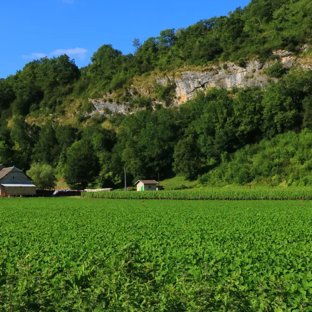
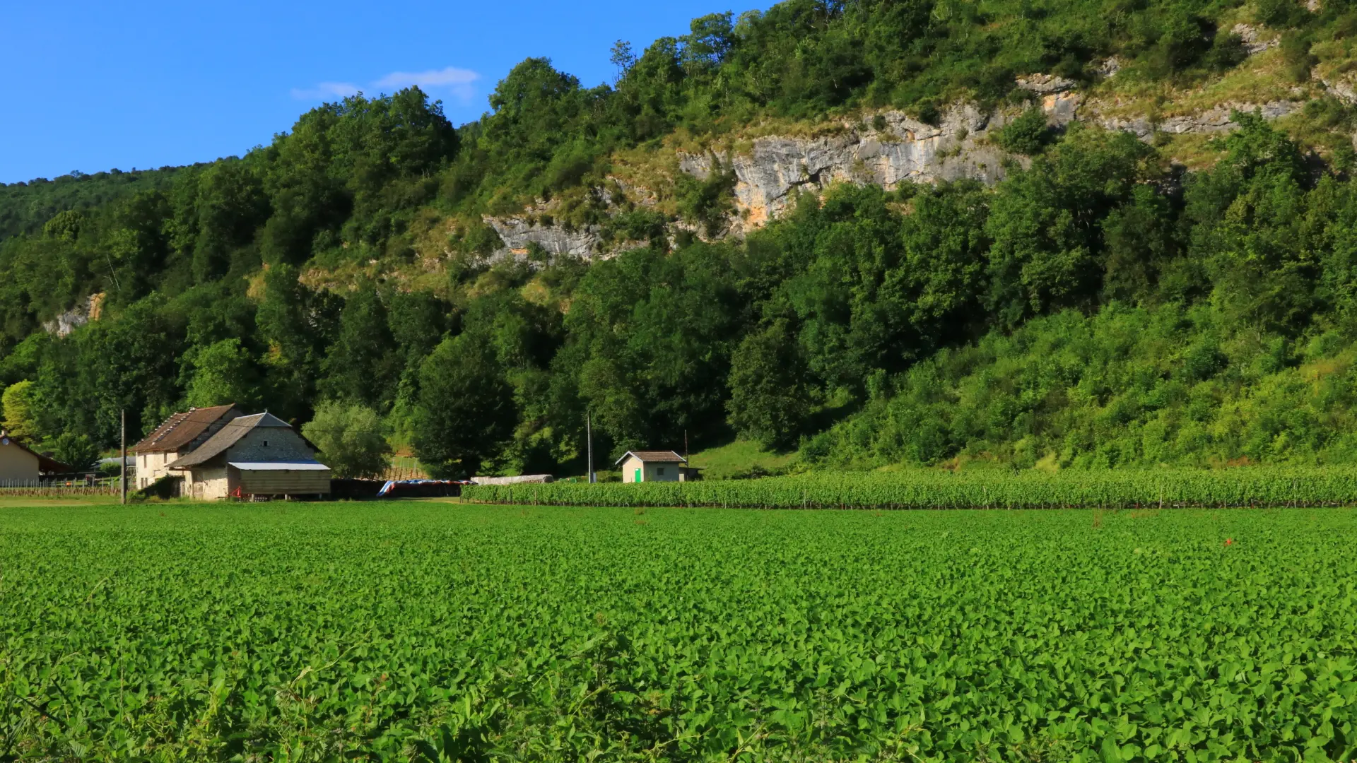
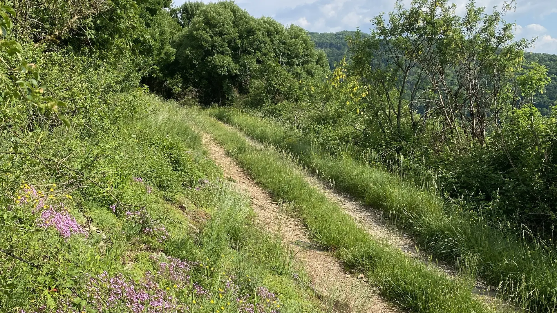
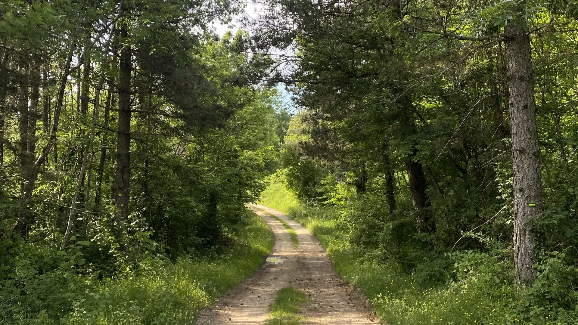
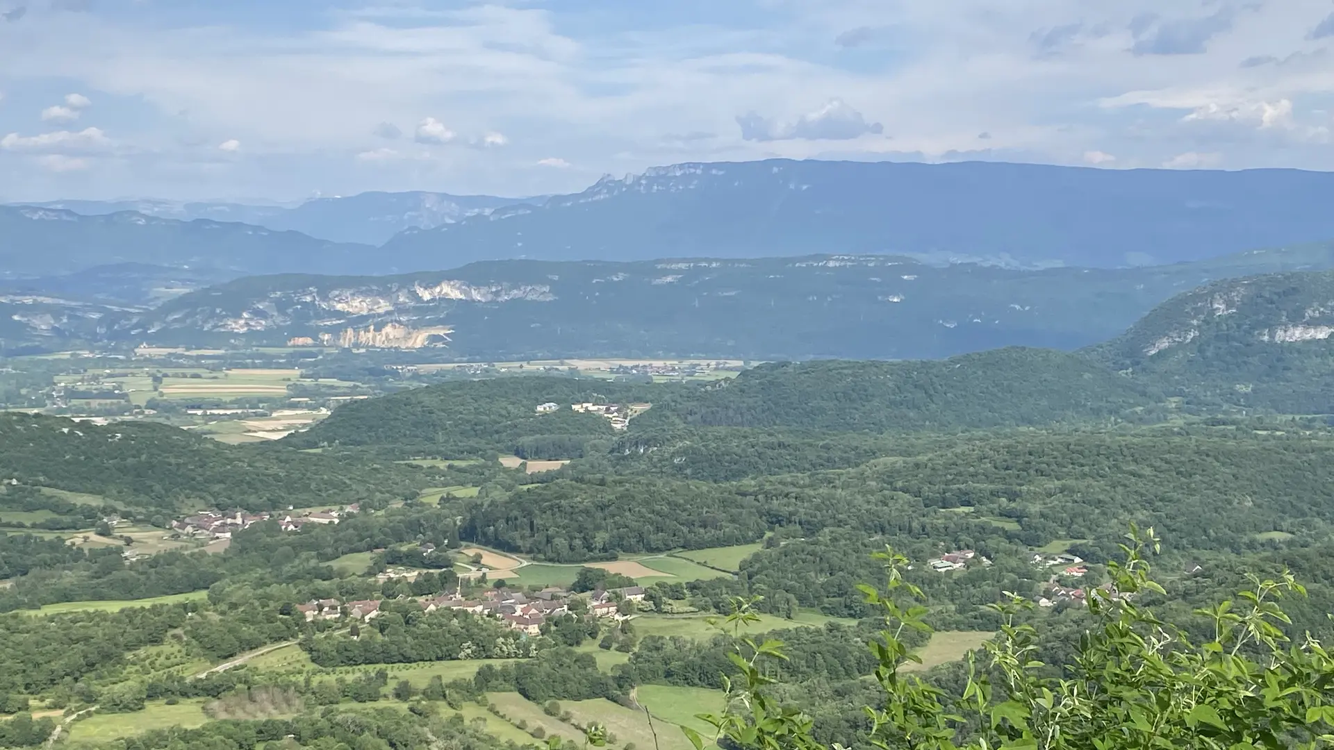
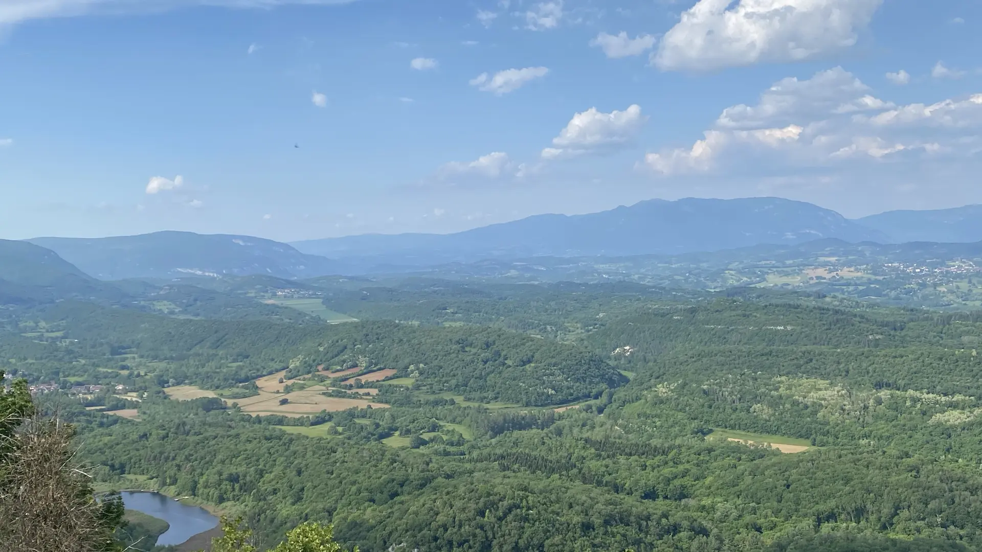
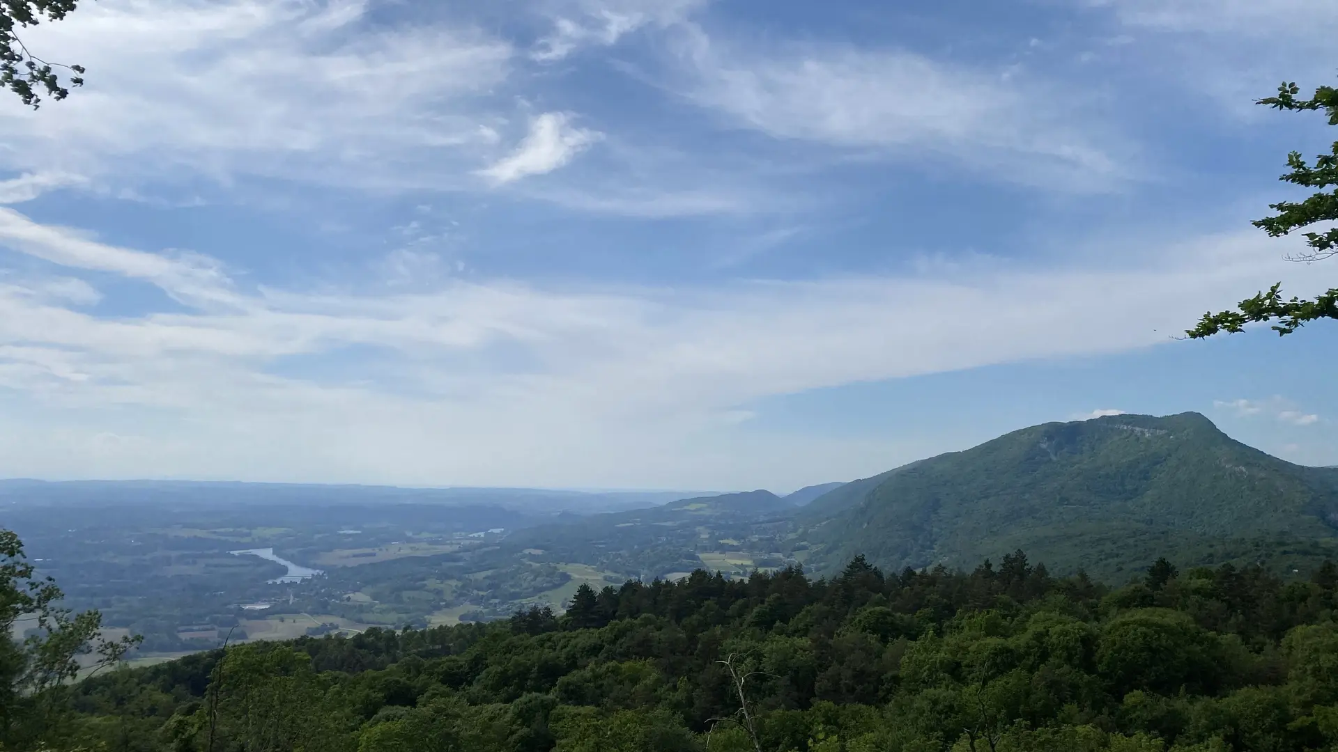
The circuit leading to the St Julien panorama bypasses the cliffs of St Benoit to offer a breathtaking view of the Rhône as far north as the Isère region on one side, and on the other side the Mont Blanc, the Alpine range, the dent du Chat, part of the Bugey Sud.
-
-
Plain text period
- Closed temporarily.
-
-
-
Spoken languages
-
-
-
Documentation
- GPX / KML files allow you to export the trail of your hike to your GPS (or other navigation tool)
-