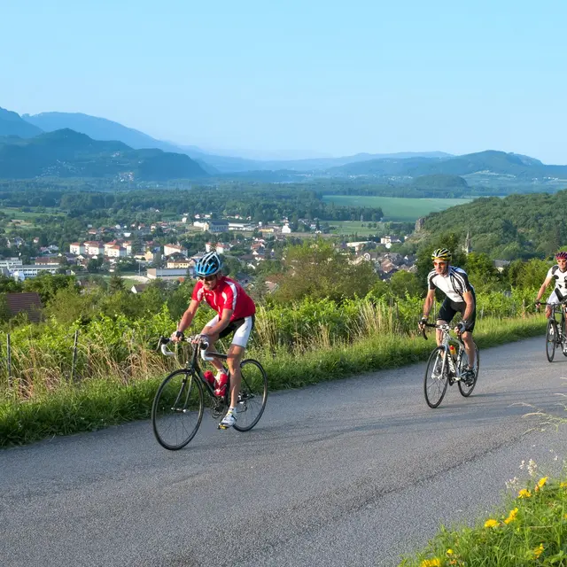
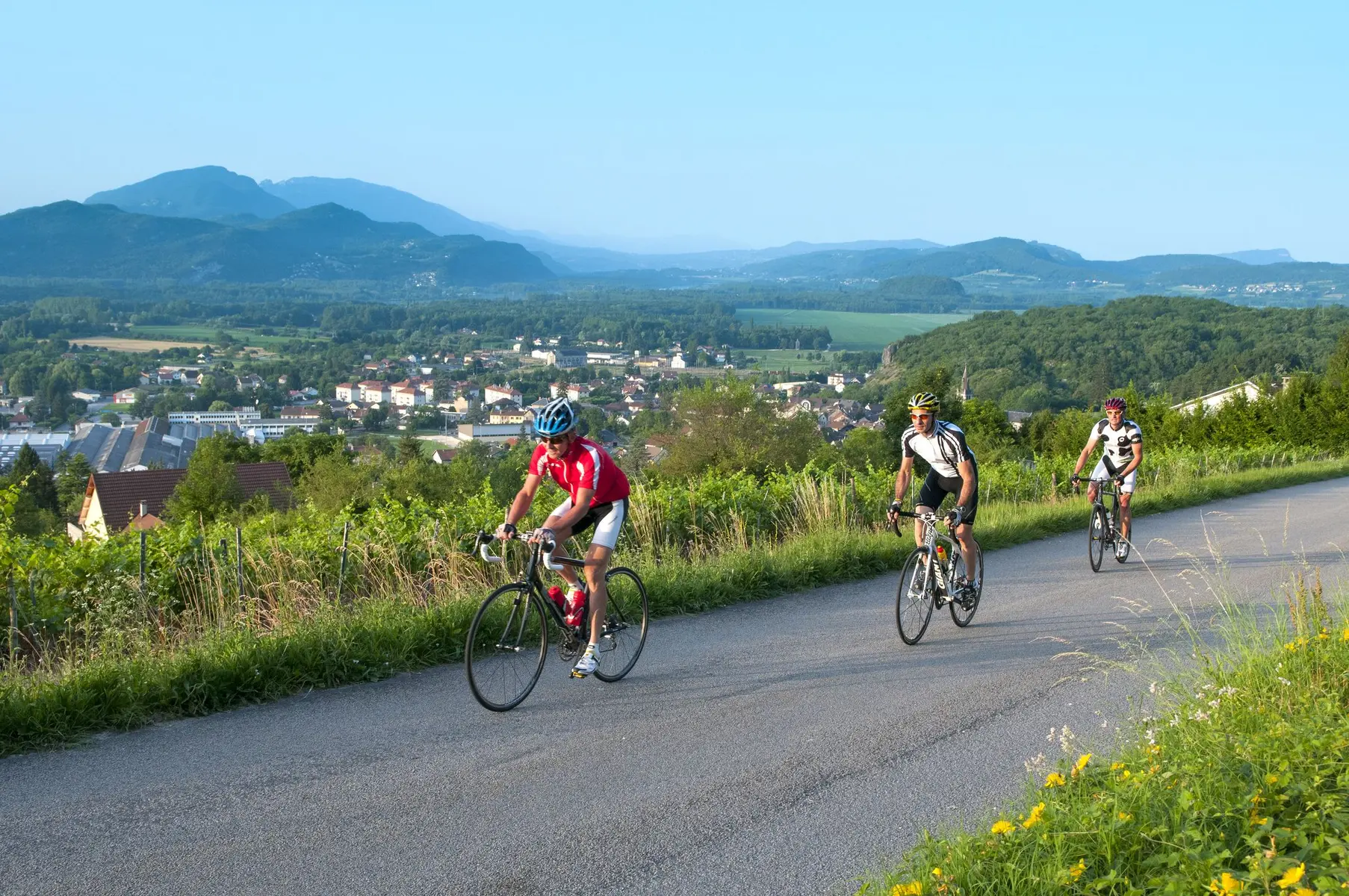
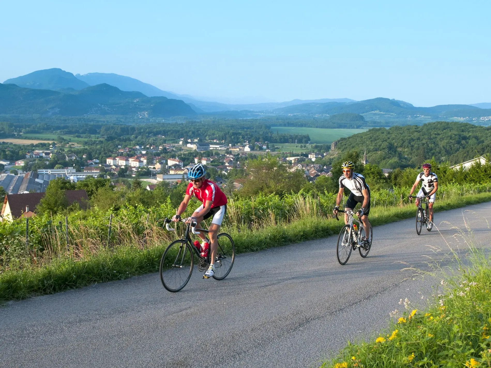
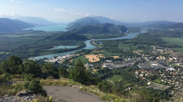
Departing from Culoz, between wild Bugey and the peaceful reflections of France's largest natural lake in Savoie, a cycling route as sumptuous as it is stimulating begins: the tour of Lake Bourget via the Col du Chat. This circuit, popular with road cycling enthusiasts, harmoniously blends athletic challenge and natural beauty.
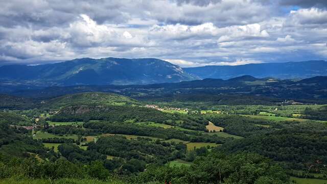
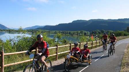
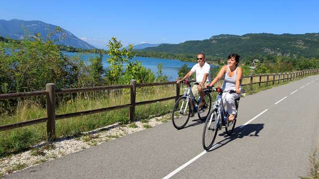
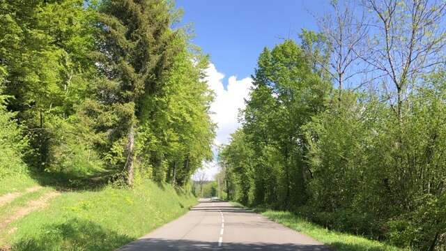
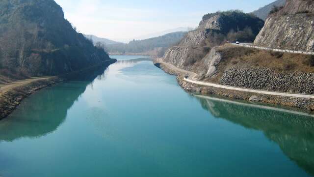
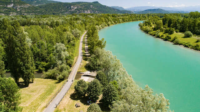
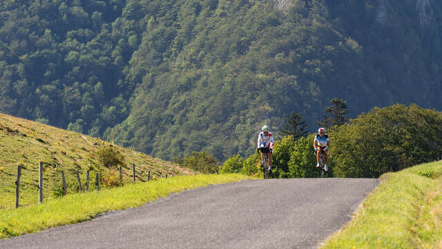
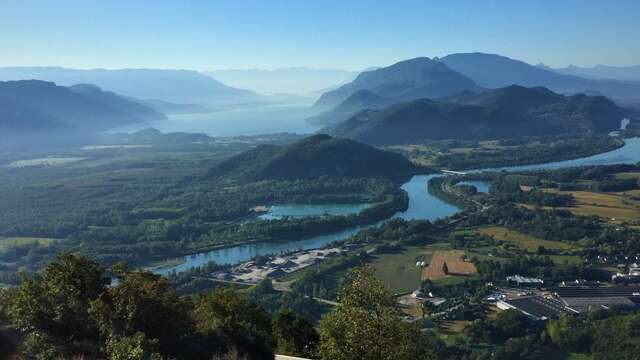
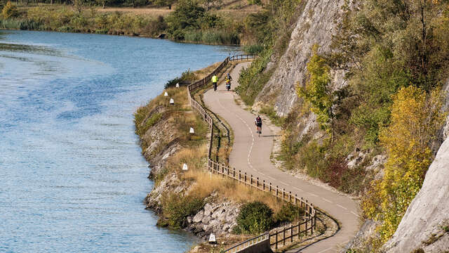
From the first few kilometers, you follow the ViaRhôna and the peaceful banks of the Savières Canal, a true link between the Rhône and Lake Bourget. Then, after skirting the northern and eastern banks of the Bourget, passing through Aix-les-Bains, with the deep blue of the lake as a backdrop, you will reach the southern shore of Lake Bourget. But the highlight of this loop remains the ascent of the Col du Chat from Lake Bourget. The effort is felt as it winds between limestone cliffs, but each pedal stroke offers an increasingly spectacular view.
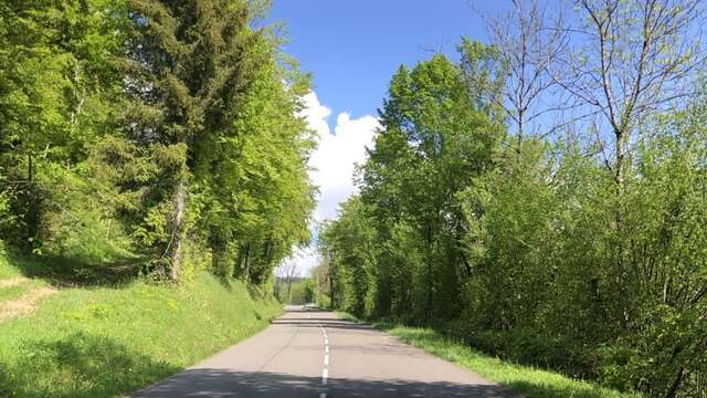
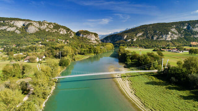
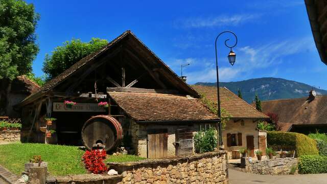
The descent takes you to the majestic Jongieux bends, where the road winds through the Savoyard vineyards. All that's left is to follow the ViaRhôna cycle route, passing through the small village of Chanaz.
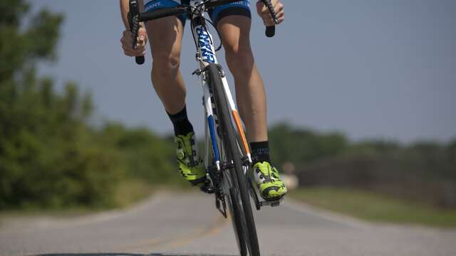
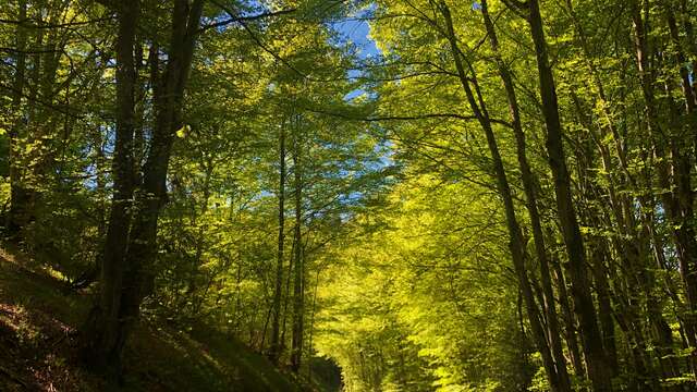
This comprehensive tour, with its changing landscapes and varied rhythms, offers cyclists a true immersion in an alpine setting spanning lake, pass, and valley. An unforgettable outing, ideal for cycling enthusiasts seeking a balance between performance, pleasure, and contemplation.
It is recommended to cycle clockwise to better enjoy the view of the lake.
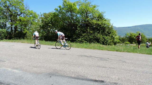
This beautiful ride around the lake is not, however, easy, as it climbs from Bourget-du-Lac to the Col du Chat, the only difficulty on the route, with its 7 km of ascent and 368 m of elevation gain.
(It is possible to avoid the pass by taking the Tunnel du Chat, reserved for pedestrians and cyclists).