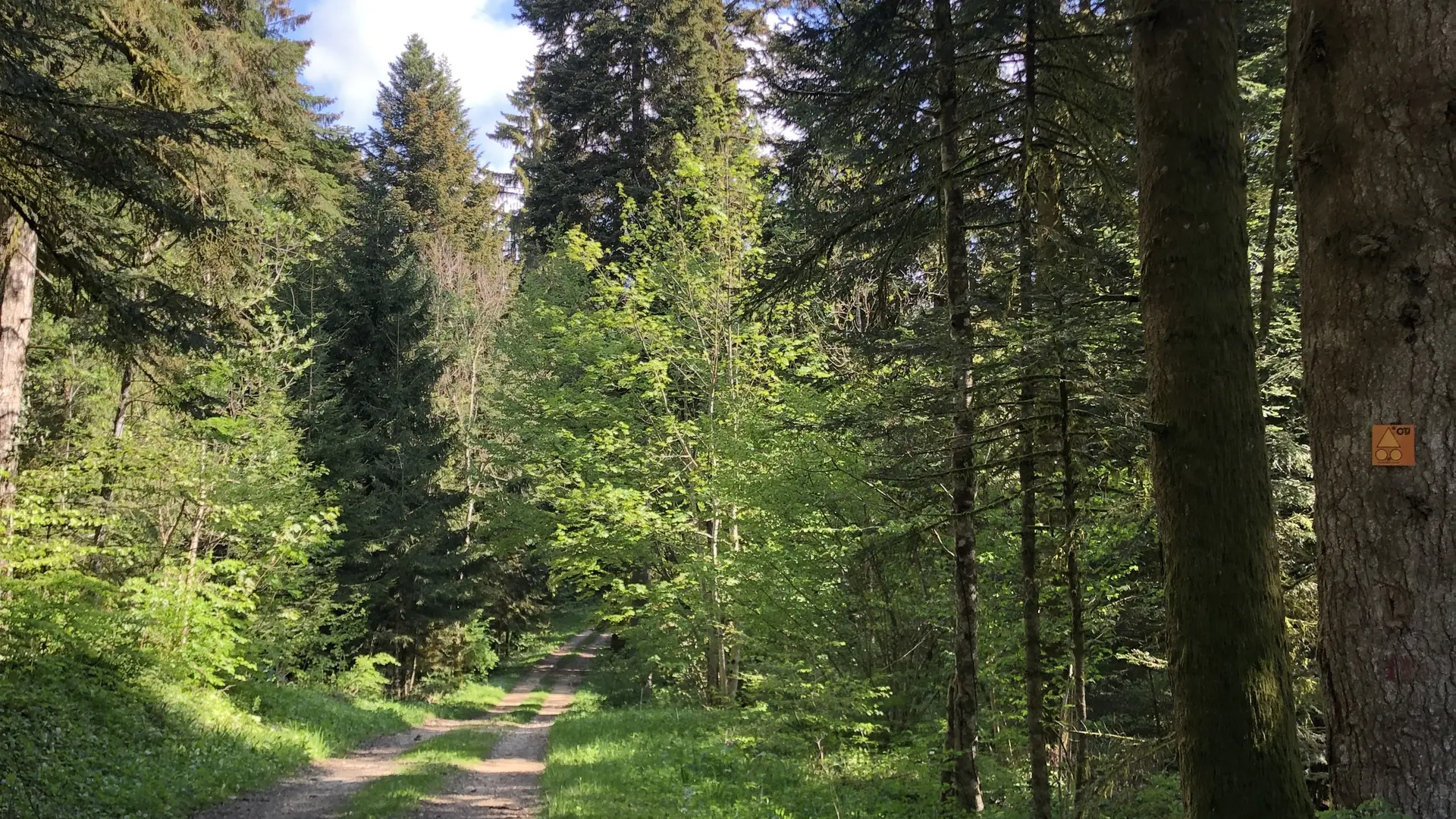
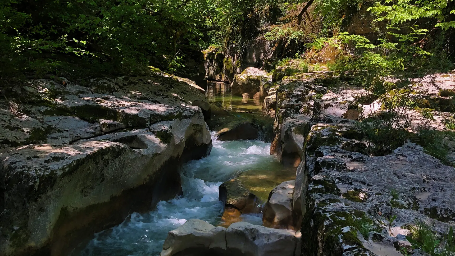
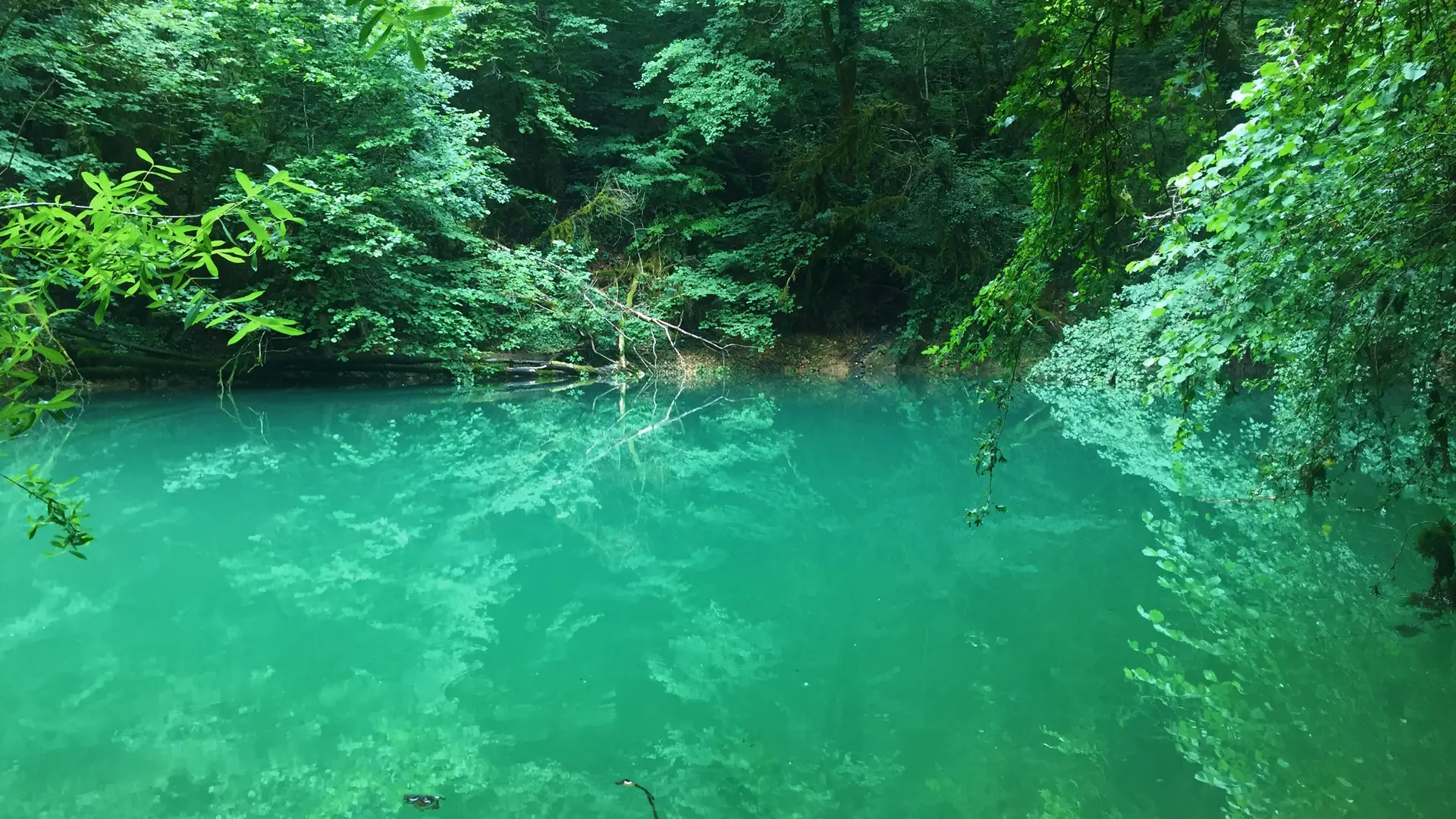
See photos (8)
Multiday mountainbike loop around Grand Colombier: day 1 Culoz - La Praille
Sport, Cycling sports, Mountain biking itinerary
in Culoz-Béon
32.0
km
5h
Hard
-
Day 1 of the southern loop of the Grande Traversée du Jura on Mountain bike.
-
With a length of almost 32 km, this first stage includes half of the total elevation gain.
From the banks of the Rhône to Culoz at an altitude of 250 meters at the foot of the giant of Bugey, the Grand Colombier, its paths will take you through the south of Valromey near its geological curiosities before rising into the forests of the separating ridge the Valromey to the Plateau d'Hauteville via the Lèbe Observatory.
Day 1 : Culoz La Praille (32 km)
Day 2 : La Praille Les Plans...With a length of almost 32 km, this first stage includes half of the total elevation gain.
From the banks of the Rhône to Culoz at an altitude of 250 meters at the foot of the giant of Bugey, the Grand Colombier, its paths will take you through the south of Valromey near its geological curiosities before rising into the forests of the separating ridge the Valromey to the Plateau d'Hauteville via the Lèbe Observatory.
Day 1 : Culoz > La Praille (32 km)
Day 2 : La Praille > Les Plans d'Hotonnes (27 km)
Day 3 : Les Plans d'Hotonnes > Culoz (35km)
- Departure
- Culoz-Béon
-
-
Environment
-
-
-
Documentation
- GPX / KML files allow you to export the trail of your hike to your GPS (or other navigation tool)
-
Services
-
-
Equipment
-
-
-
Services
-