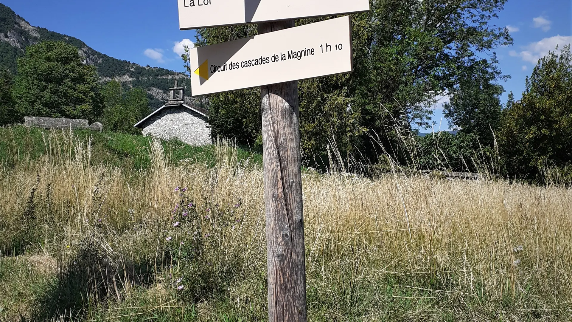
Small loop above Culoz to discover the many small waterfalls of the Magnine on the slopes of the Grand Colombier.
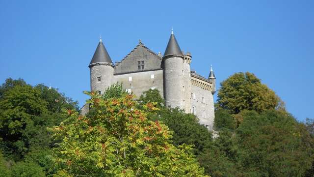
This loop, which departure is located a few meters from the Castle of Montveran, the old aqueduct and the Chapel of Culoz, leads you to follow the various waterfalls of the Magnine on a path up to the Magnine bridge.
Although only 4 km long, this circuit has a significant elevation gain of almost 200 m with parts that can be a little bit steep along the waterfalls. Good footwear is recommended.
Description of the walk:
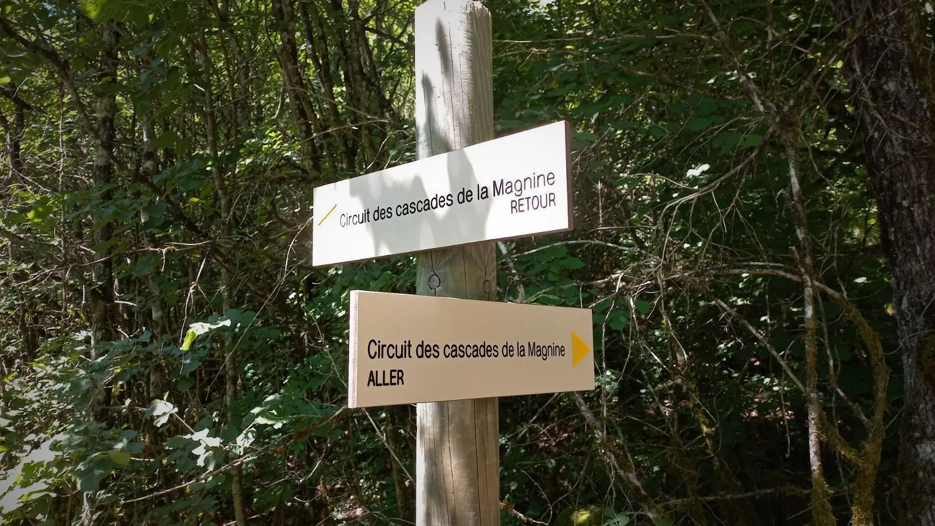
Reach the starting point located at the intersection of Rue Henry Dunant and Rue de Montveran where you will find the first signs mentioning the circuit.
Continue on rue Henry Dunant passing in front of the Clos Poncet, do not follow rue Albert Ferier on the right and continue until rue Henry Dunant becomes a path.
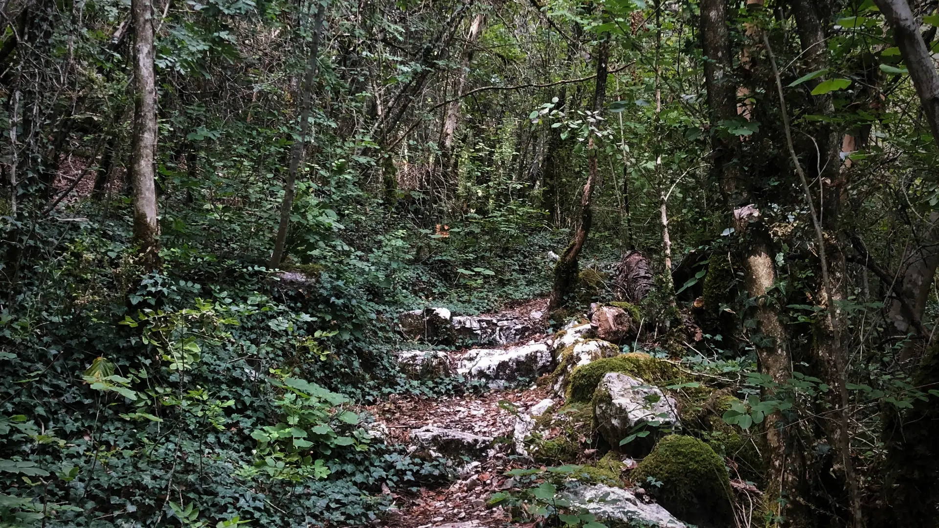
Follow this path which runs alongside the Jourdan without approaching it too closely until the bridge Pont de la Magnine.
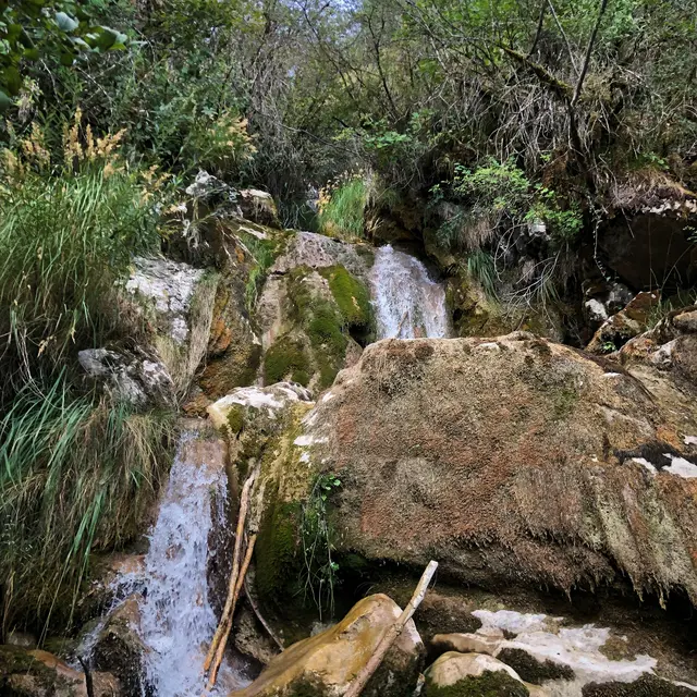
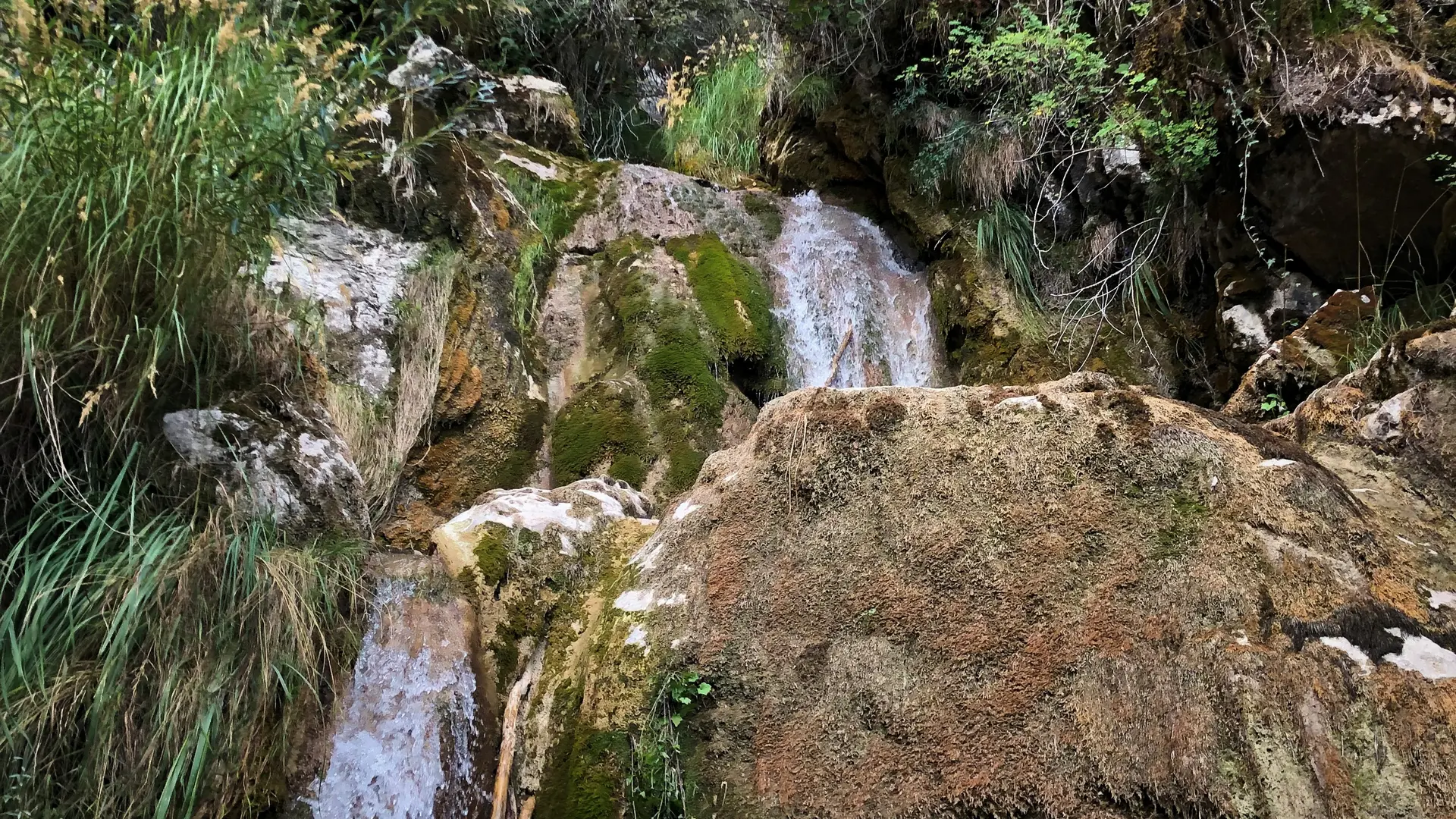
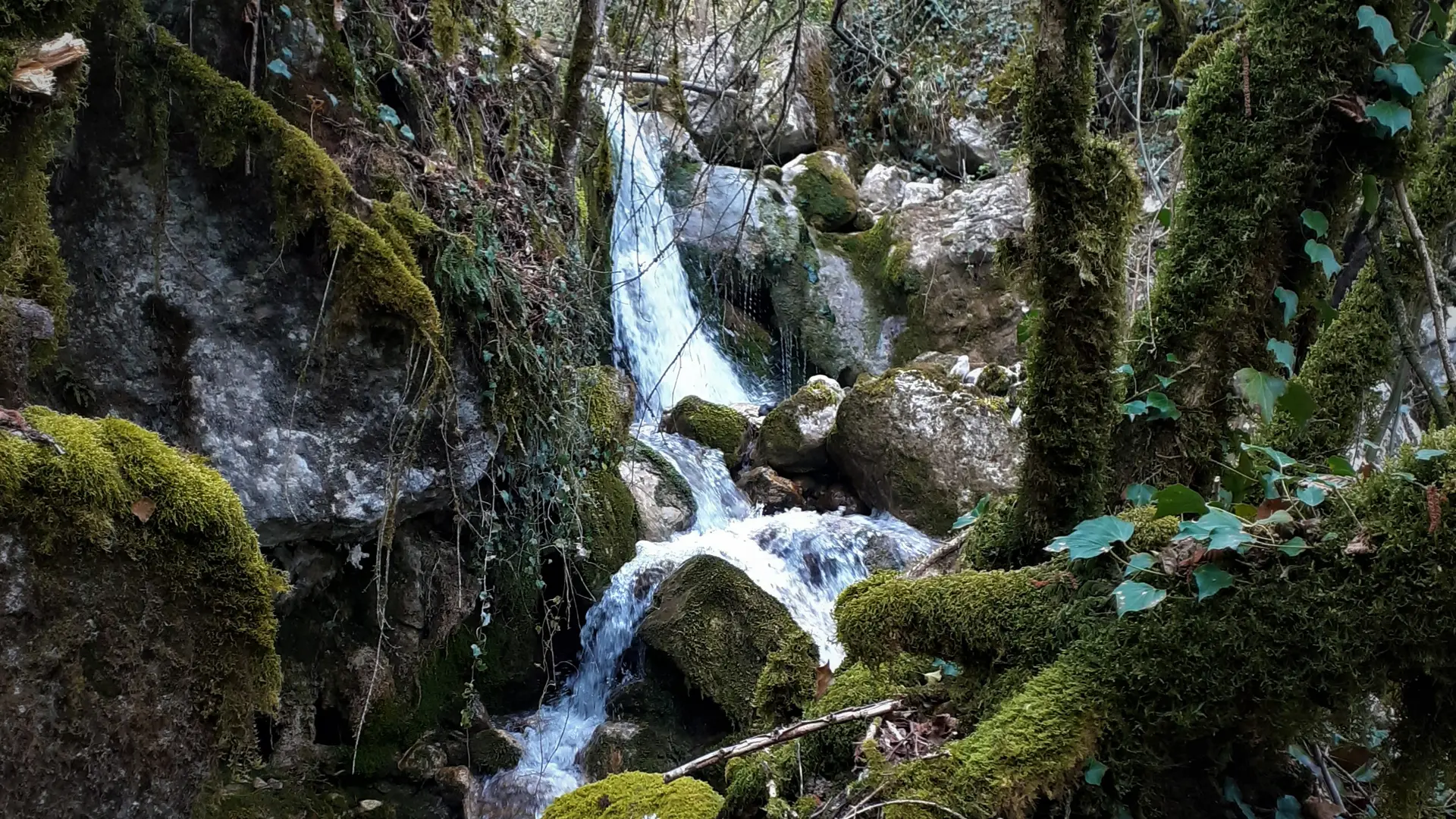
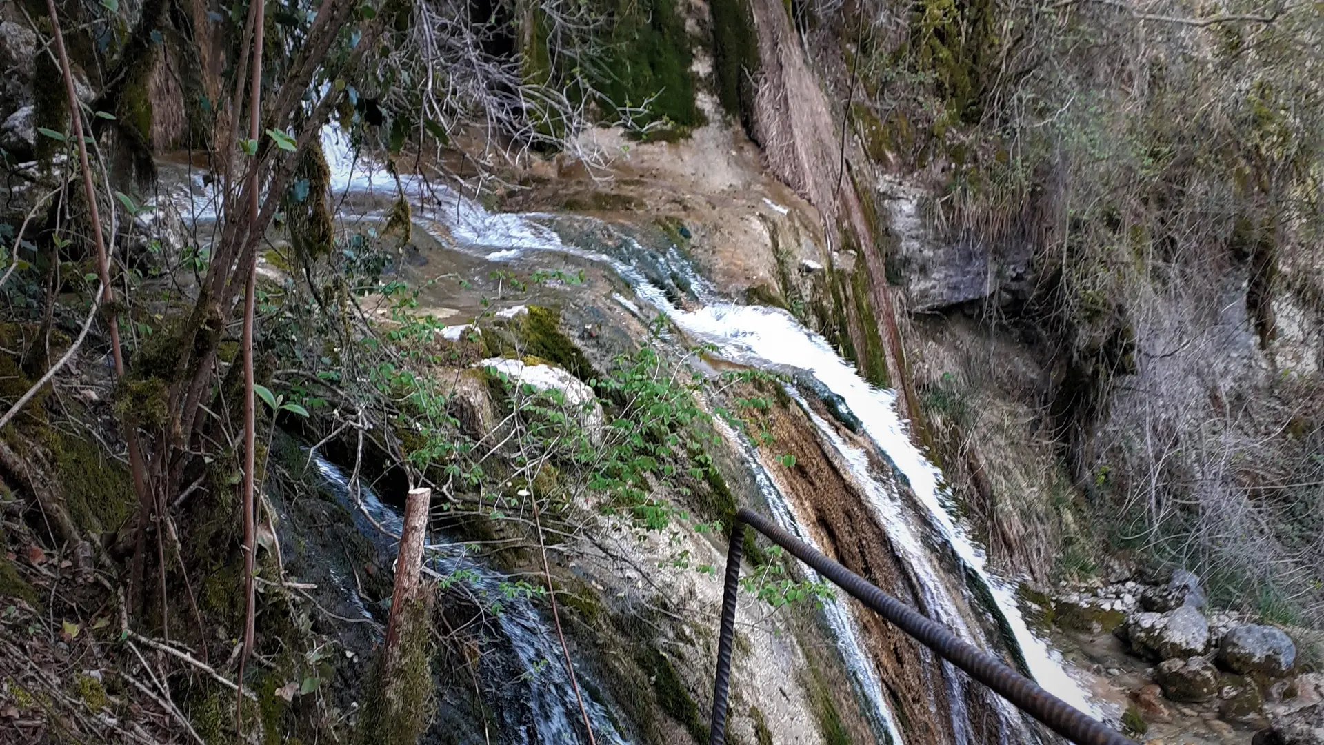
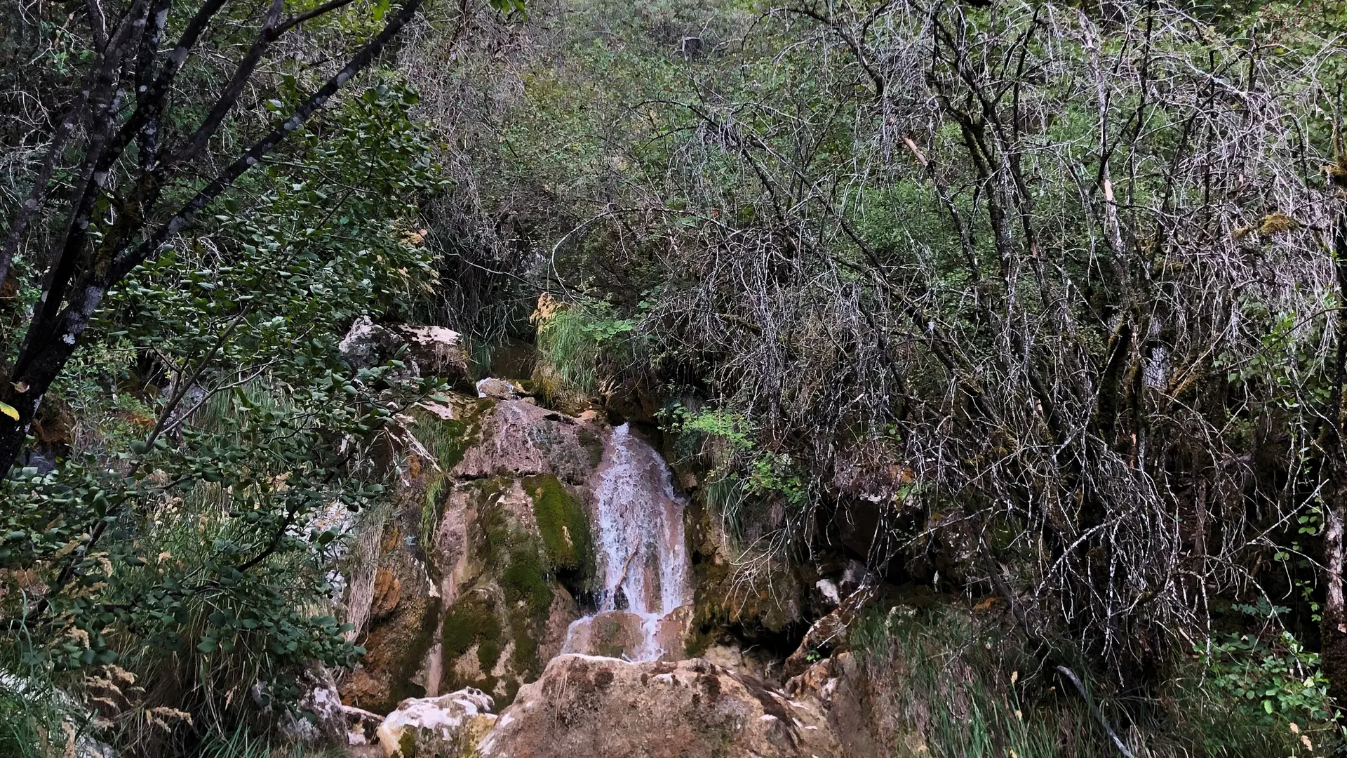
Cross the bridge Pont de la Magnine and climb immediately to the right on the path, this fairly steep path runs along a magnificent succession of small waterfalls up to the brudge Pont de la Source.
At the bridge Pont de la Source, go down the large path on your right until you reach the road, then go down the road for 250 meters.
Turn right following the GR 9 / on a narrow path to the Pont de la Magnine. Continue straight downhill.
Continue down Rue Arsène Dumont and Rue de Chantemerle to the crossroads above the Castle Chateau de Montveran and the Culoz aqueduct. Turn left and go down rue de Montveran to the starting point.