See photos (9)

Hike: on the ridge of the Grand Colombier (circuit des crêtes)

Sport, Pedestrian sports, Hiking itinerary in Culoz-Béon
11.0 km
4h
Medium
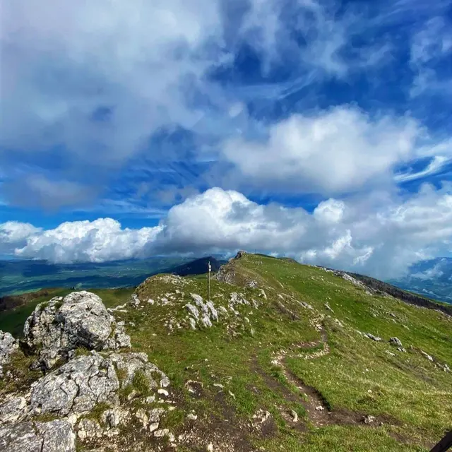
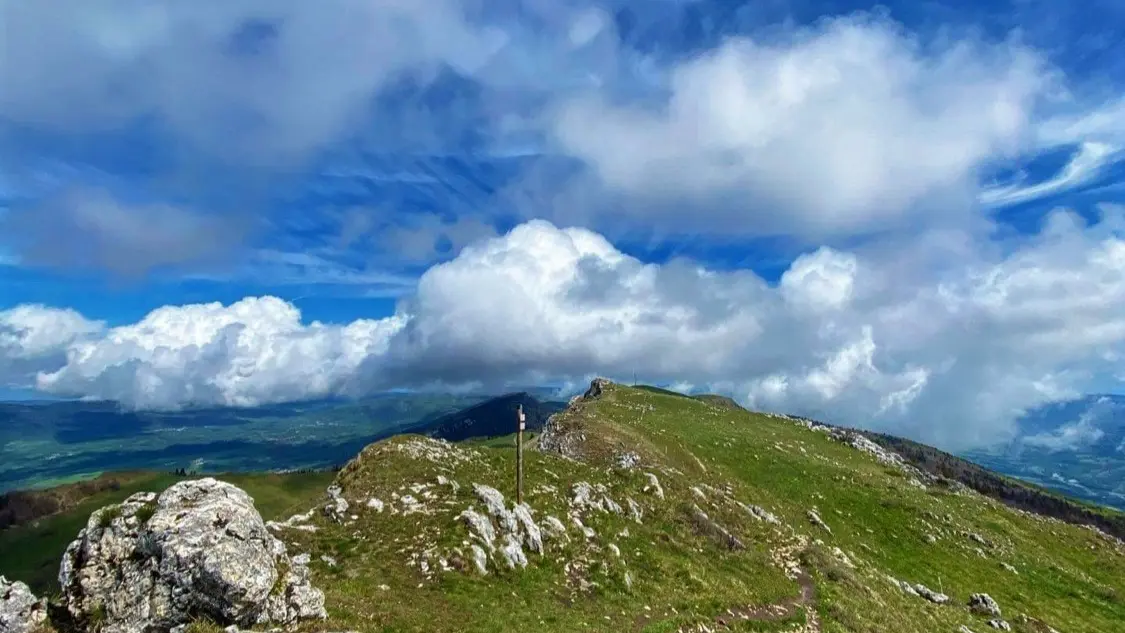
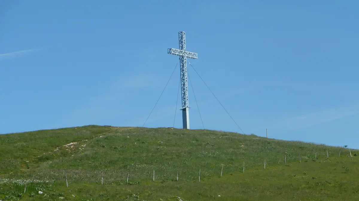
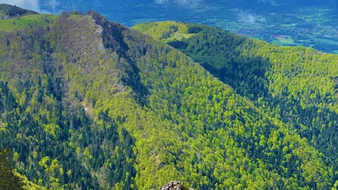
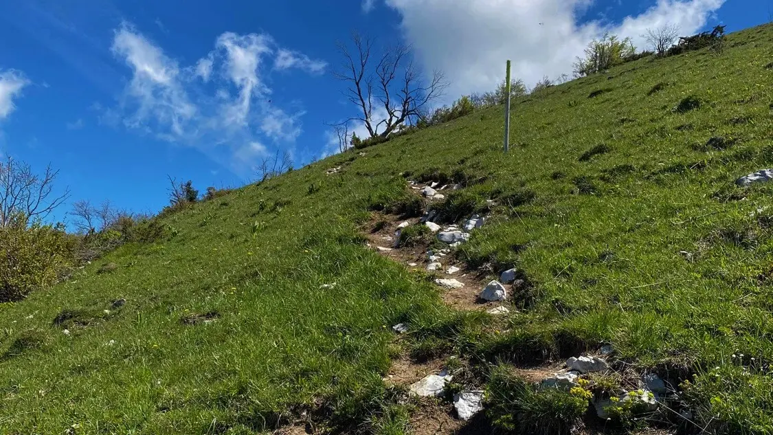
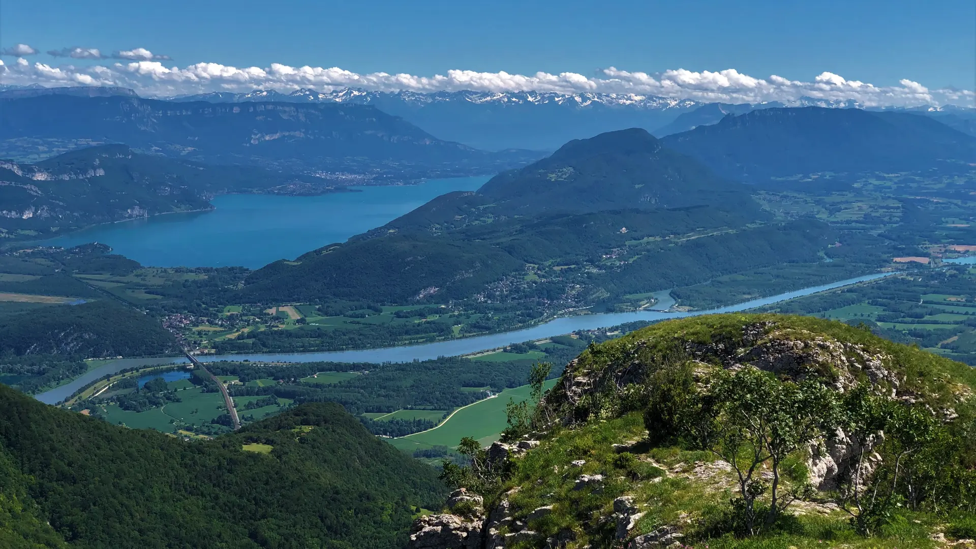
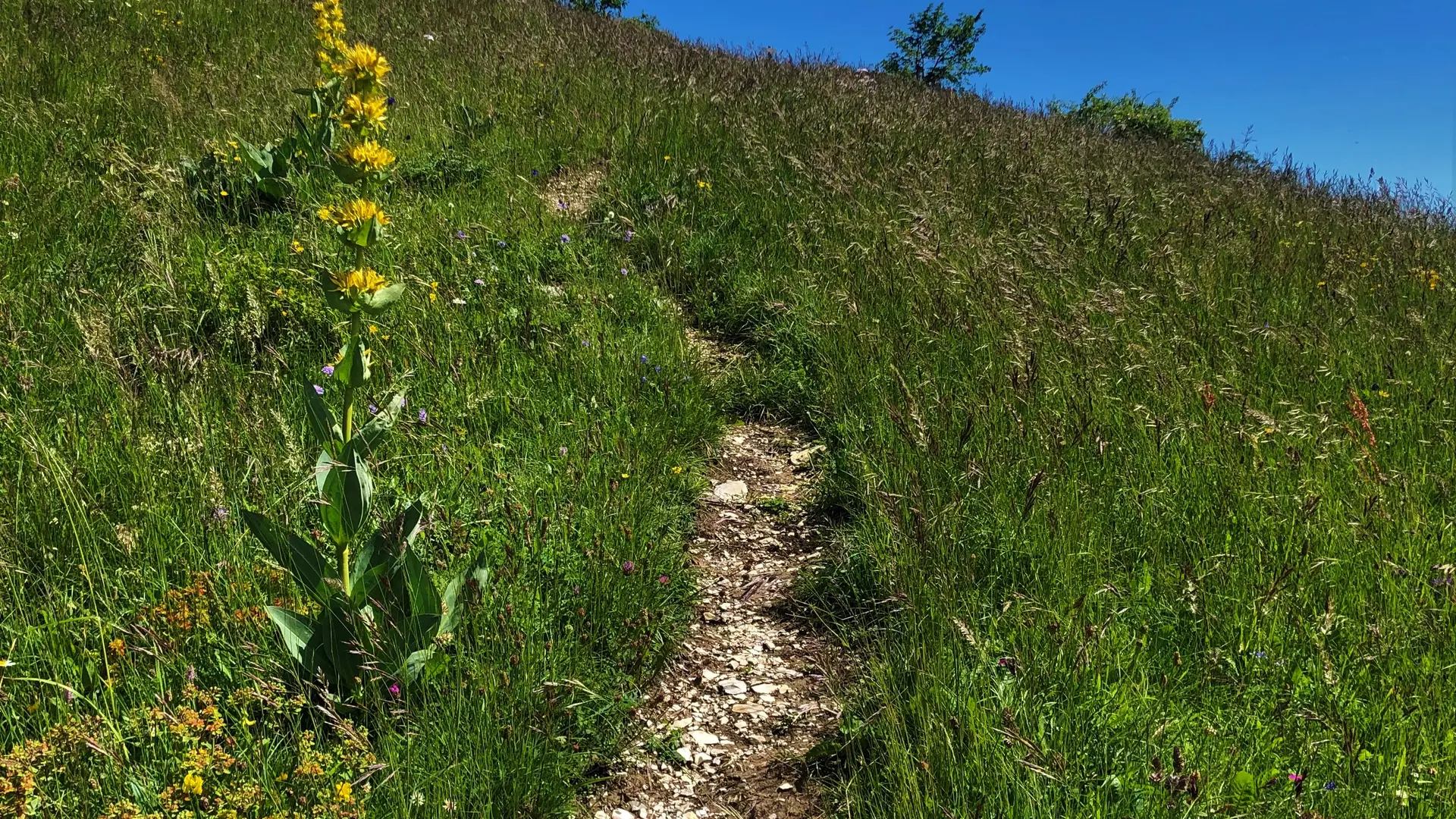
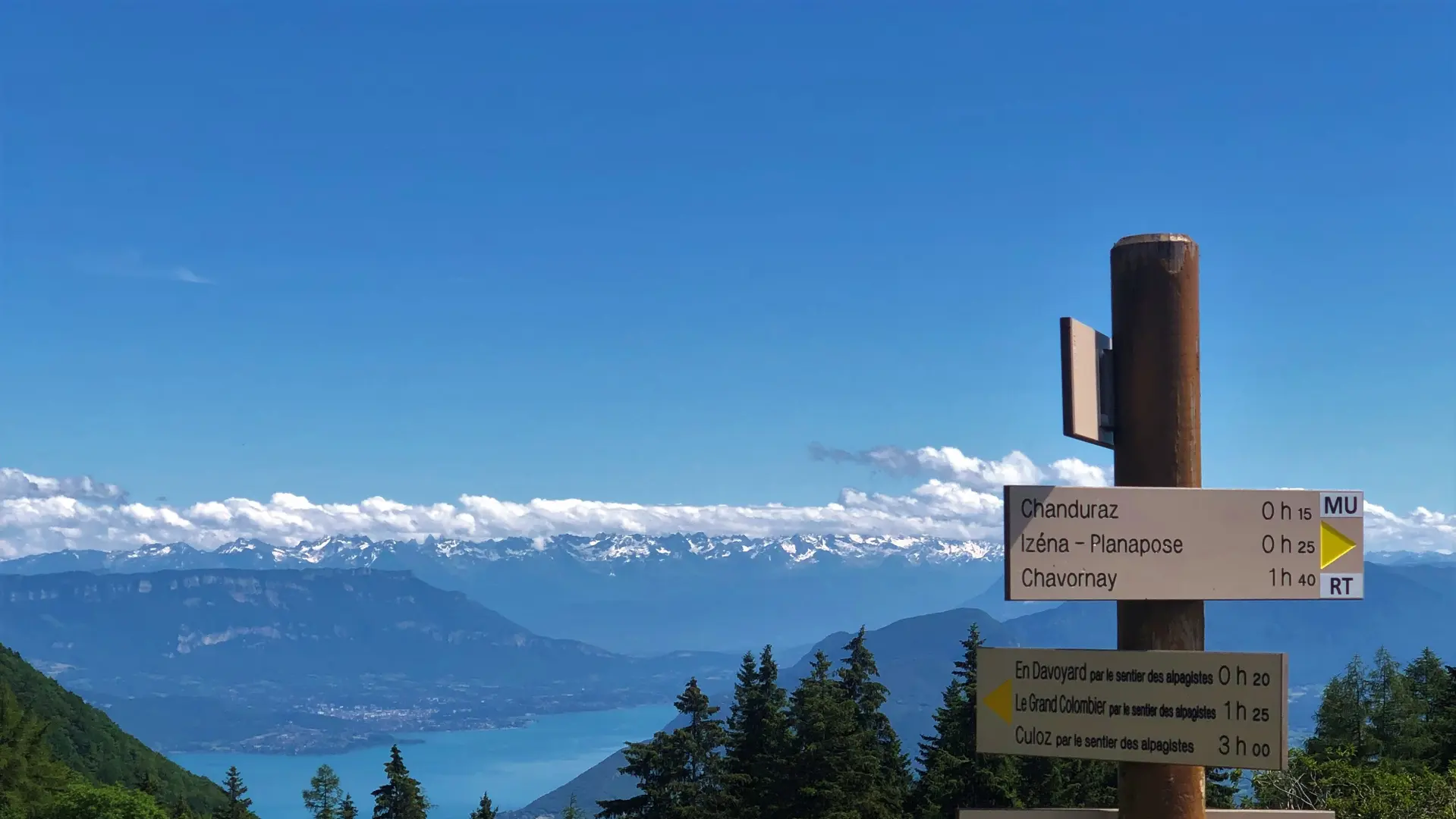
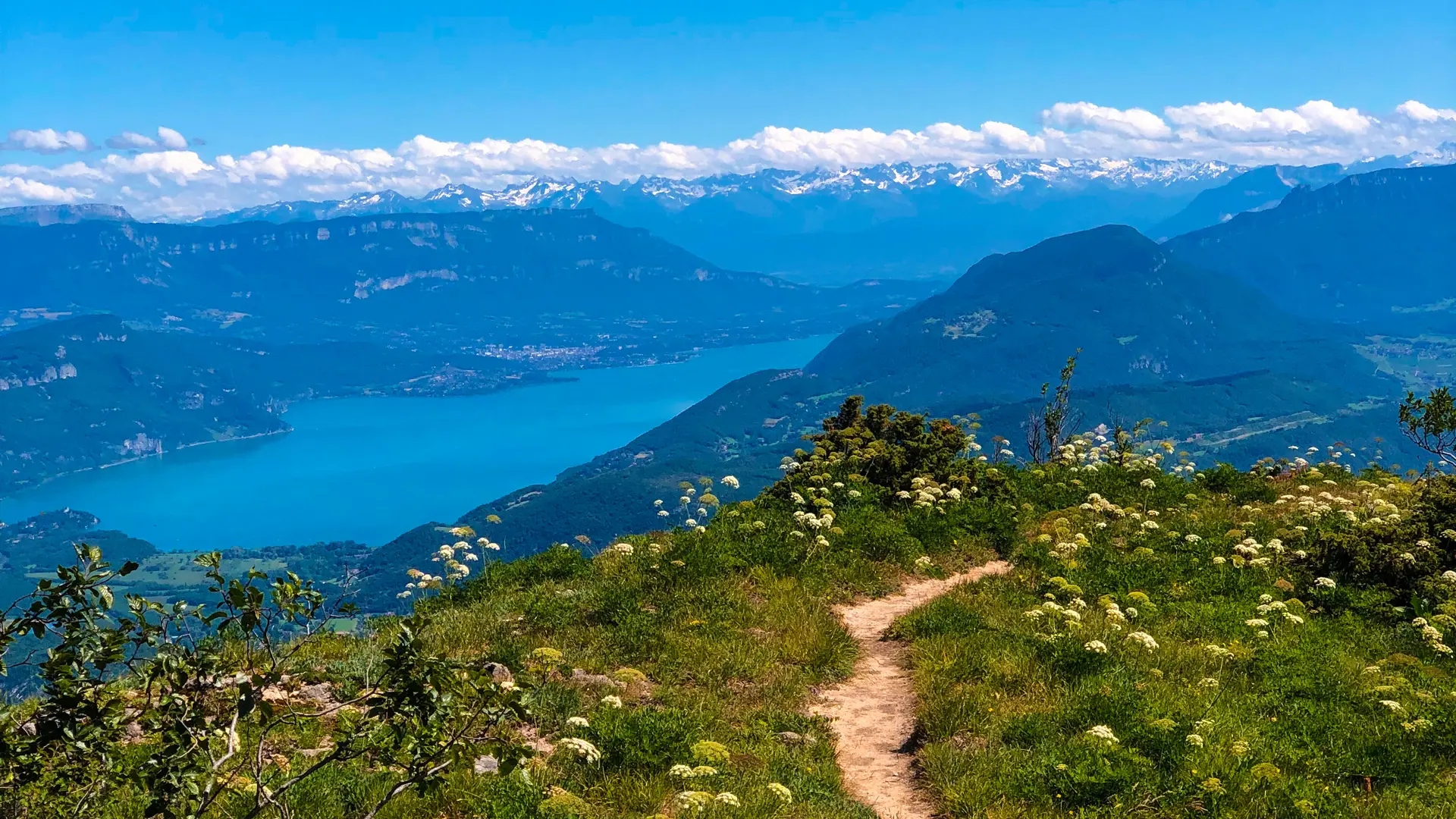
  • Route along the ridges and passing by the summit of Grand Colombier (1531 m), the viewpoint of Chanduraz (1260 m) and the orientation table of the Cross (360 ° panoramic view of the Alps and Valromey)
    Marking: white / red (GR9) and yellow

  • Detailed circuit in the topo-guide "hikes in Bugey" of the Departmental hike committee of Ain including 71 hikes to discover Bugey.

    This hike can be downloaded on the free app Ain Outdoor.
  • Environment
    • In the country
    • Forest location
    • Lake view
    • Mountain view
    • Mountain location
    • Close to GR footpath
    • Overview on river
    • Panoramic view
  • Documentation
    GPX / KML files allow you to export the trail of your hike to your GPS (or other navigation tool)
Close