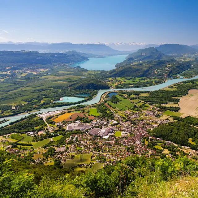
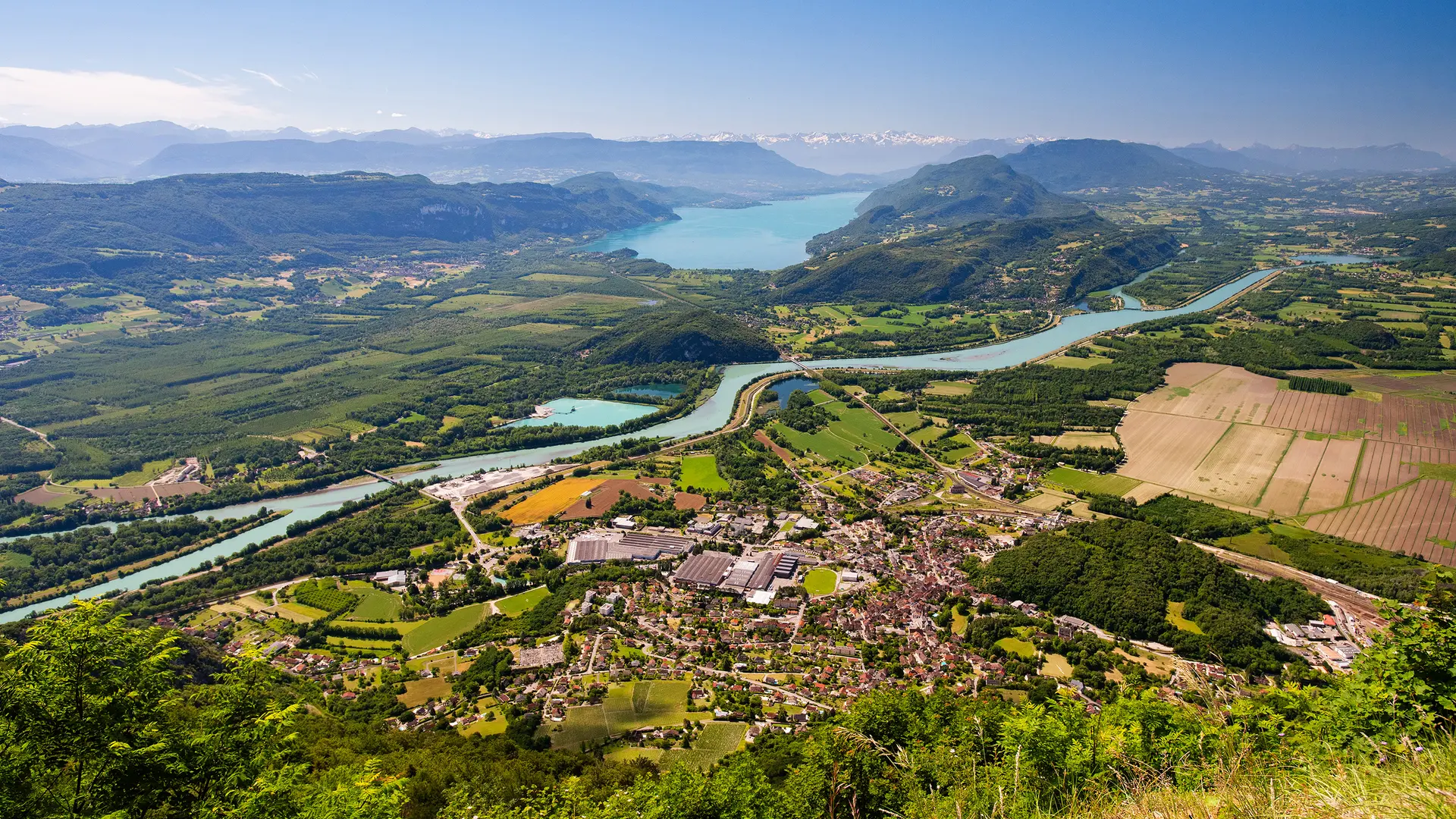
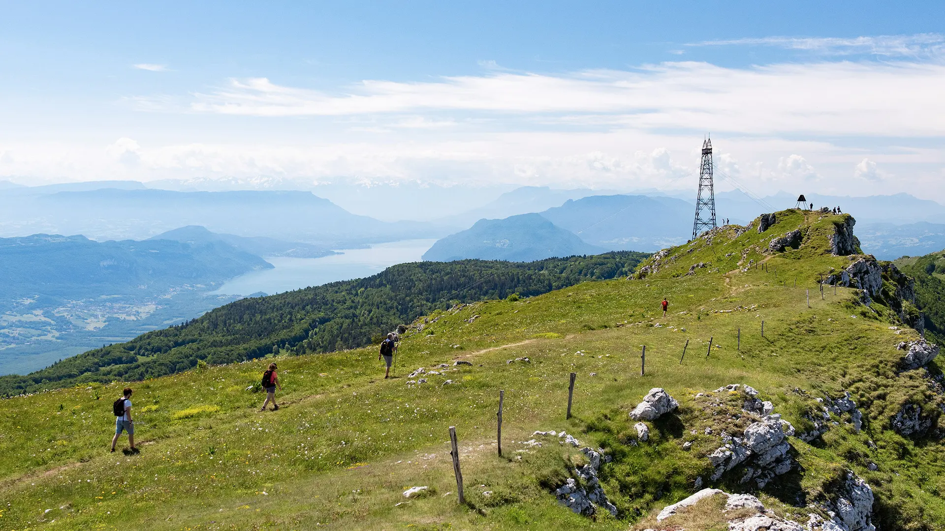
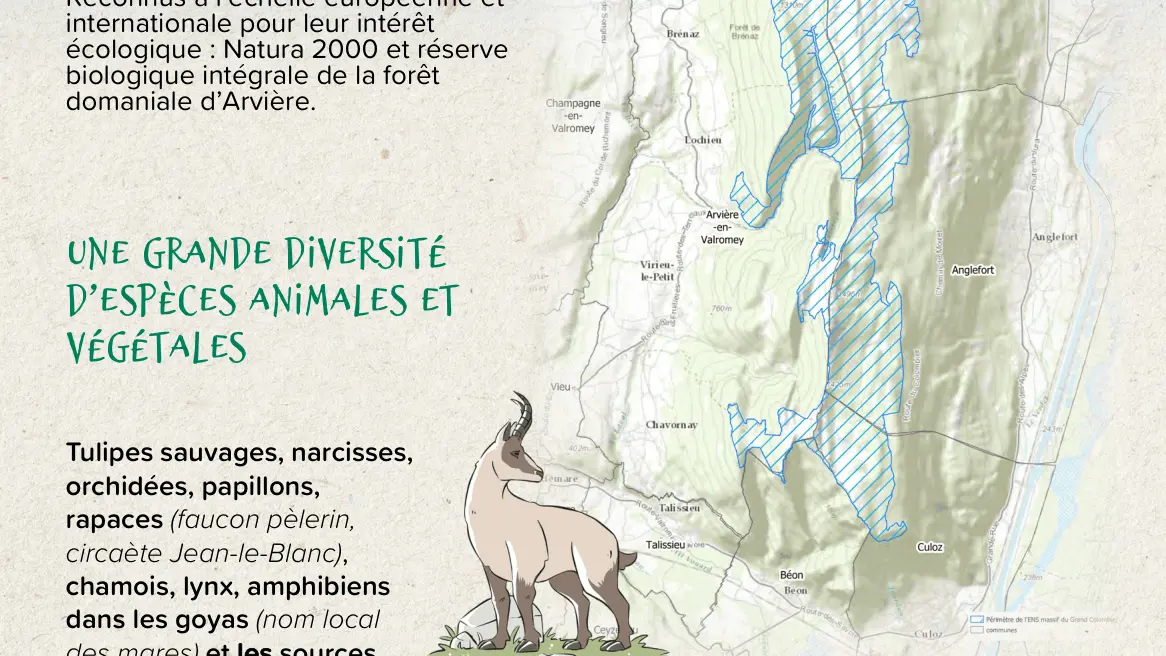
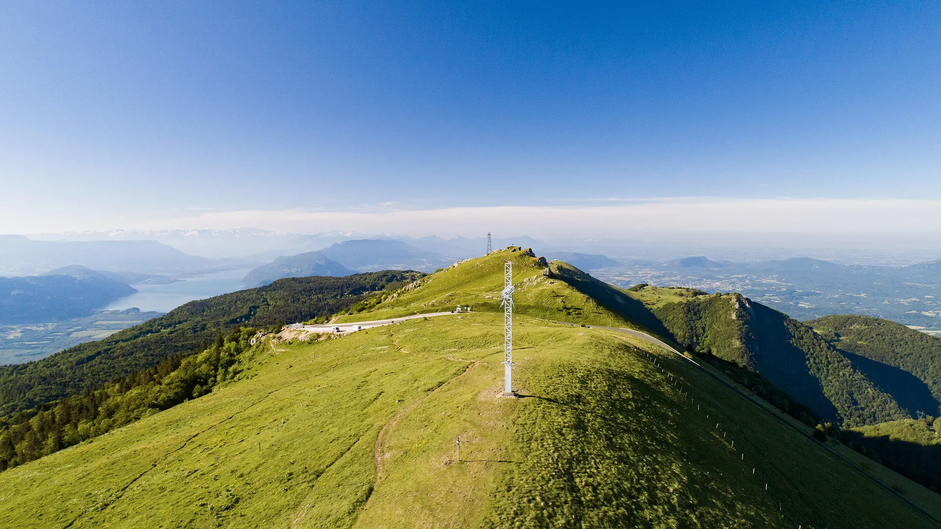
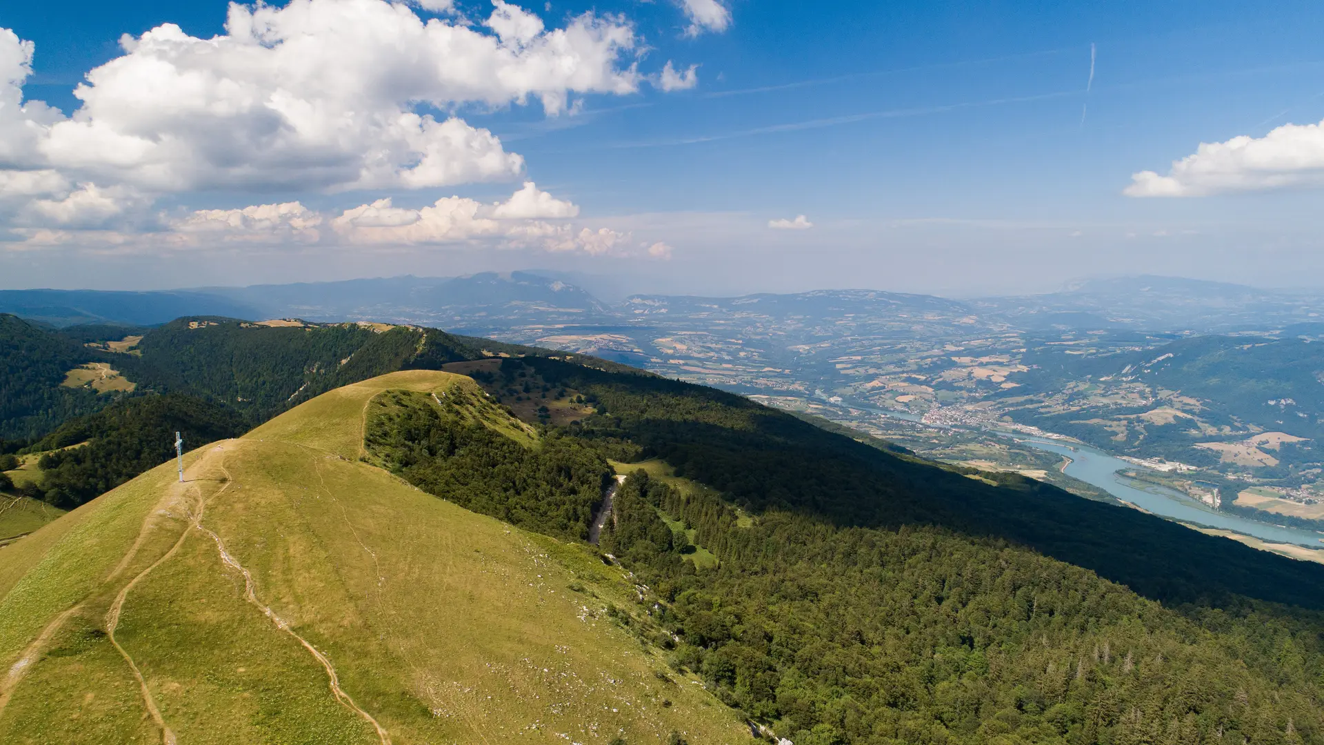
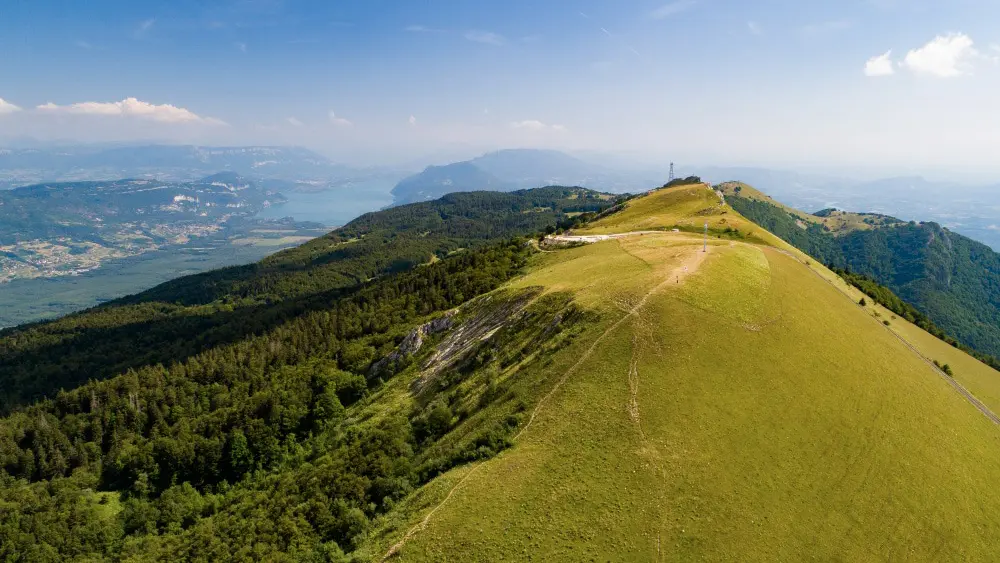
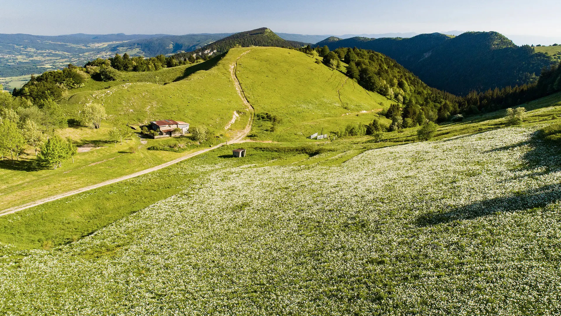
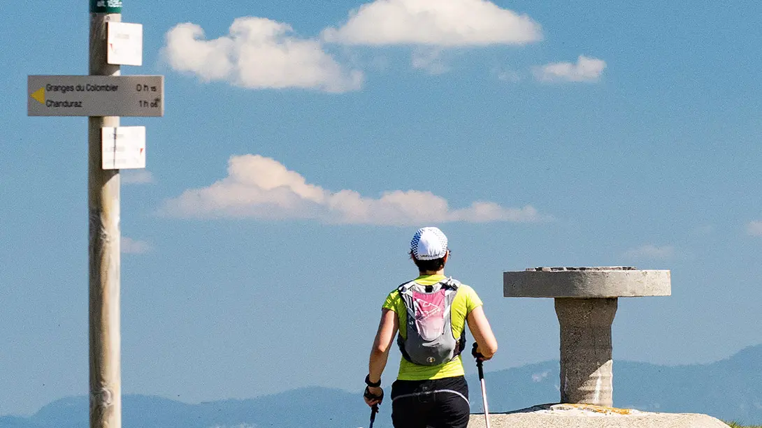
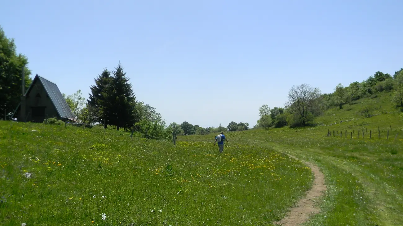
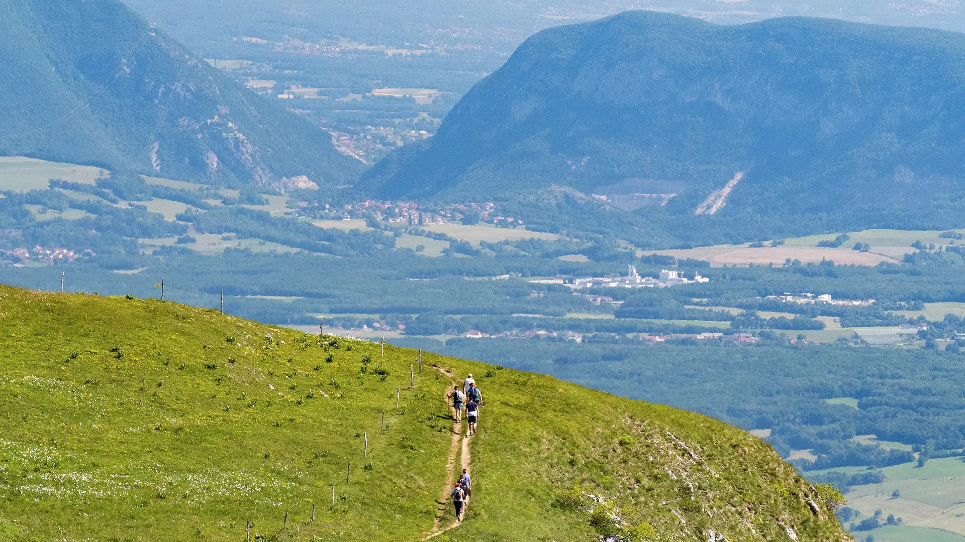
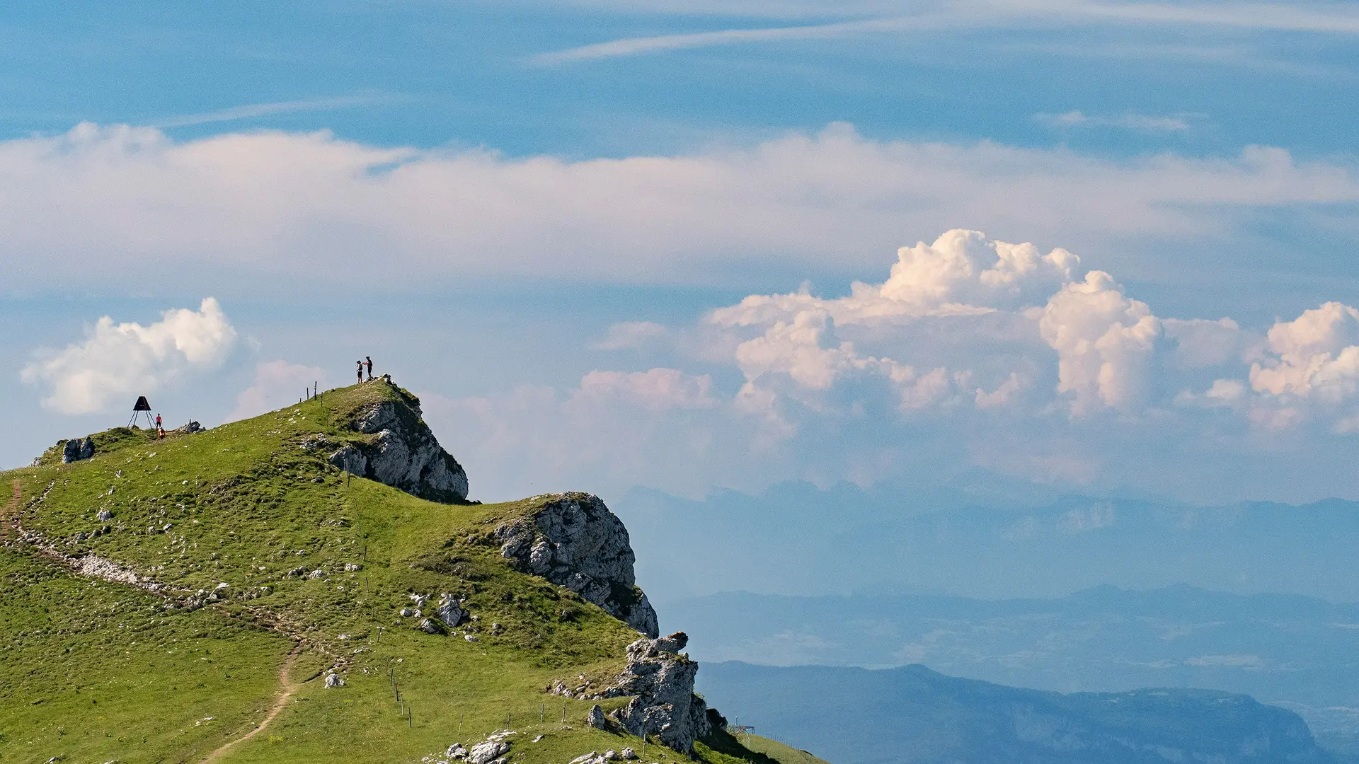
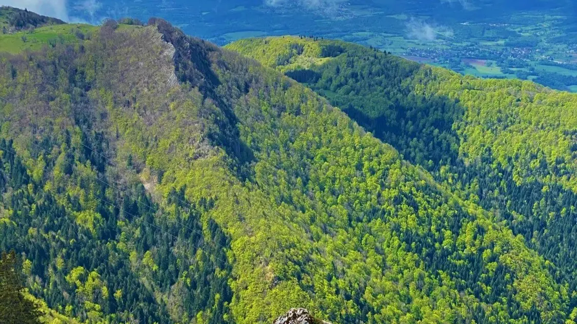
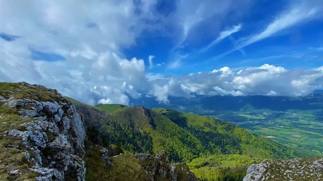
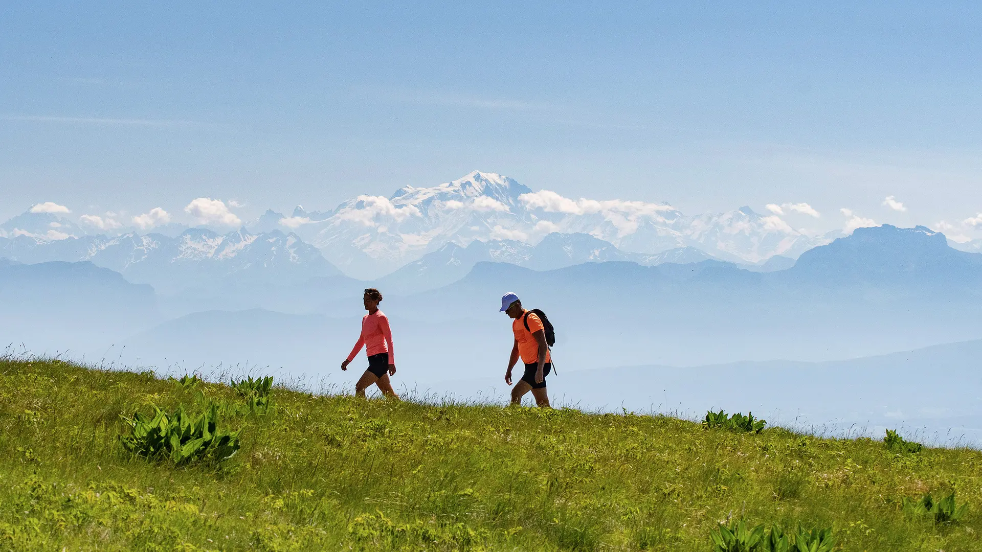
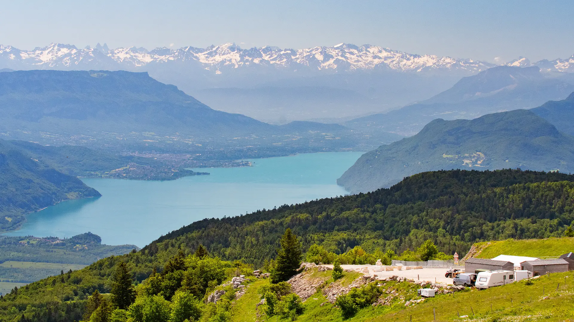
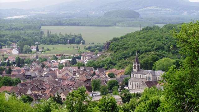
Itinerary with a course in the forest, in alpine pastures and then on the crest line of the Grand Colombier. Exceptional panoramic view of the Alps, the Valromey and the lakes of Geneva, Annecy and Le Bourget.
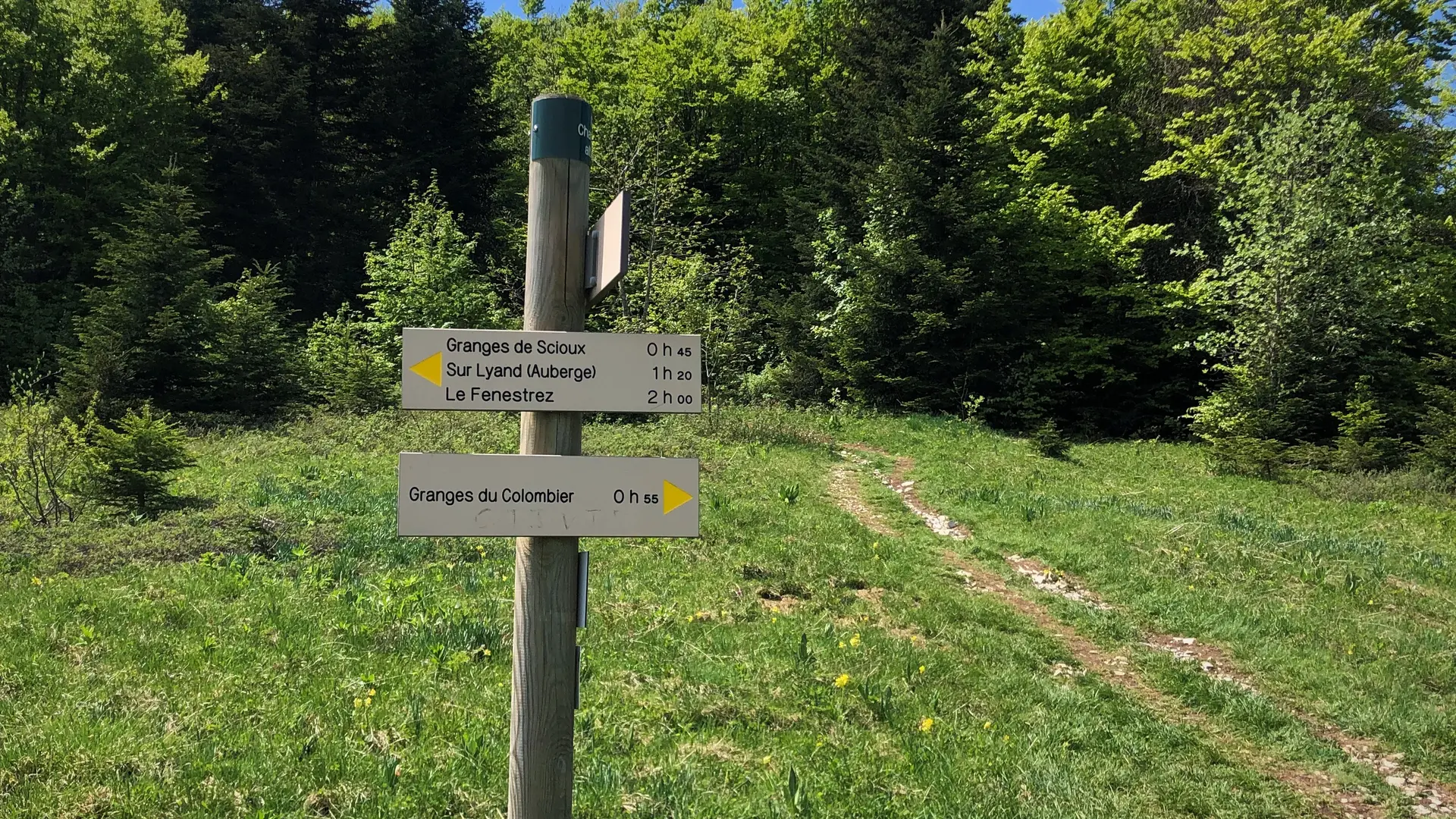
Marking: yellow and white / red (GR9)
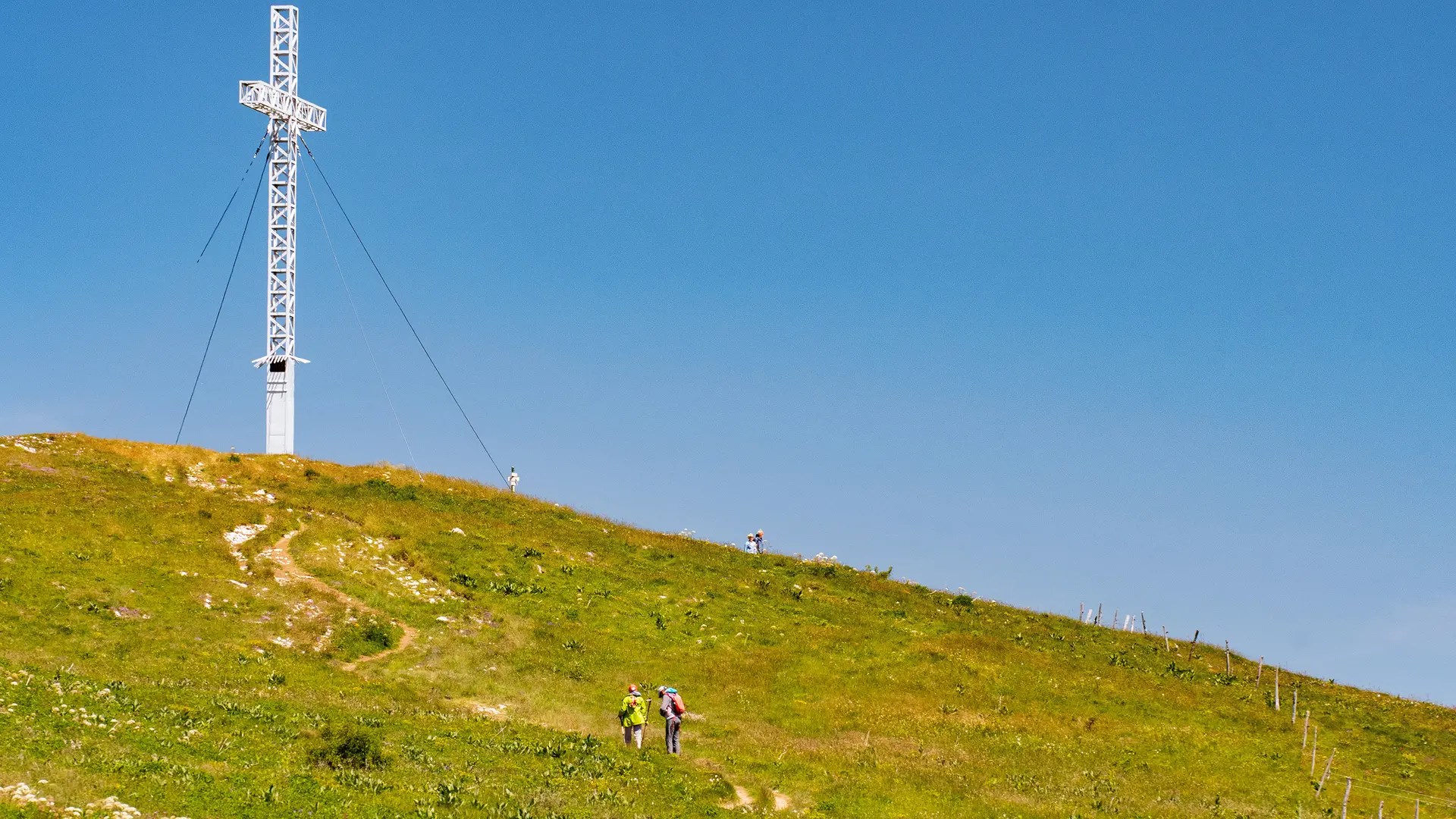
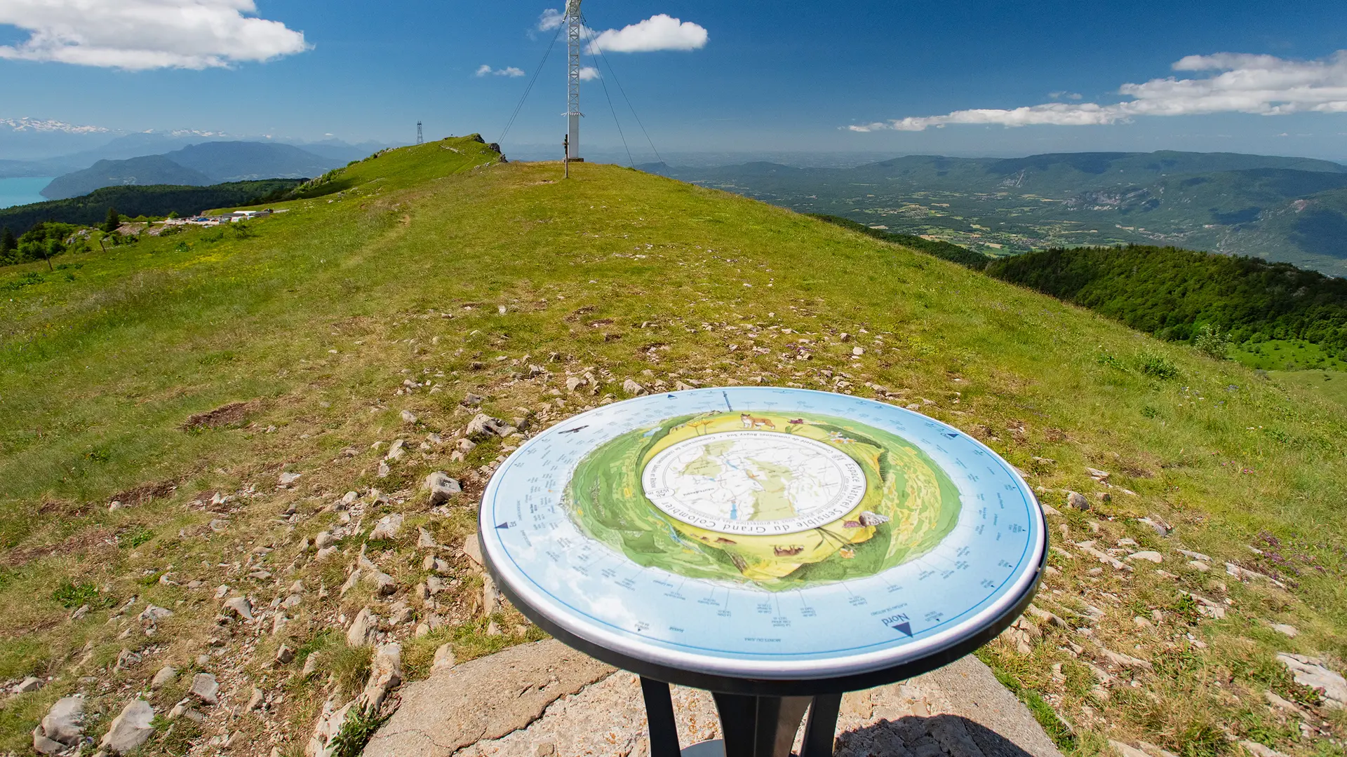
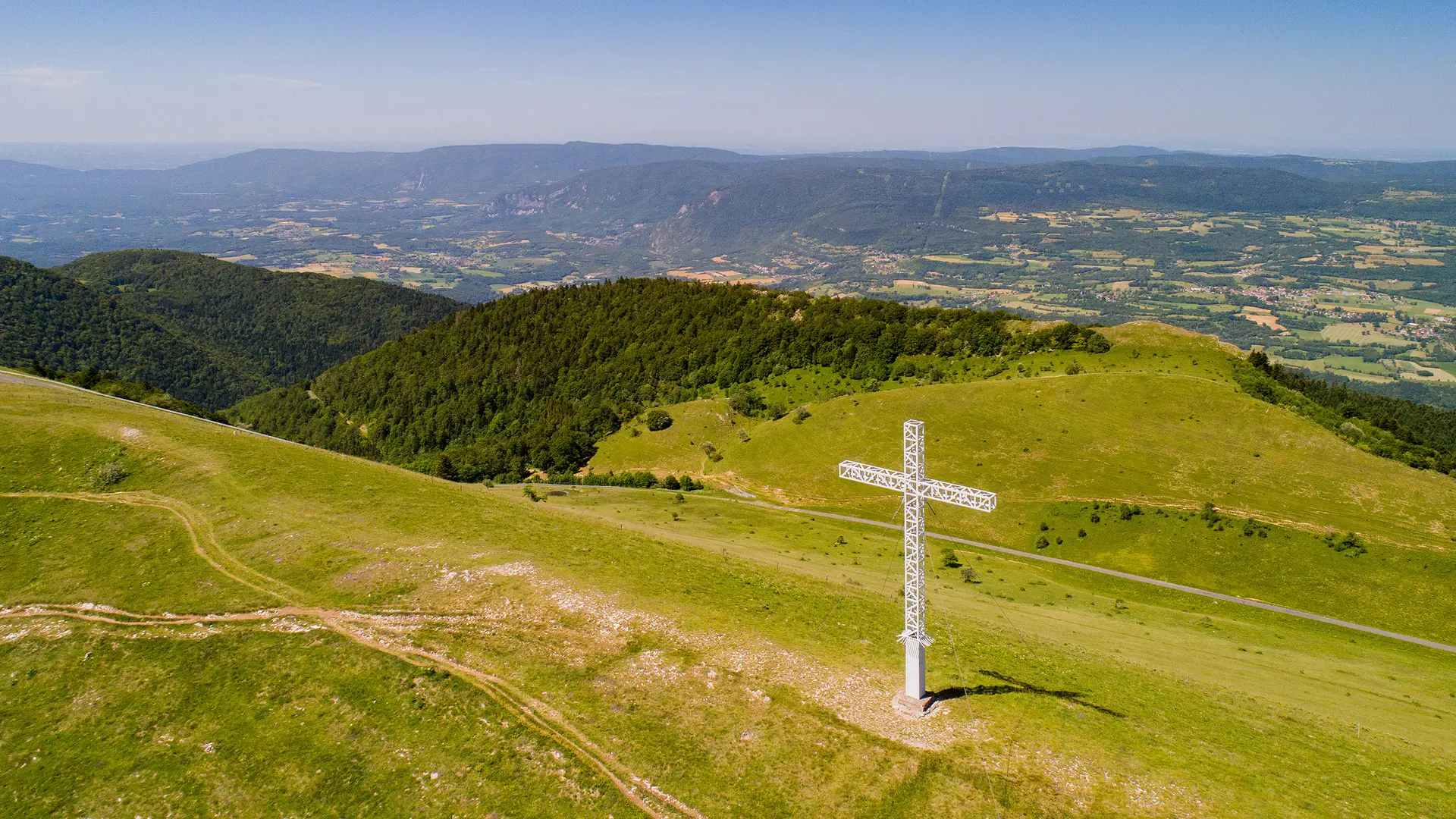
Starting from the Fenestrez parking lot, a few hundred meters from the Fénestrez lookout point, you’ll first hike along the various valleys bordering the Grange des Scioux before ascending to the Col du Grand Colombier via the Col de Charbemènes. You’ll first reach the orientation table beneath the Grand Colombier cross, then the pass, and finally the summit of Grand Colombier by following the ridges.
Trail markings: yellow and white/red (GR9) and stickers with the initials “SX”
Find this hike on the Ain Outdoor platform and free app.
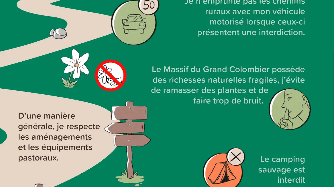
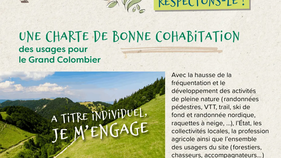
While exploring the Grand Colombier mountain pastures, hikers are asked to behave respectfully toward the herds, shepherds, and the environment.
- Avoid sudden movements around the herds.
- Go around the herds if cows are on the trail.
- Close gates behind you to prevent animals from escaping.
- Respect the shepherd’s cabin by not trespassing on this private property.
- Keep your dog on a leash at all times.
- Leave no trace of your visit, other than footprints.
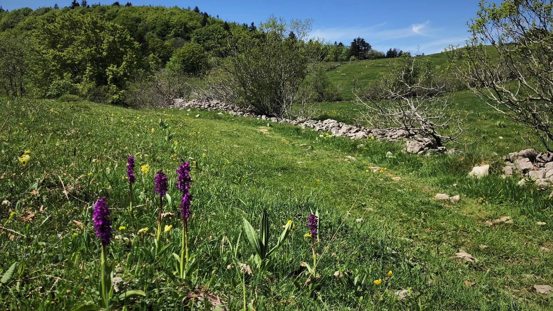
- Do not pick wildflowers.
- Stay on marked trails.
Having a problem on the trail? Visit Suricate: the platform and app for reporting issues https://sentinelles.sportsdenature.fr/