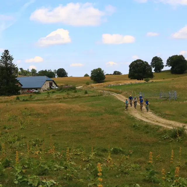
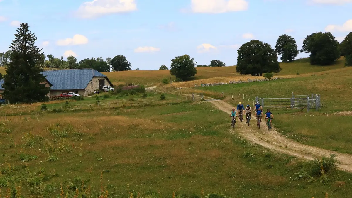
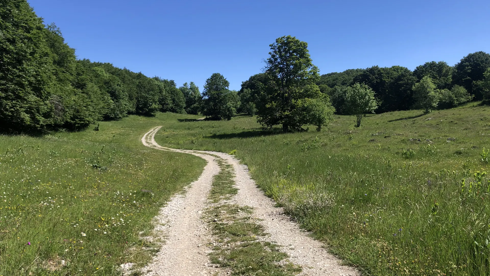
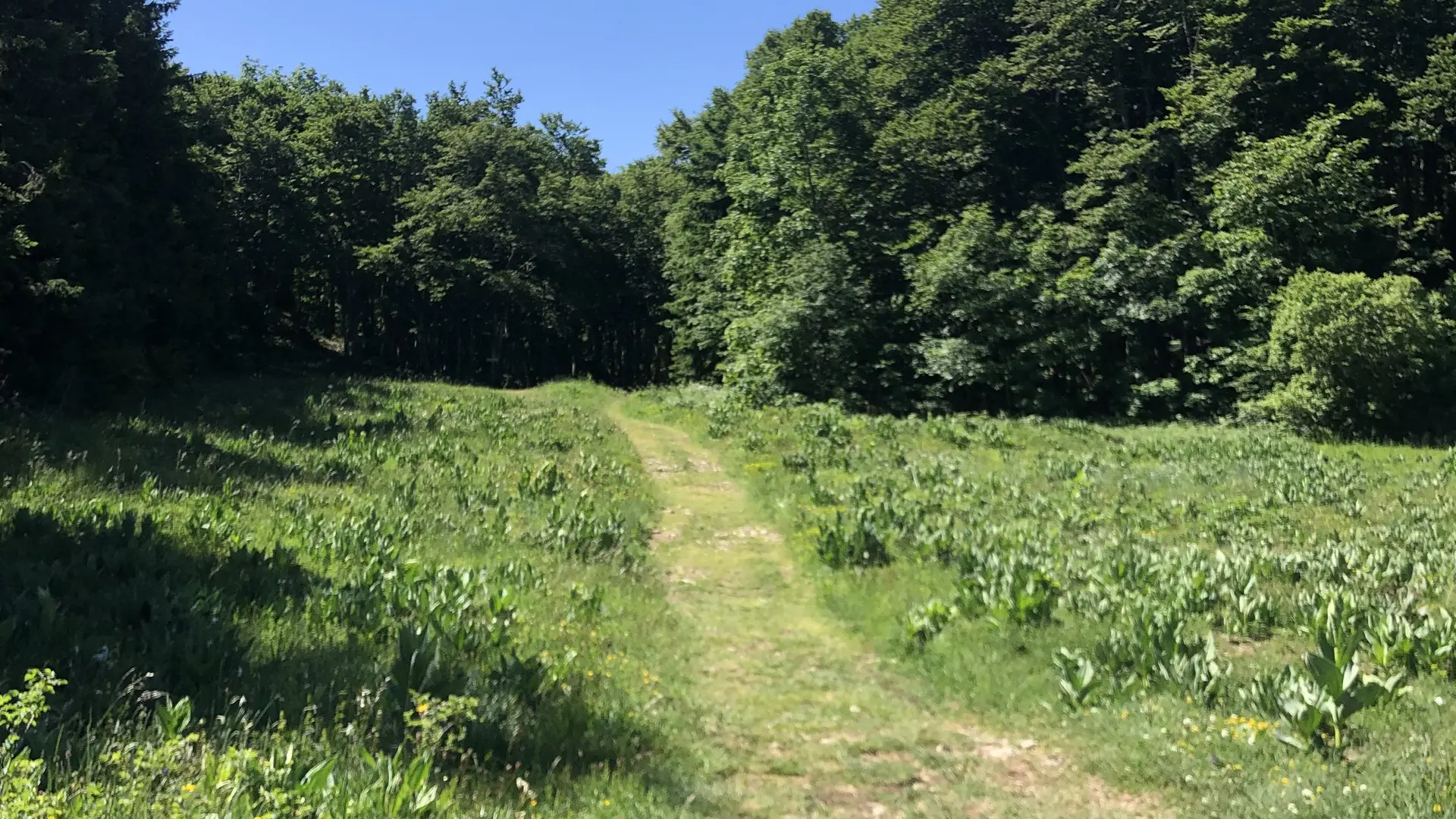
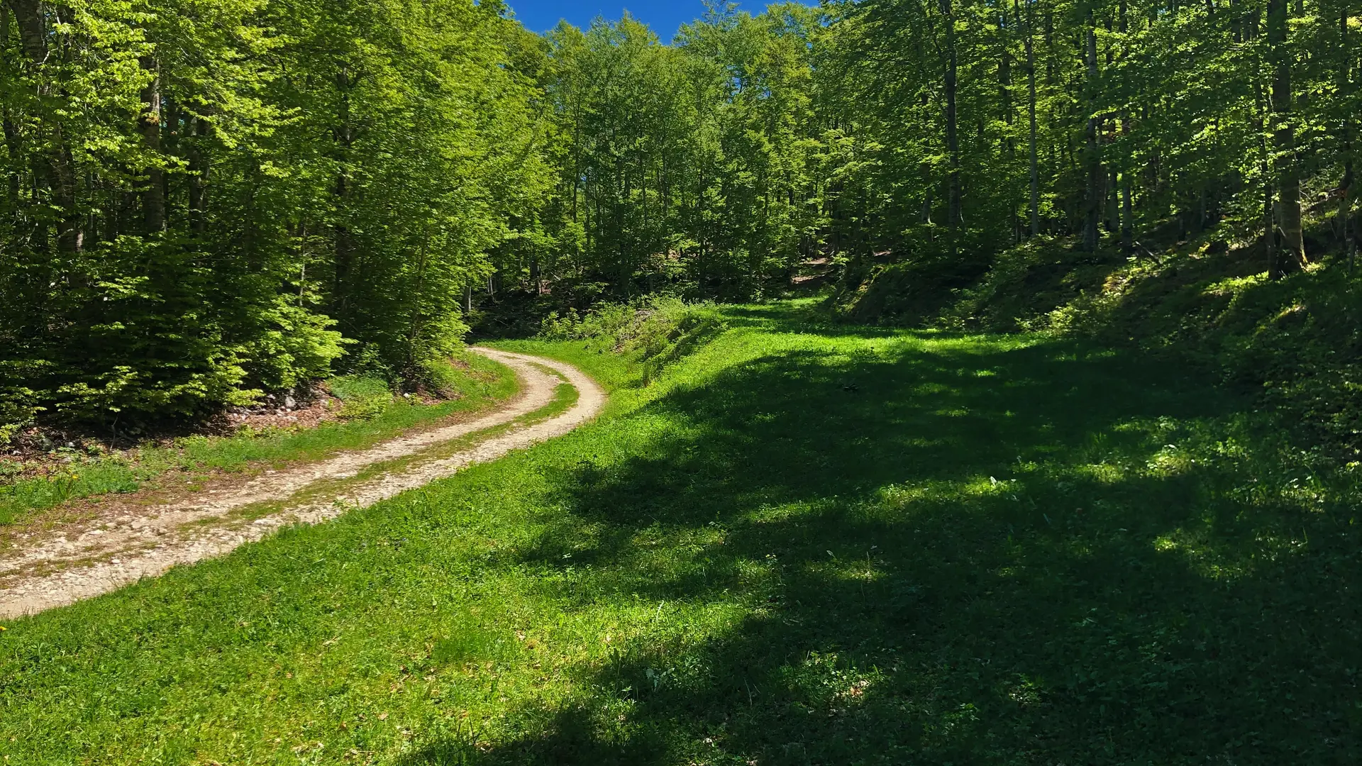
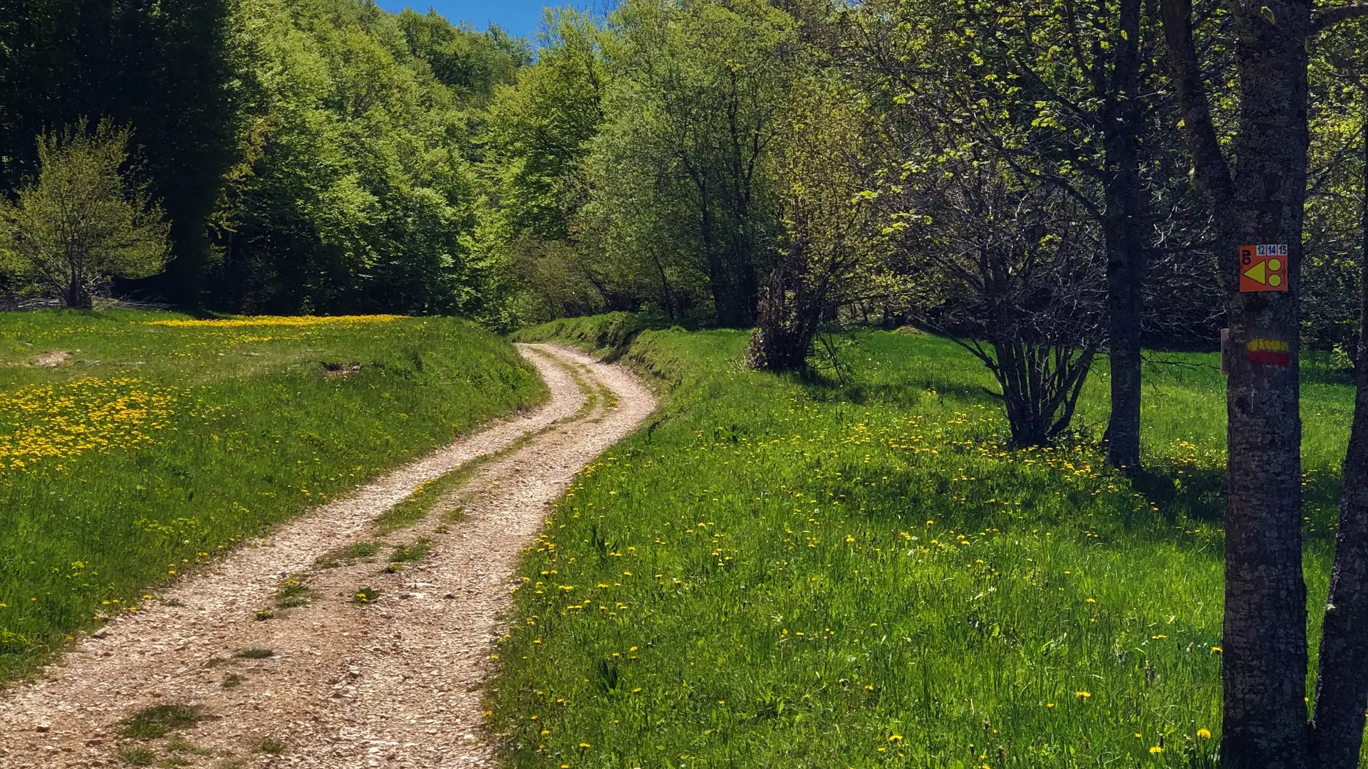
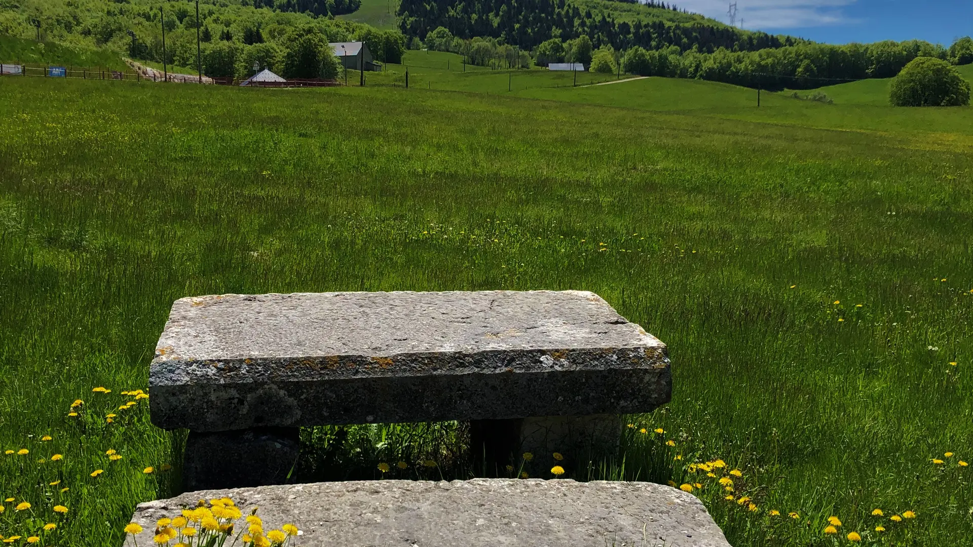
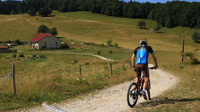
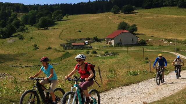
The Plateau de Retord is an out-of-time corner of France, located right between Geneva and Lyon, one step away from Annecy and Chambéry. This wild plateau is known for its beautiful wild flowers, the typical housing architecture and wonderful panoramas on the Alps. The place is ideal to Mountain bike.
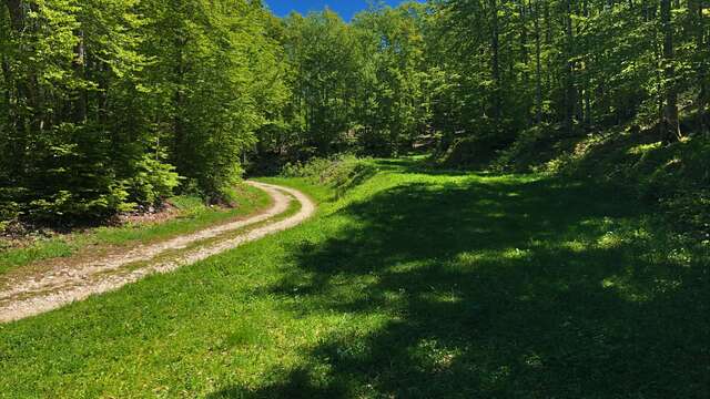
From the resort of Les Plans d'Hotonnes to Lake Lalleyriat, this grand tour du Plateau traverses the vast wilderness of Retord.
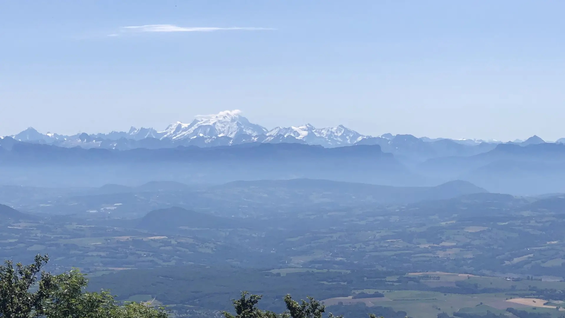
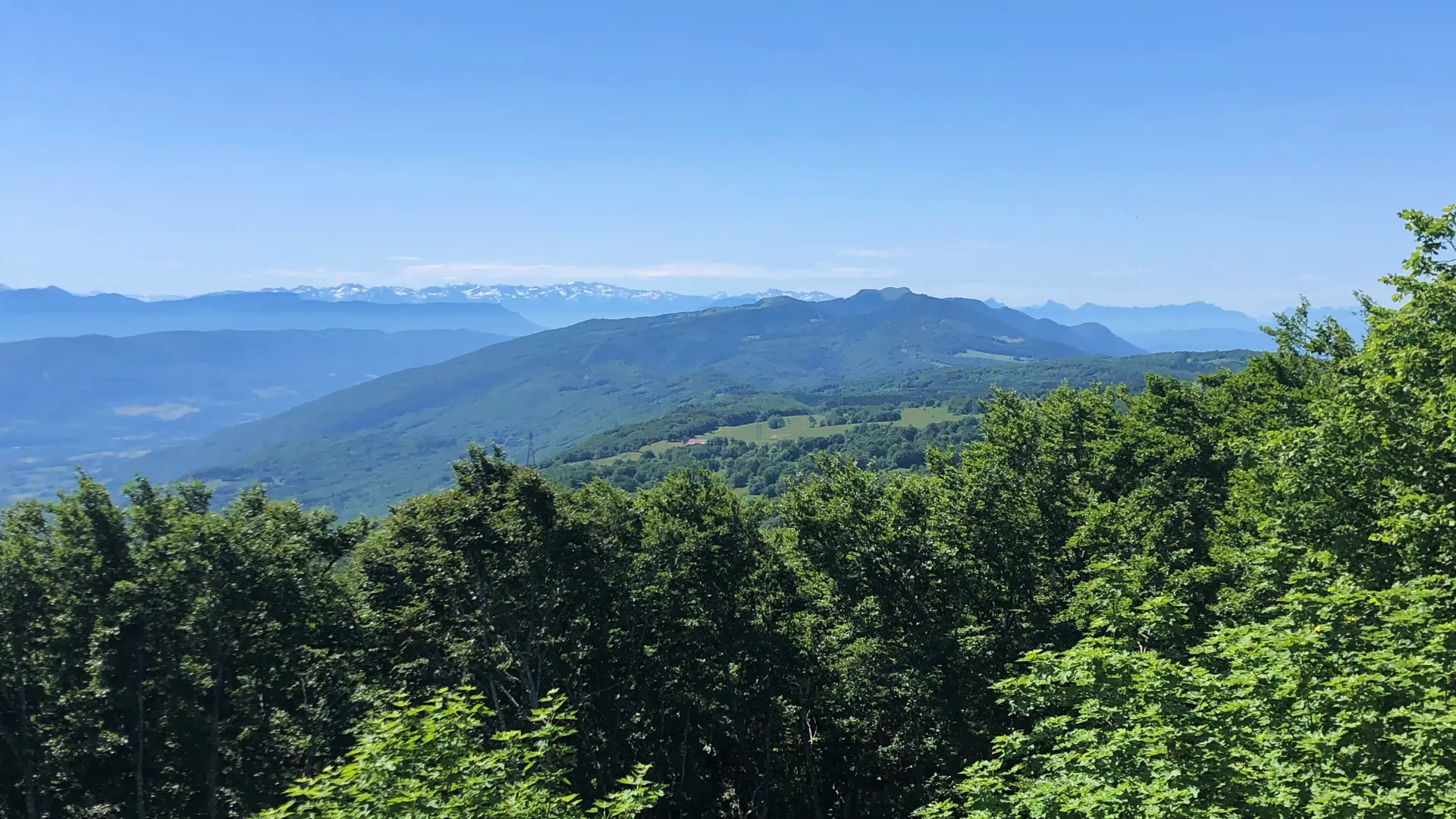
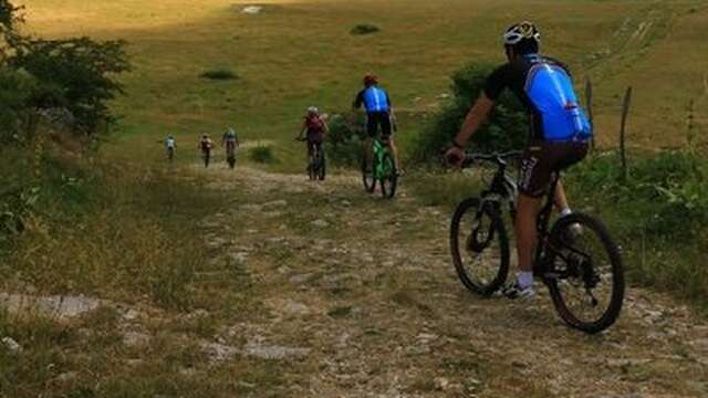
For experienced mountain bikers only, this challenging 60 km route is ideal for a day out. Along the way, you'll find many panoramic views of the Alps. The wide expanses of the Plateau, a paradise for cross-country skiing and snowshoeing in winter, offer a rare spectacle in spring, with its carpet of daffodils, narcissi and other wild flowers as far as the eye can see.
The Les Plans d'Hotonnes sports area caters for all kinds of sporting activities over four seasons. In summer, you can practice biathlon with an instructor, trikke or rollerblading in a safe and privileged learning environment.
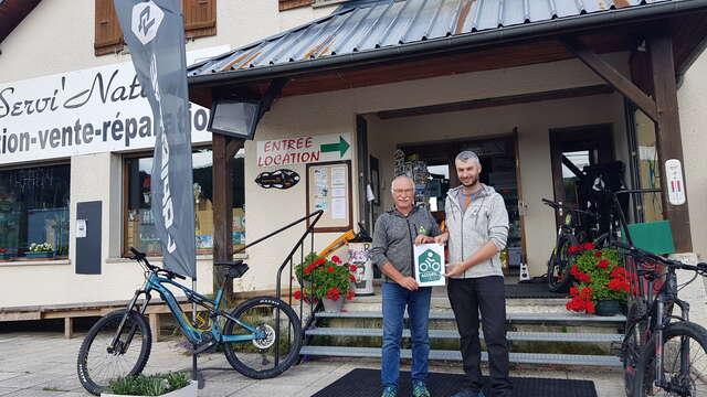
Mountain bikes and eMTBs for hire at Servi'Nature in Les Plans d'Hotonnes.