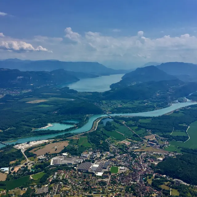
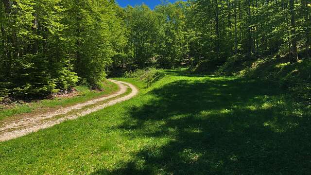
The Plateau de Retord is an out-of-time corner of France, located right between Geneva and Lyon, one step away from Annecy and Chambéry. This wild plateau is known for its beautiful wild flowers, the typical housing architecture and wonderful panoramas on the Alps. The place is ideal to Mountain bike.
Follow the black signs number 16
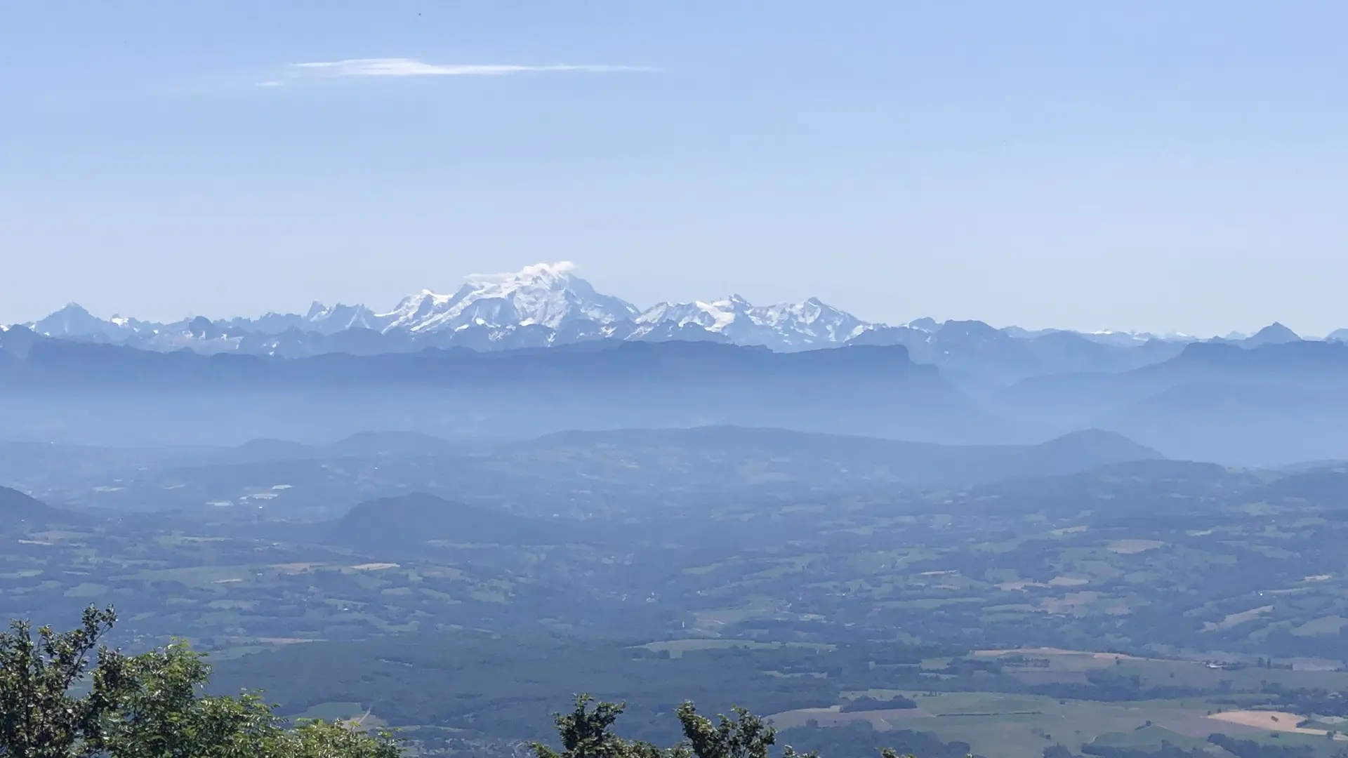
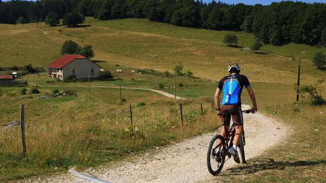
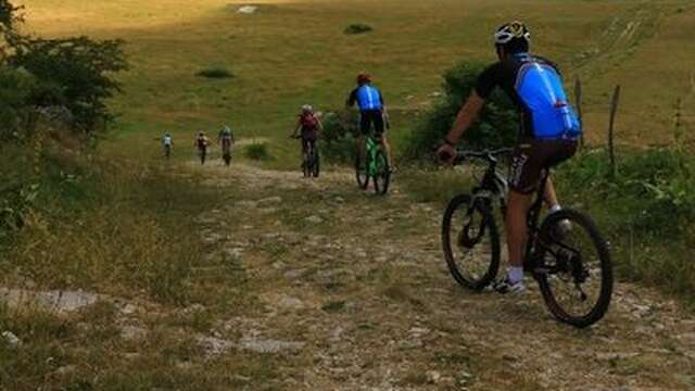
From the Plans d'Hotonnes station to the Fenestrez viewpoint at the southern end of the Jura Massif and the Grand Colombier, this difficult route reserved for experienced mountain bikers offers numerous panoramas of the Alps and Mont Blanc .
This day ride joining the Grand Colombier, a legendary pass well known to cyclists, partly follows one of the Grandes Traversées du Jura, passing near the Richemont passes between the Plateau de Retord and the crests of the Massif du Grand Colombier.
Ski resort in winter, les Plans d'Hotonnes is also famous for its slopes, cross country and snowshoe tracks and the international biathlon centre where you can try your luck on the shooting range at any time of the year.
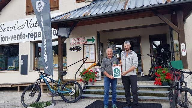
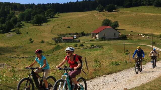
You do not own a bike? Rent your mountain bike, e-bike, at the local rental shop Sports 360 located at the starting point.