Update June/July 2026: due to rockfalls, safety work is underway, and the road from Culoz is closed until September 3rd. The other three roads remain accessible (Anglefort, Virieu-le-Petit, and Lochieu).
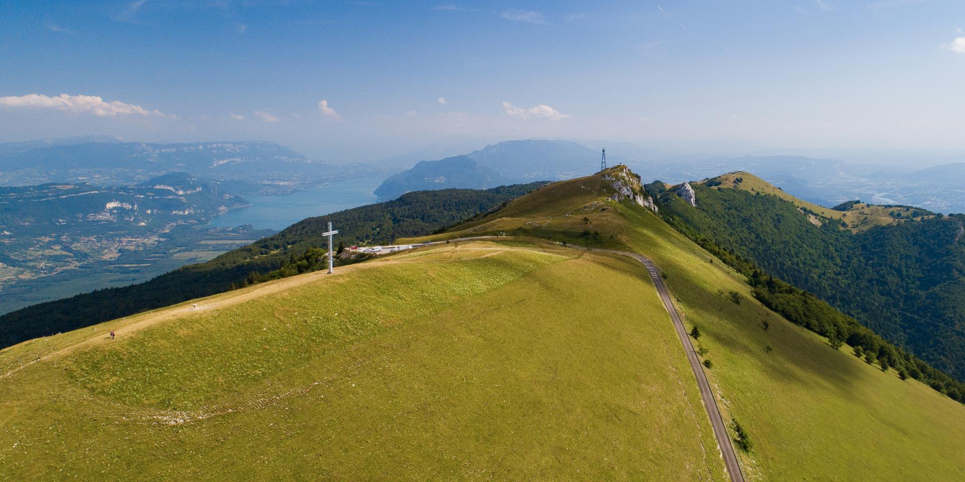
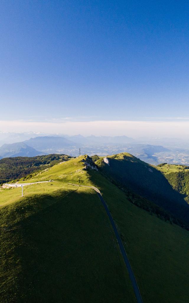
Panorama sur le Grand Colombier
|
Panoramas on the Grand Colombier
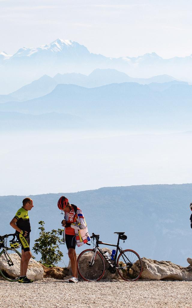
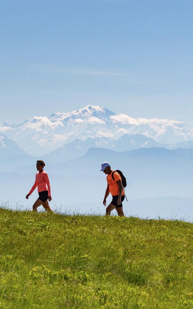
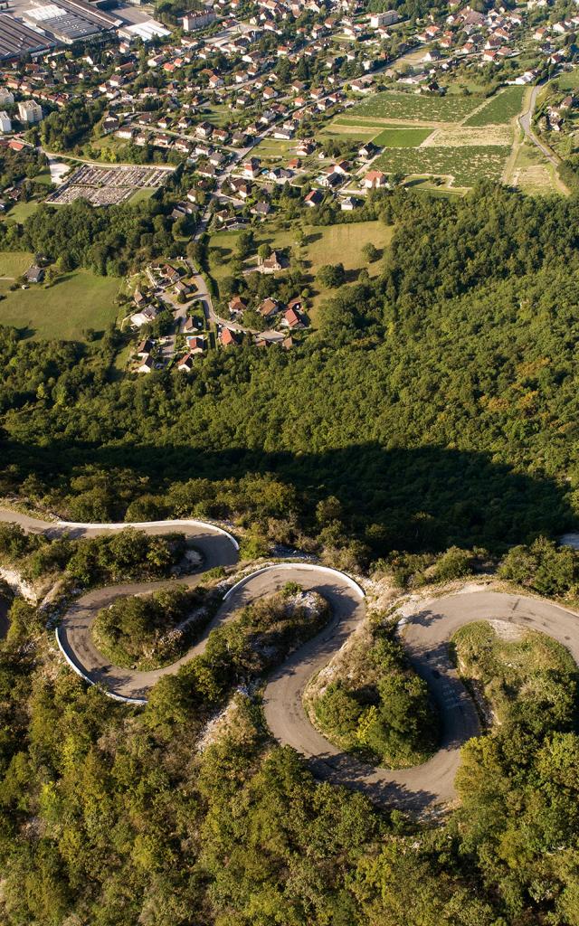
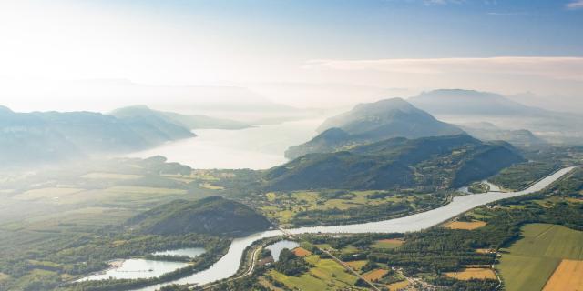
Table d'orientation du Fenestrez au dessus de Culoz sur le Grand Colombier
|
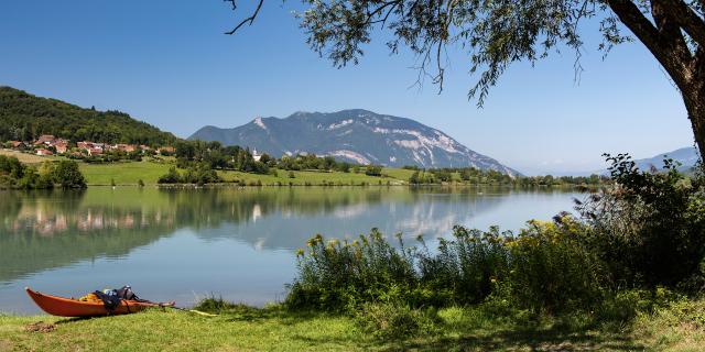
Canoë sur le lac du Lit au Roi à Massignieu de Rives
|
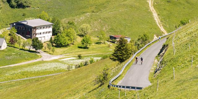
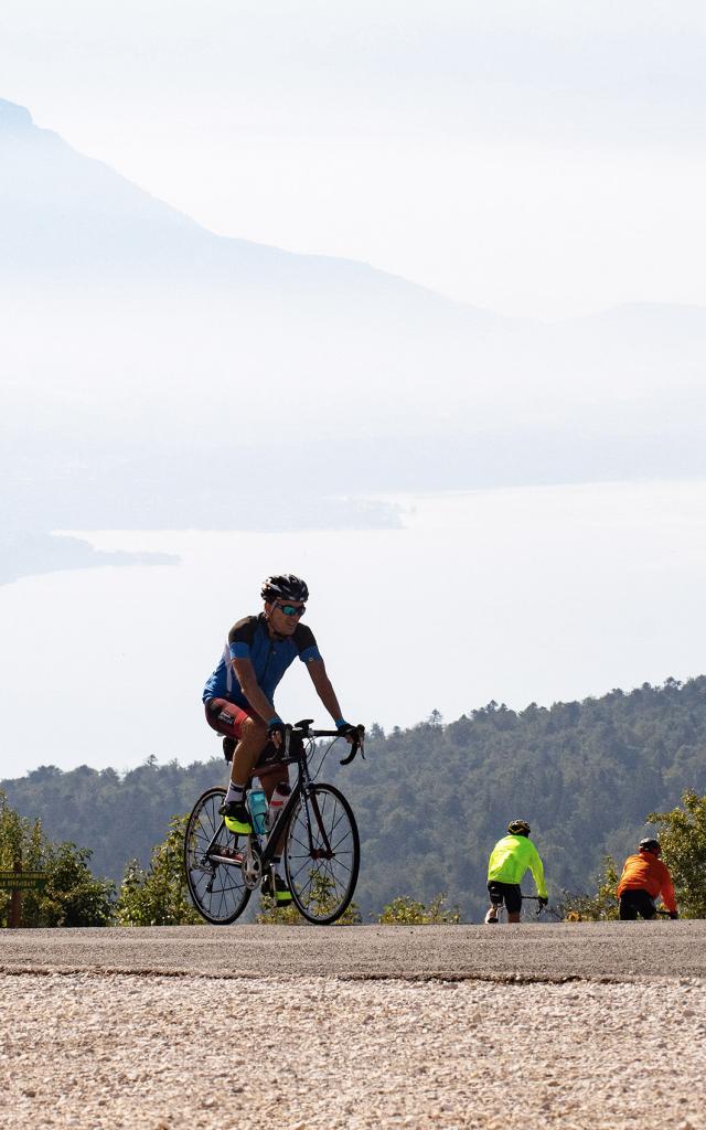
Cyclistes dans les pentes du Grand Colombier côté Valromey
|
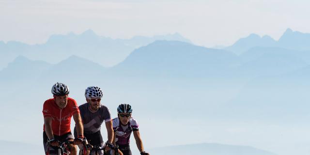
Cyclistes au sommet du col du Grand Colombier lors d'une journée cyclo
|
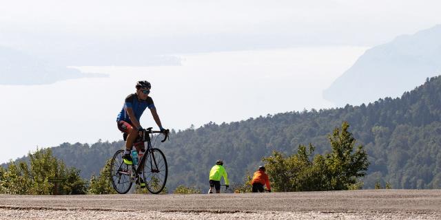
Cycliste dans les pentes du Grand Colombier lors d'une journée cyclo
|
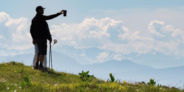
Panorama sur les Alpes depuis le Grand Colombier
|
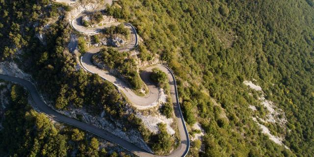
Lacets du Grand Colombier au dessus de Culoz
|
Our little tips!
Let us guide you
Promotional hiking map in Bugey
Download our map and discover 34 of the most beautiful hiking trails in Bugey.
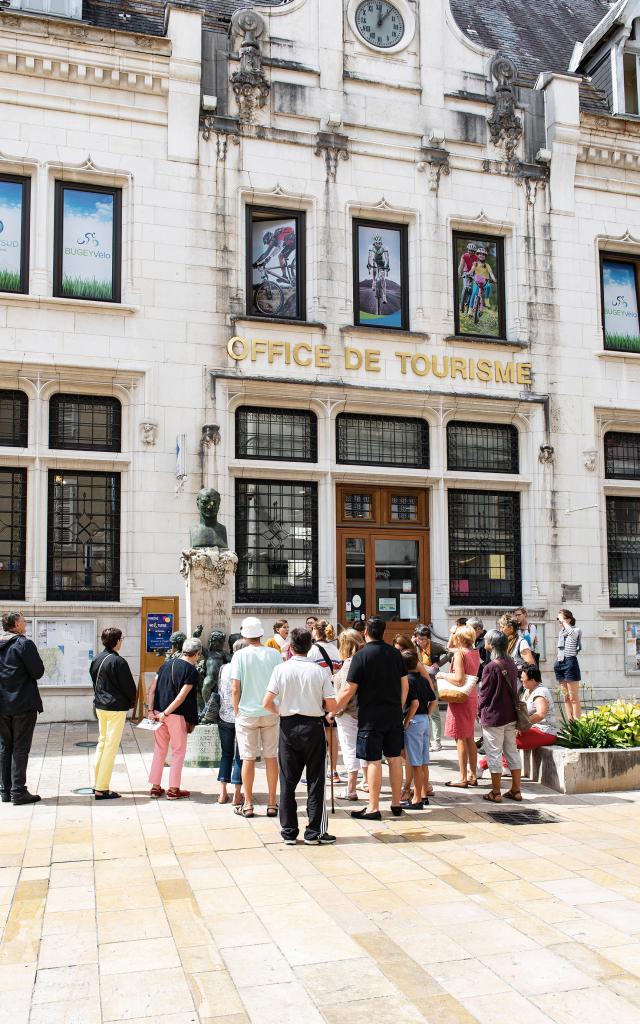
Different hiking maps in the area are on sale at the Tourist Office offices.
Ain-Outdoor,
the application for your outdoor sports outingsDownload the free Ain-Outdoor app on your smartphone and discover the most beautiful hikes in the region. Suitable for all levels, these hikes are downloadable on the app, you will then just have to let yourself be guided by following the chosen route.
Find the hiking, trail and cycling trails and routes on the app and the website ain-outdoor.com.
Everything to organize your stay
















FAQ
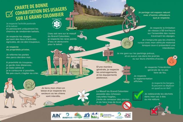
Hike with peace of mind
- What are the opening and closing dates of the Grand Colombier roads?
- Is it possible to park at the top of the Grand Colombier?
- Can we access the Grand Colombier with a campervan?
- Are there toilets and water points on top of Grand Colombier?
- Is camping allowed on the Grand Colombier ?
- What kind of walk can be done at the top of the Grand Colombier?
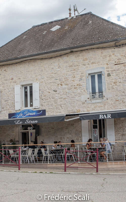
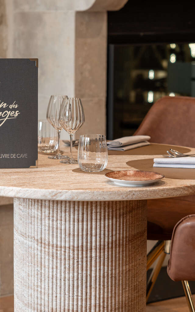
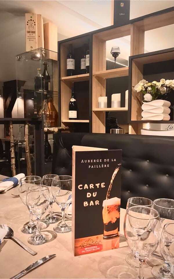
- Are there any restaurants in the Grand Colombier?
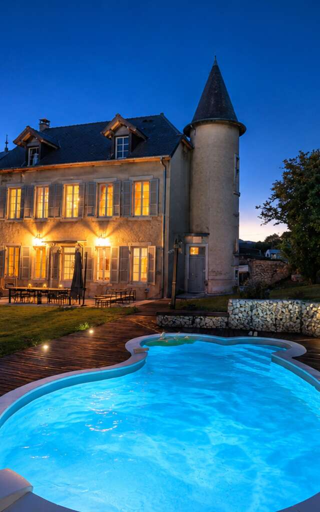
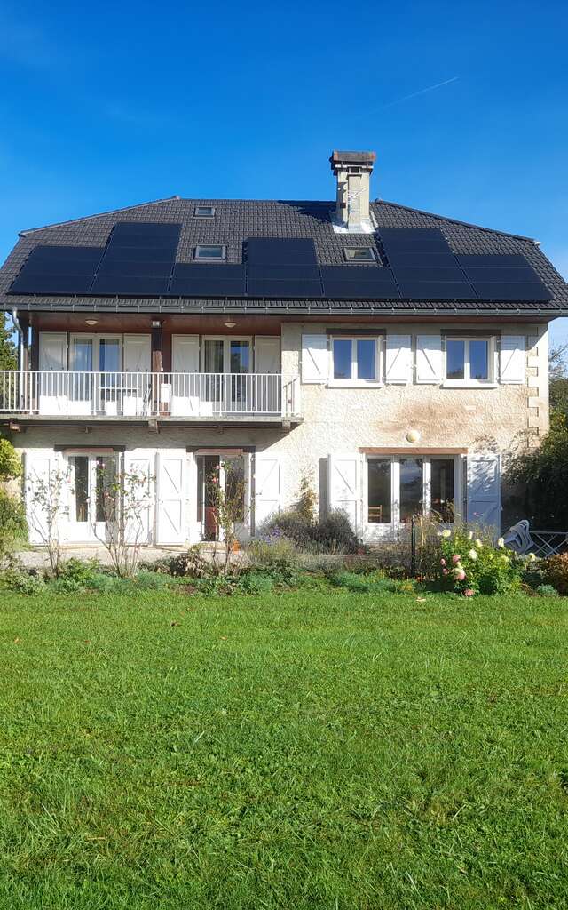
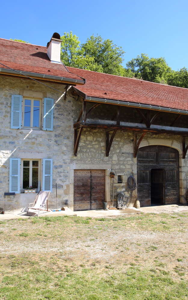
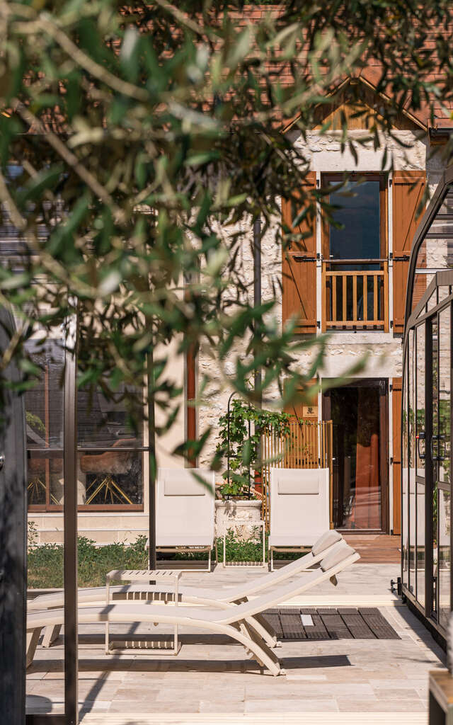
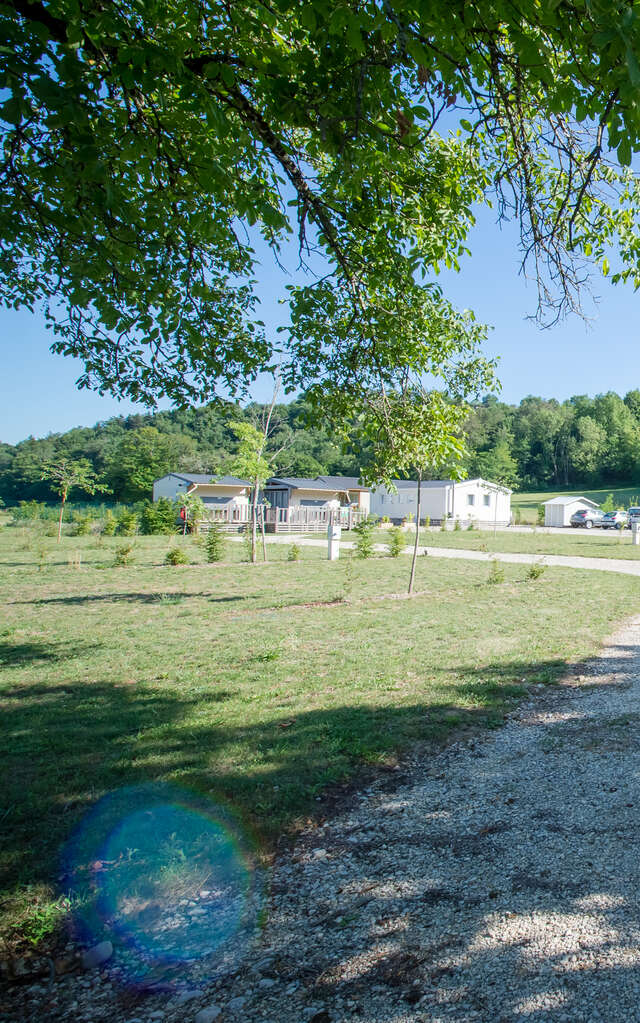
- What accommodations are there on the Grand Colombier?
- Can I walk my dog on the Grand Colombier?
- Is it possible to pick up daffodils on the Grand Colombier?