
See photos (11)
Running trail: Ronde des Plans
Sport, Pedestrian sports, Trail route
in Haut-Valromey
13.1
km
1h 15min
Medium
-
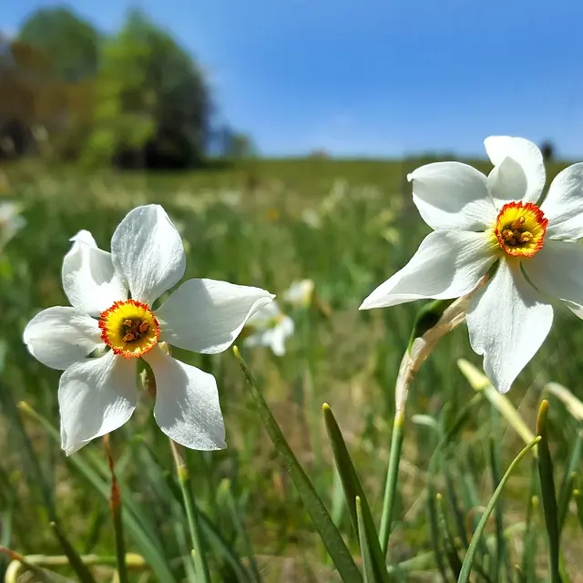
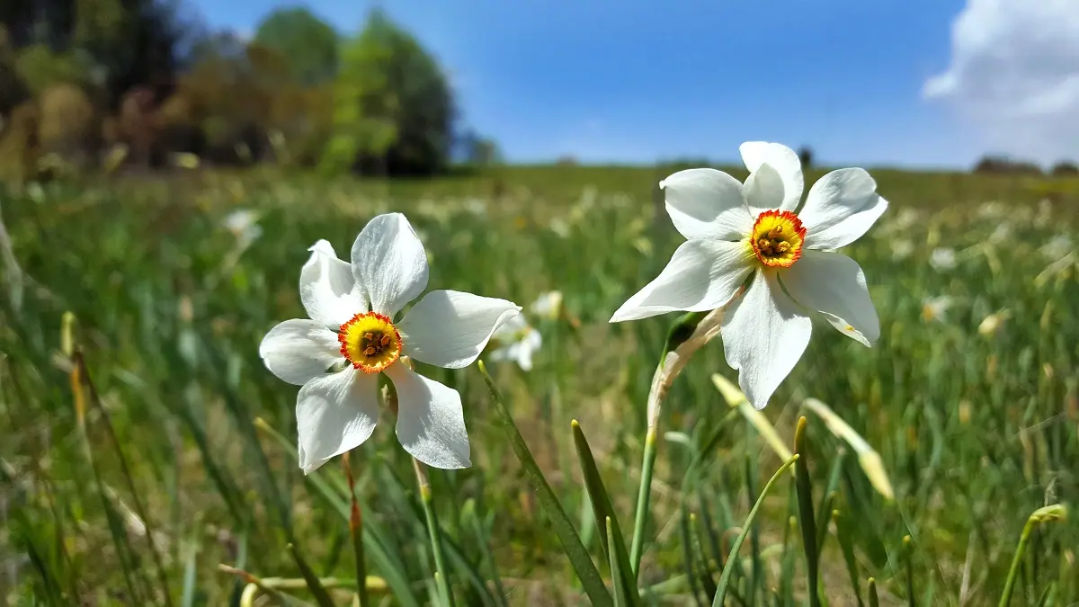
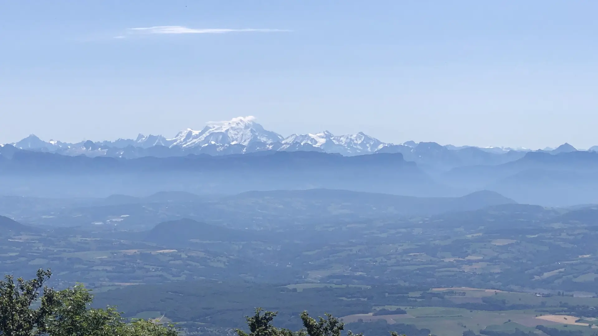
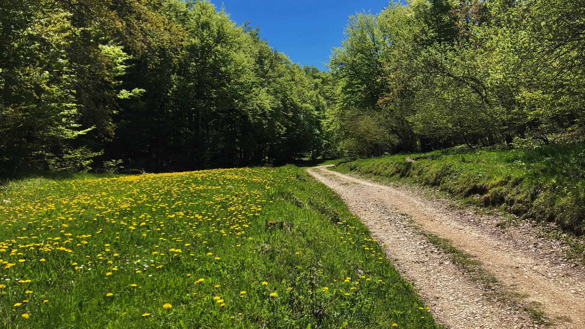
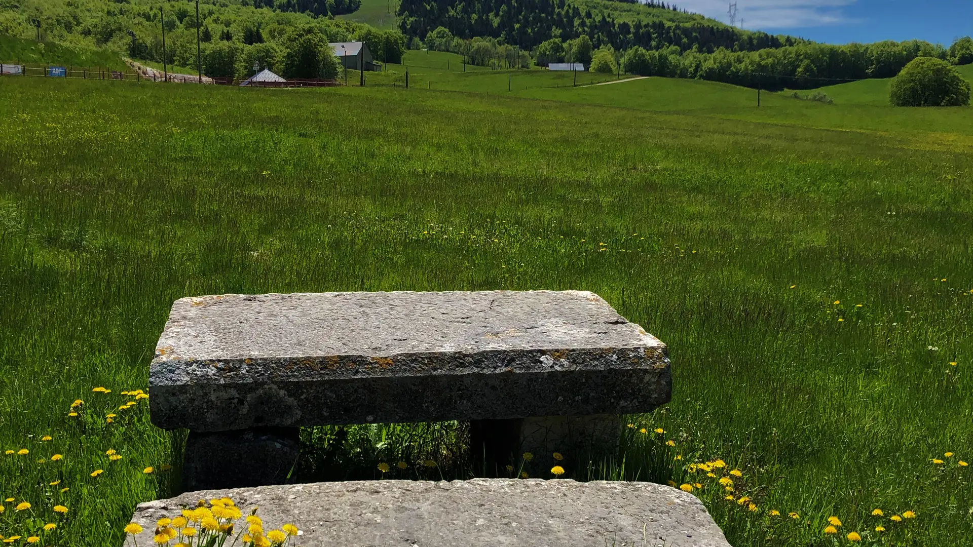
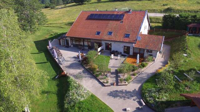
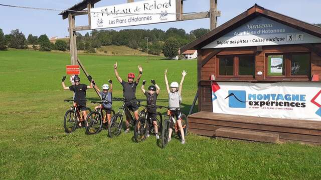
From the ski resort of Les Plans d'Hotonnes, valleys and ridges of the Plateau de Retord, panoramic views of Mont Blanc and the Alps above the Croix des Terments. Fields covered with flowers, daffodils and daffodils in spring.
-
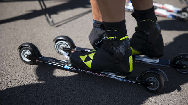
On Xavier Thévenard's native land, find the training trails of the triple winner of the Ultra Trail du Mont Blanc.
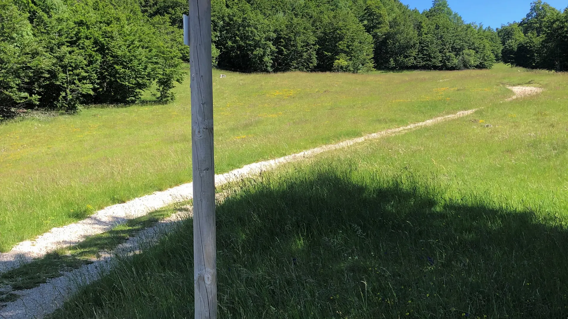
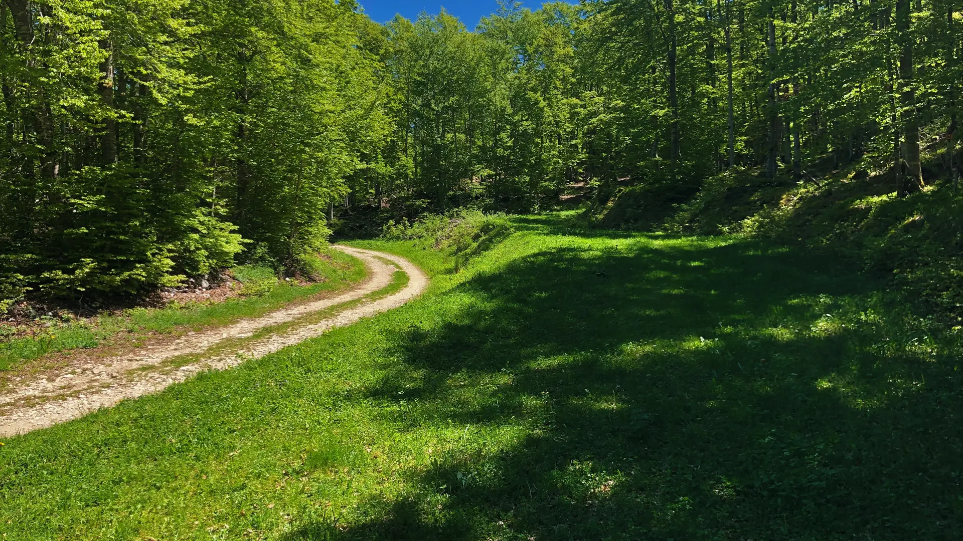
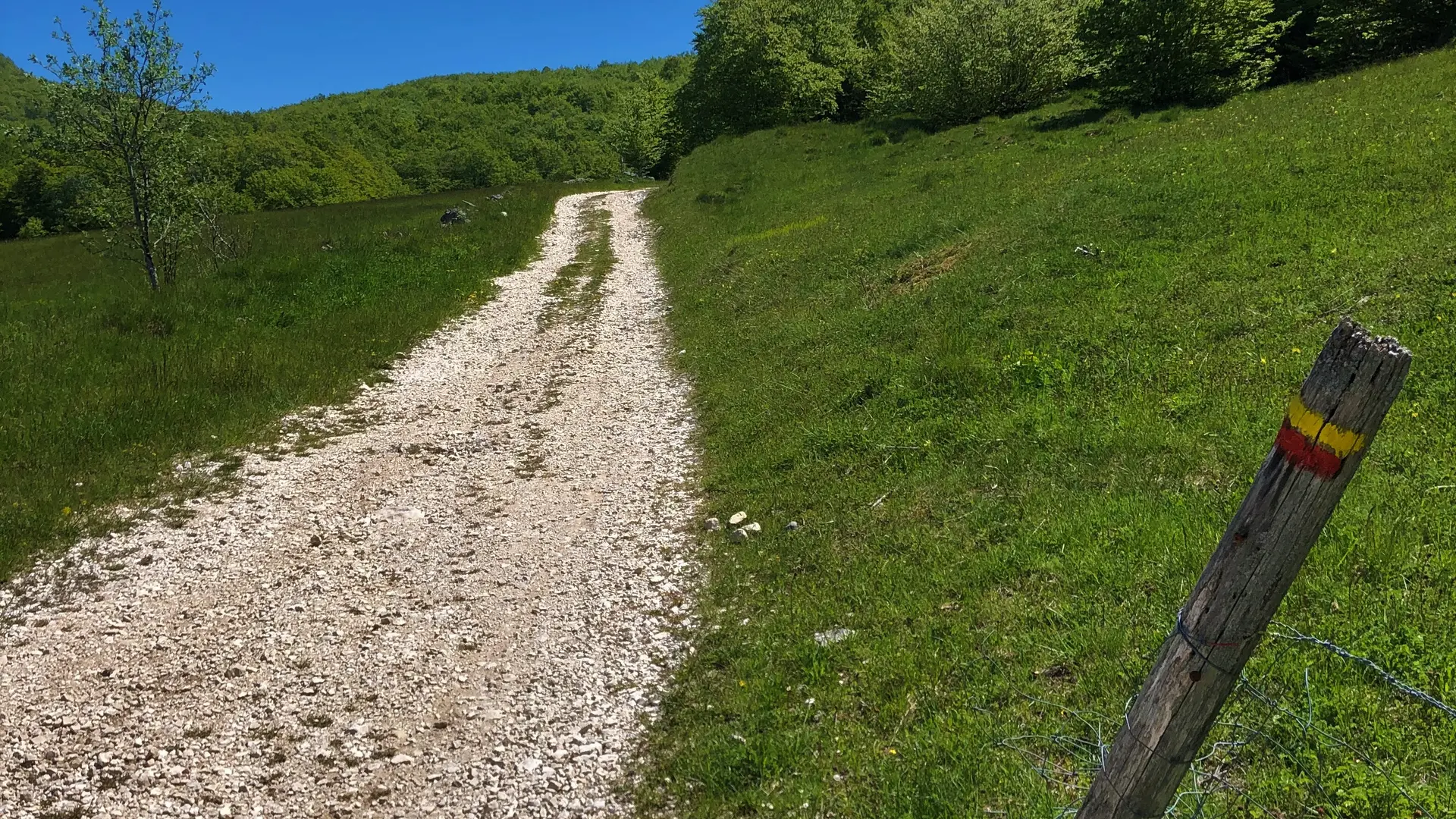
Follow the yellow stickers "RP".
- Departure
- Haut-Valromey
-
-
Difference in height
- 393.571 m
-
-
-
Environment
-
-
-
Spoken languages
-
-
-
Documentation
- GPX / KML files allow you to export the trail of your hike to your GPS (or other navigation tool)
-
- 394 meters of difference in height
-
- Maximum altitude : 1263 m
- Minimum altitude : 1034 m
- Total positive elevation : 394 m
- Total negative elevation : -244 m
- Max positive elevation : 132 m
- Min positive elevation : -95 m