
Road cycling route : Tour de la Charvaz
Sport, Cycling sports, Cycle tourism route
in Belley
78.1
km
4h 15min
Hard
-
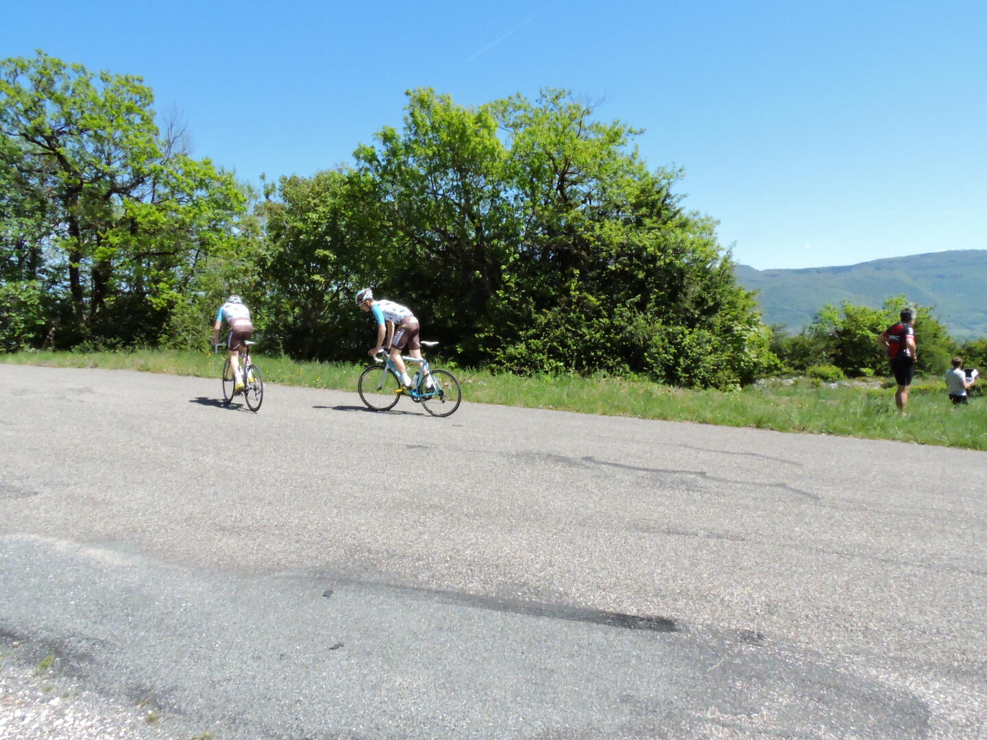
Tour around the mont de la Charvaz and Bourget lake.
-
A possible route to cycle around the Lac du Bourget winding up the wineyards of Jongieux, col du Chat.
(It is also possible to cycle under the mountain in the tunnel du Chat to avoid the climb, the tunnel is only for cyclists and pedestrians).
- Departure
- Belley
-
-
Difference in height
- 1667.33 m
-
-
-
Environment
-
-
-
Documentation
- GPX / KML files allow you to export the trail of your hike to your GPS (or other navigation tool)
-
- 1667 meters of difference in height
-
- Maximum altitude : 665 m
- Minimum altitude : 228 m
- Total positive elevation : 1667 m
- Total negative elevation : -1667 m
- Max positive elevation : 95 m
- Min positive elevation : -185 m
Services
-
-
Equipment
-
-
-
Services
-


")


.")

