
Road cycling loop : La Chambotte
Sport, Cycling sports, Cycle tourism route
in Belley
66.2
km
3h 50min
Hard
-
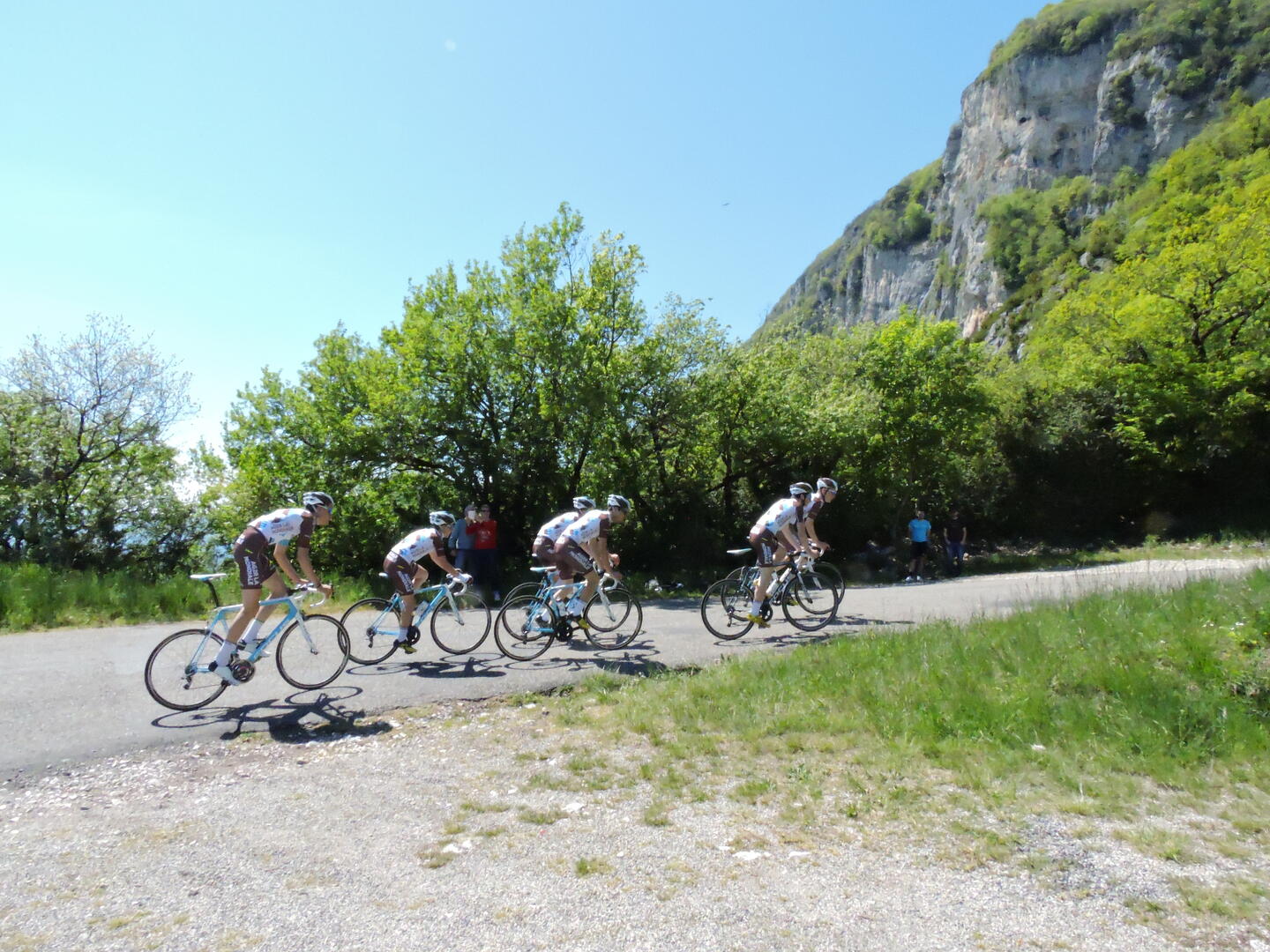
A lovely loop between Ain and Savoie, starting from Culoz. The circuit passes through Chanaz, a charming little village located on the banks of the Savières Canal, the ViaRhôna, Lake Bourget, Aix-les-Bains and the Col de la Chambotte with its remarkable panorama.
-
Departing from Culoz, this cycle route takes you directly to the slopes of the Col de la Chambotte. This demanding climb of approximately 6 km offers one of the most breathtaking views of Lake Bourget. Once past the only hairpin bend on the climb, you'll pass through a short tunnel carved into the rock, located a few hundred meters from the summit of the only difficulty of this route.
This is followed by a gentler descent to Aix-Les-Bains before skirting the majestic Lake Bourget,...Departing from Culoz, this cycle route takes you directly to the slopes of the Col de la Chambotte. This demanding climb of approximately 6 km offers one of the most breathtaking views of Lake Bourget. Once past the only hairpin bend on the climb, you'll pass through a short tunnel carved into the rock, located a few hundred meters from the summit of the only difficulty of this route.
This is followed by a gentler descent to Aix-Les-Bains before skirting the majestic Lake Bourget, following the Savières Canal to the small village of Chanaz, and returning to Culoz, briefly following the ViaRhôna cycle route, which connects Lake Geneva to the Mediterranean.
This loop, approximately 65 km long, offers an elevation gain of 460 meters and is suitable for intermediate to advanced cyclists.
- Departure
- Belley
-
-
Difference in height
- 1450.75 m
-
-
-
Plain text period
- All year round daily.
-
-
-
Environment
-
-
-
Documentation
- GPX / KML files allow you to export the trail of your hike to your GPS (or other navigation tool)
-
- 1451 meters of difference in height
-
- Maximum altitude : 675 m
- Minimum altitude : 233 m
- Total positive elevation : 1451 m
- Total negative elevation : -1451 m
- Max positive elevation : 157 m
- Min positive elevation : -246 m
Services
-
-
Equipment
-
-
-
Services
-


")


.")