
Multyday mountainbiking loop around Grand Colombier : day 2 La Praille - Les Plans d'Hotonnes
Sport, Cycling sports, Mountain biking itinerary
in Plateau d'Hauteville
25.6
km
3h
Hard
-
Day 2 of the southern loop of the Grande Traversée du Jura on Mountain bike from La Praille to Les Plans d'Hotonnes.
-
With a length of almost 27 km, this second stage is the easiest of the three following a hilly route between 3 northern sites of Ain: La Praille, Lachat and Plans d'Hotonnes.
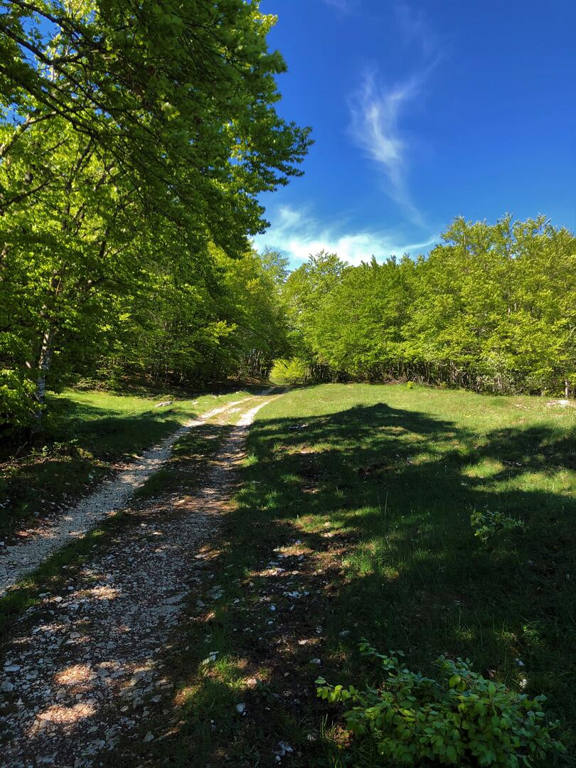
Through the forests and ridges of Bugey, this stage will take you from the forests of the Plateau d'Hauteville to the large expanses of the Plateau de Retord.
Day 1 : Culoz > La Praille (32 km)
Day 2 : La Praille > Les Plans d'Hotonnes (27 km)
Day 3 : Les Plans d'Hotonnes > Culoz (35km)
- Departure
- Plateau d'Hauteville
-
-
Difference in height
- 537.926 m
-
-
-
Environment
-
-
-
Documentation
- GPX / KML files allow you to export the trail of your hike to your GPS (or other navigation tool)
-
- 538 meters of difference in height
-
- Maximum altitude : 1161 m
- Minimum altitude : 887 m
- Total positive elevation : 538 m
- Total negative elevation : -583 m
- Max positive elevation : 190 m
- Min positive elevation : -167 m
Services
-
-
Equipment
-
-
-
Services
-