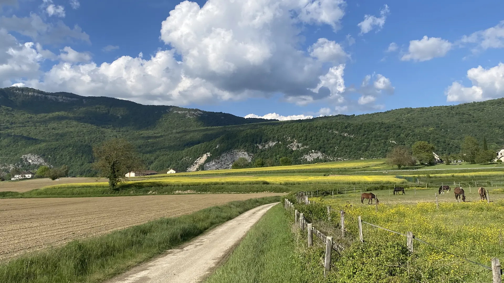
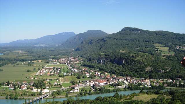
Hiking tour from the church square in Groslée with beautiful views of the Rhône river.
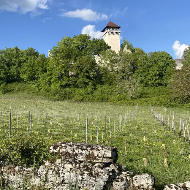
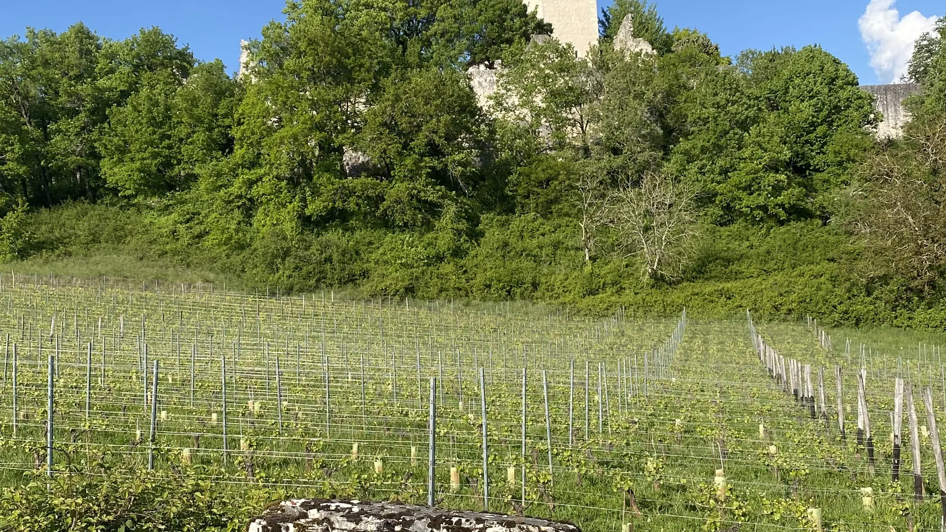
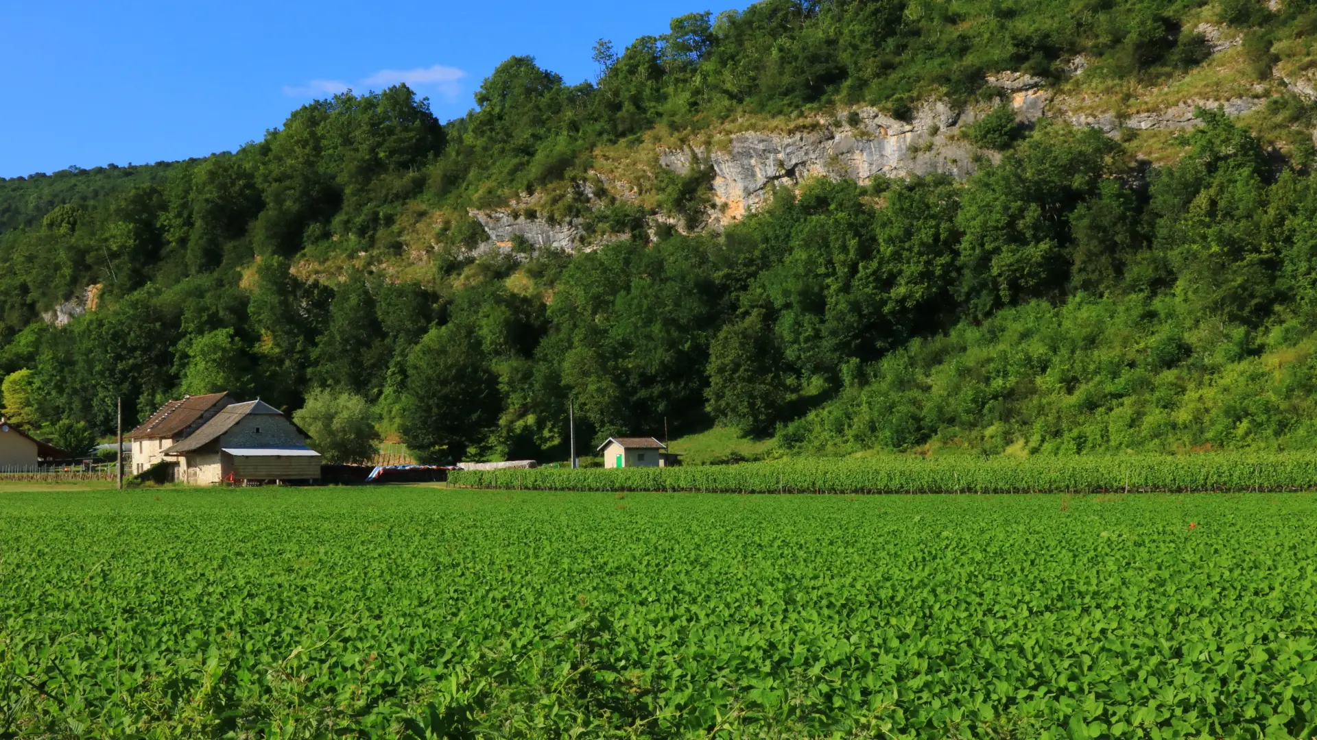
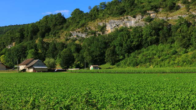
An easy walk through vineyards and the historical heritage of the southern Bugey massif.
Discover along the way:
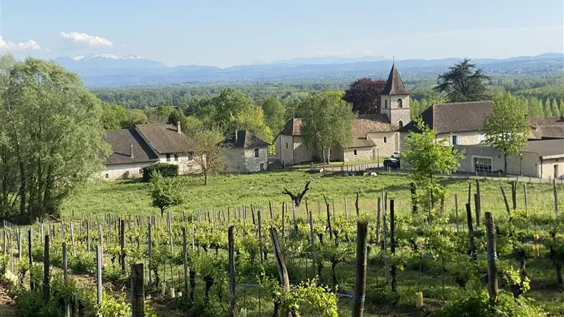
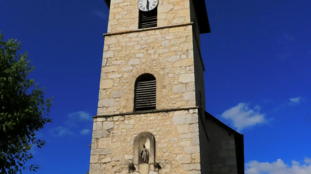
- the historical heritage of the village of Groslée: including its castle (private, not open to the public) and its characteristic houses.
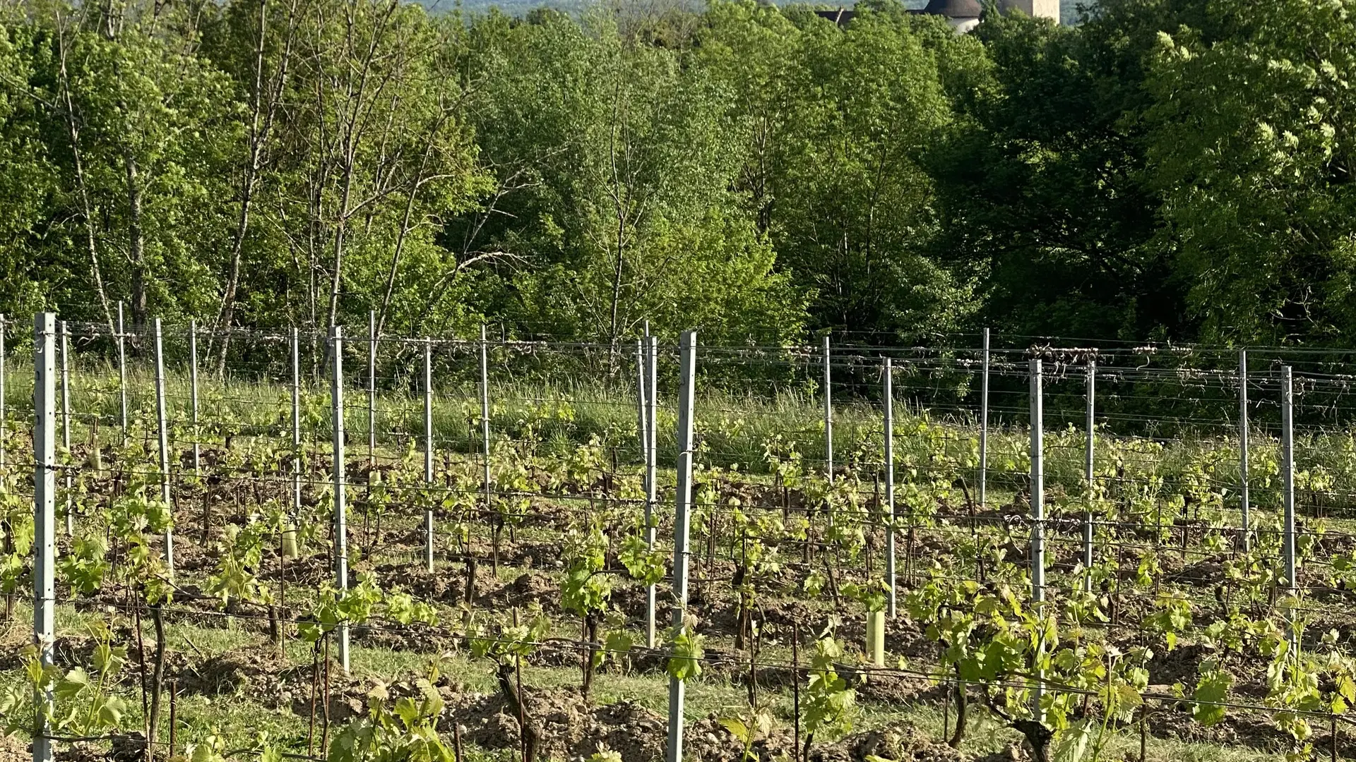
- the vineyards of Groslée.
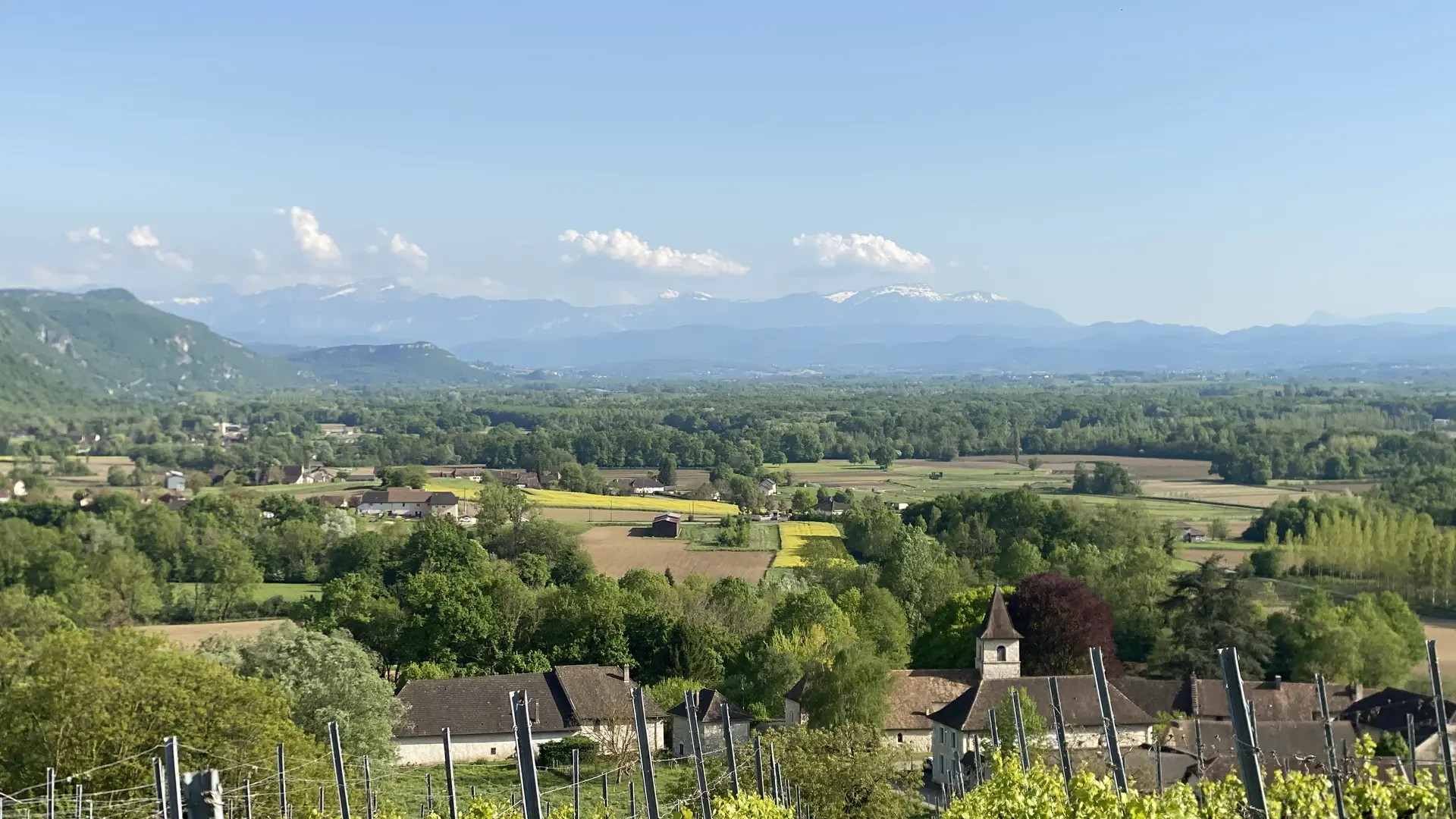
- panoramic views of the Rhône Valley plain, the Chartreuse massif, and the Vercors.
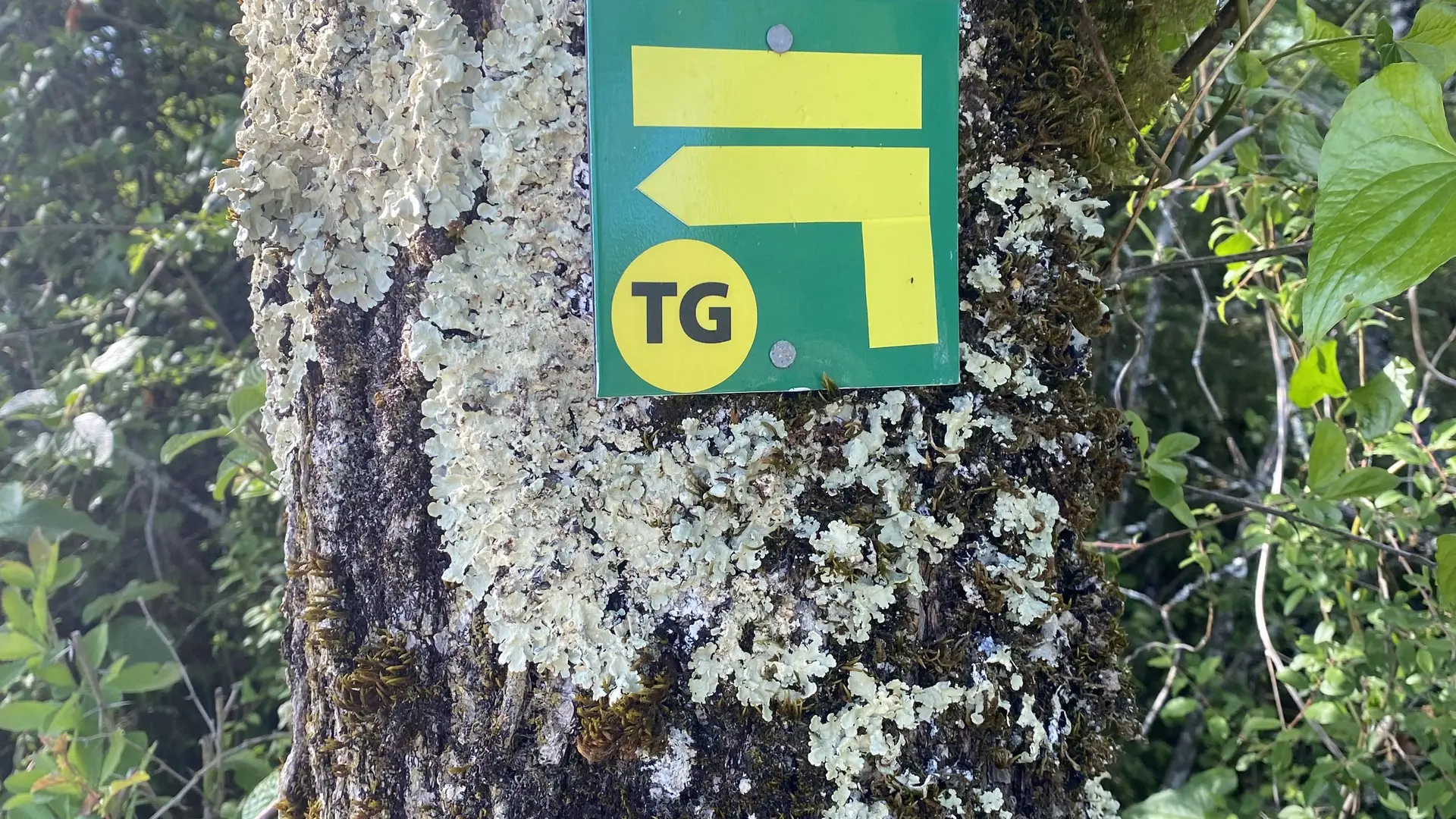
Follow the stickers "TG"