See photos (22)

Hike of the Grand Colombier starting from Munet

Sport, Pedestrian sports, Hiking itinerary in Arvière-en-Valromey
15.9 km
7h
Hard
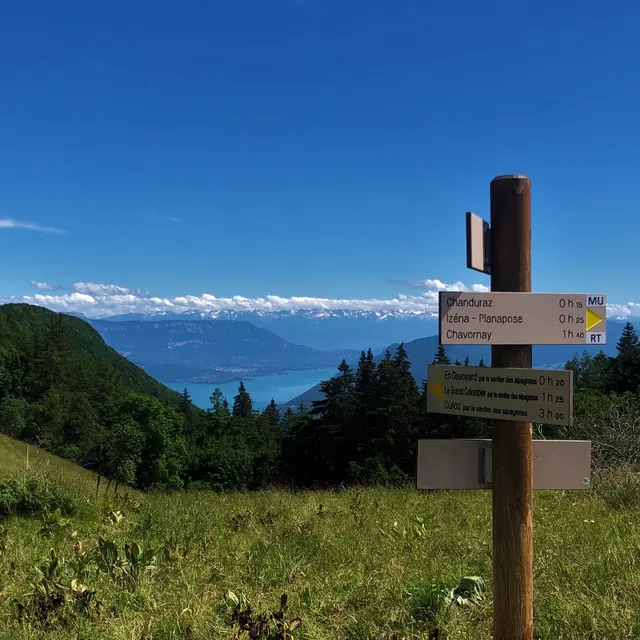
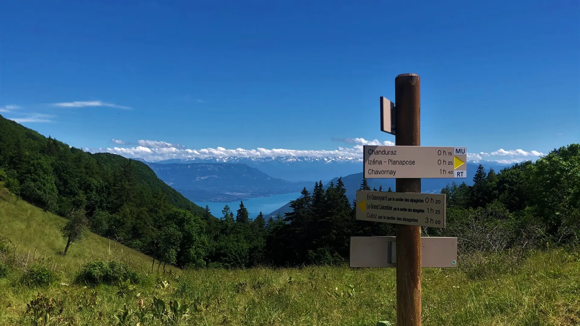
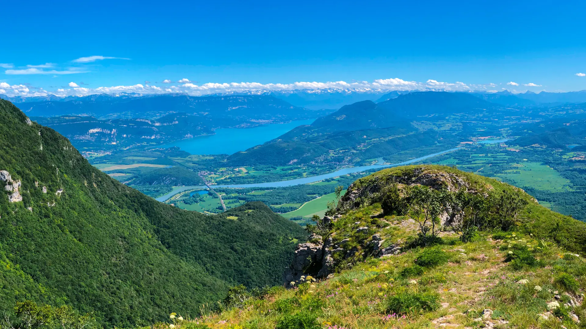
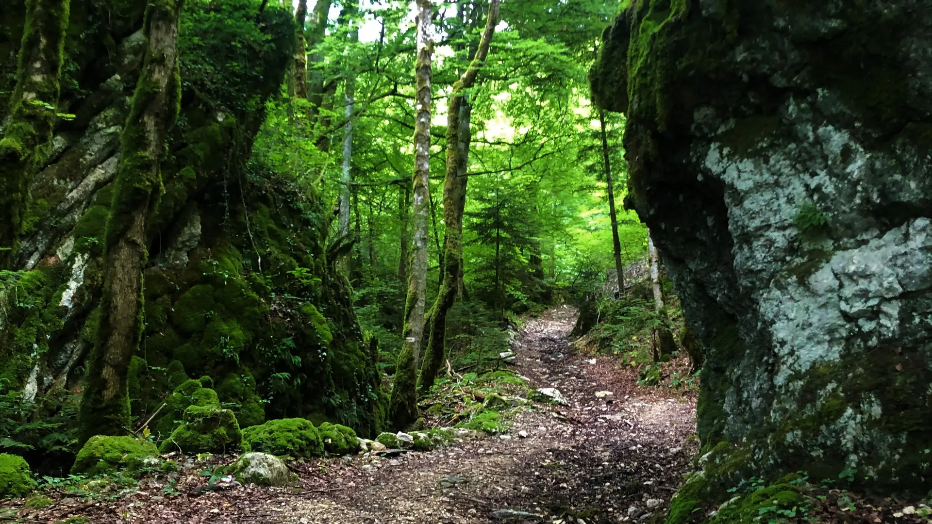
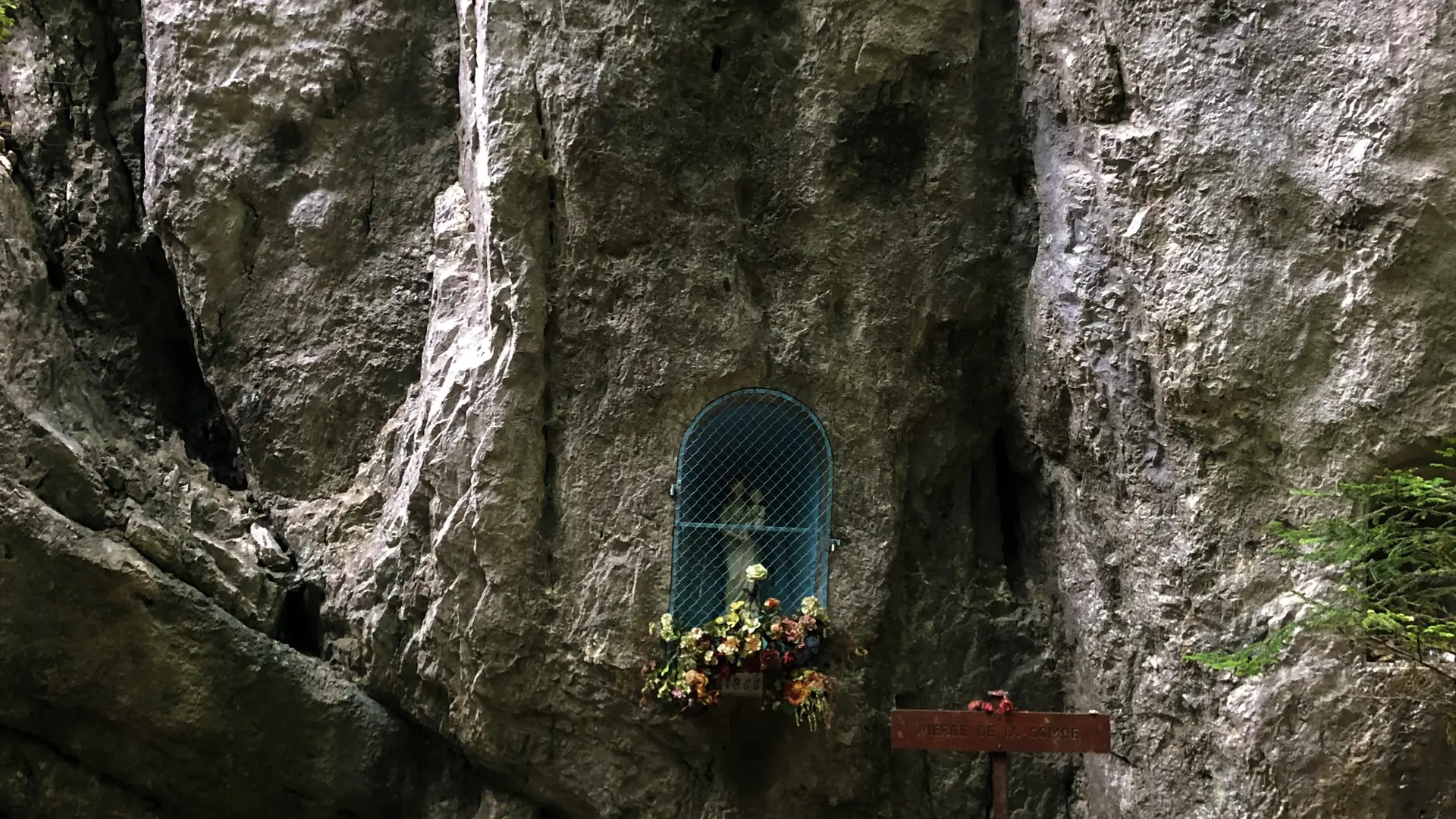
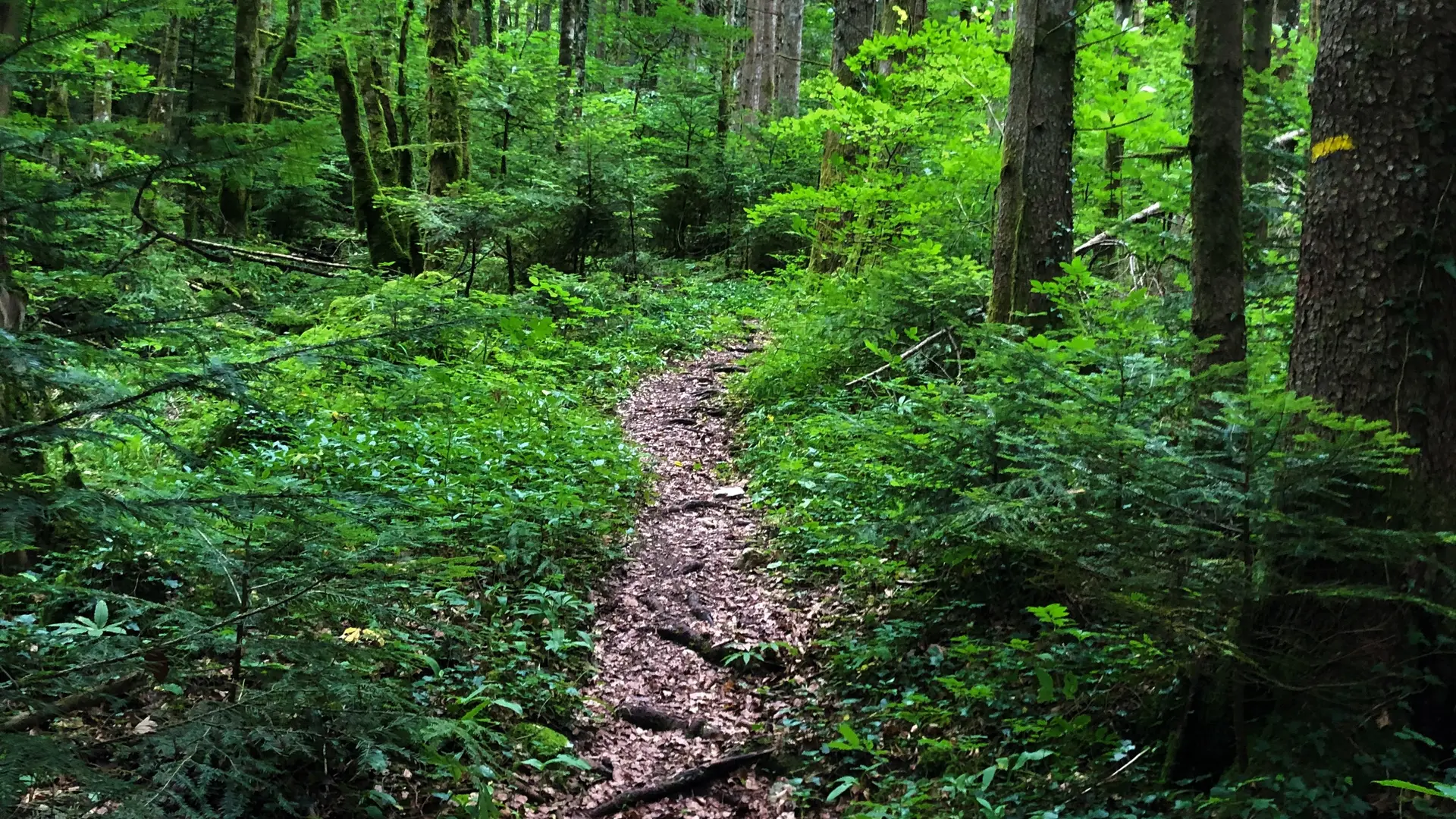
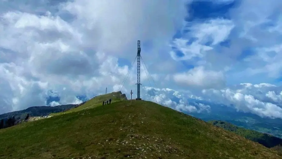
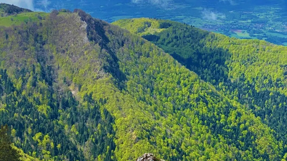
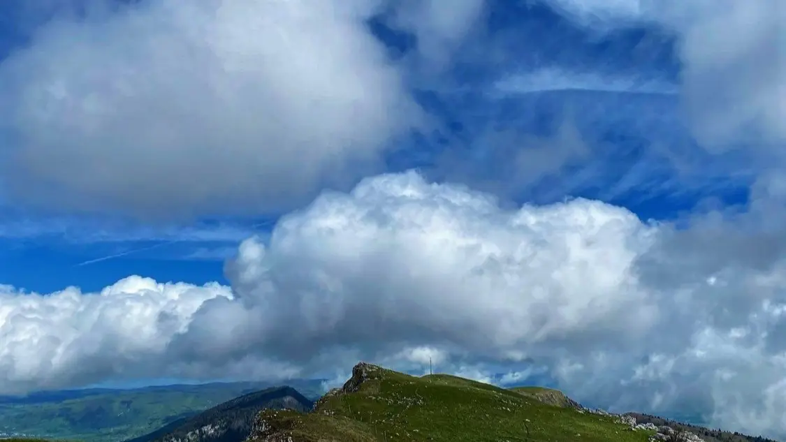
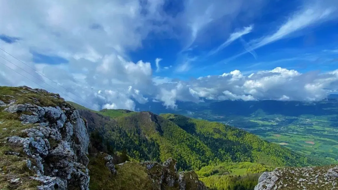
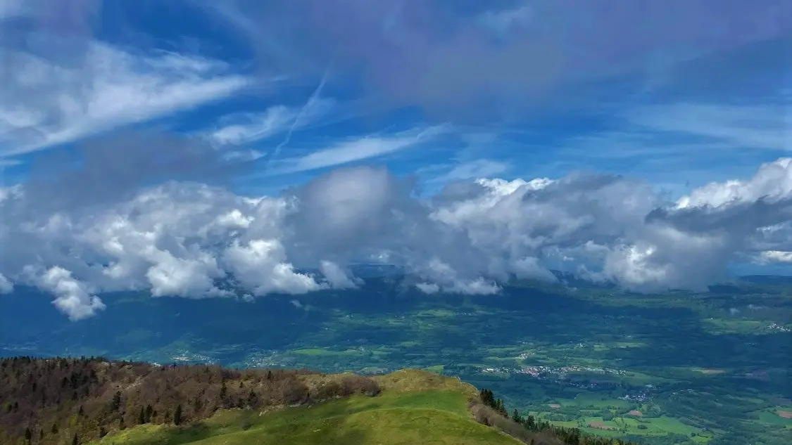
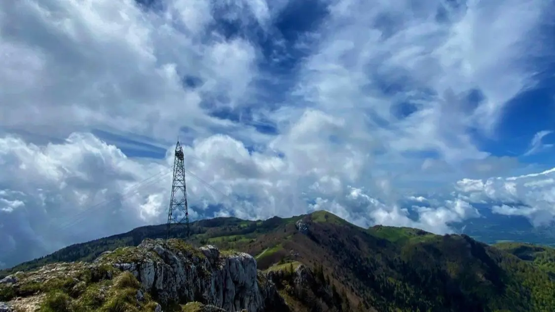
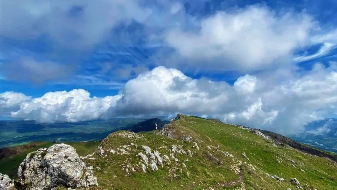
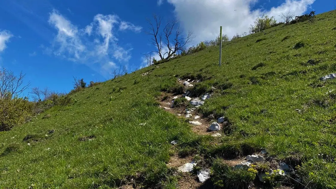
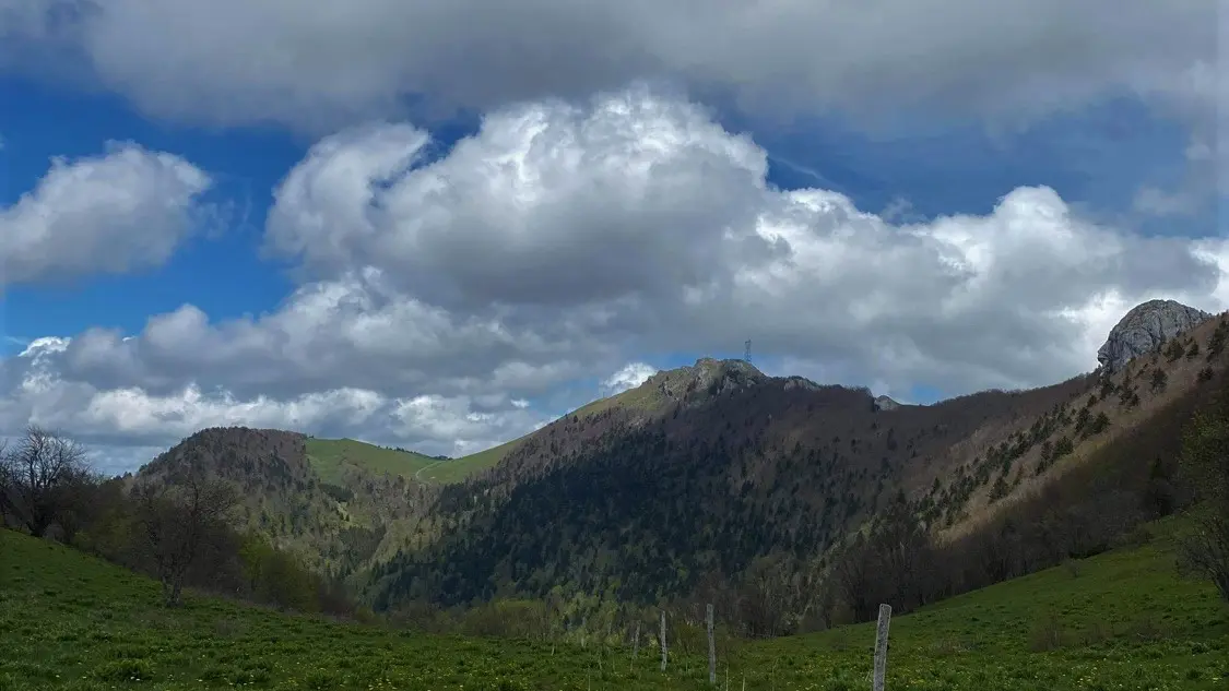
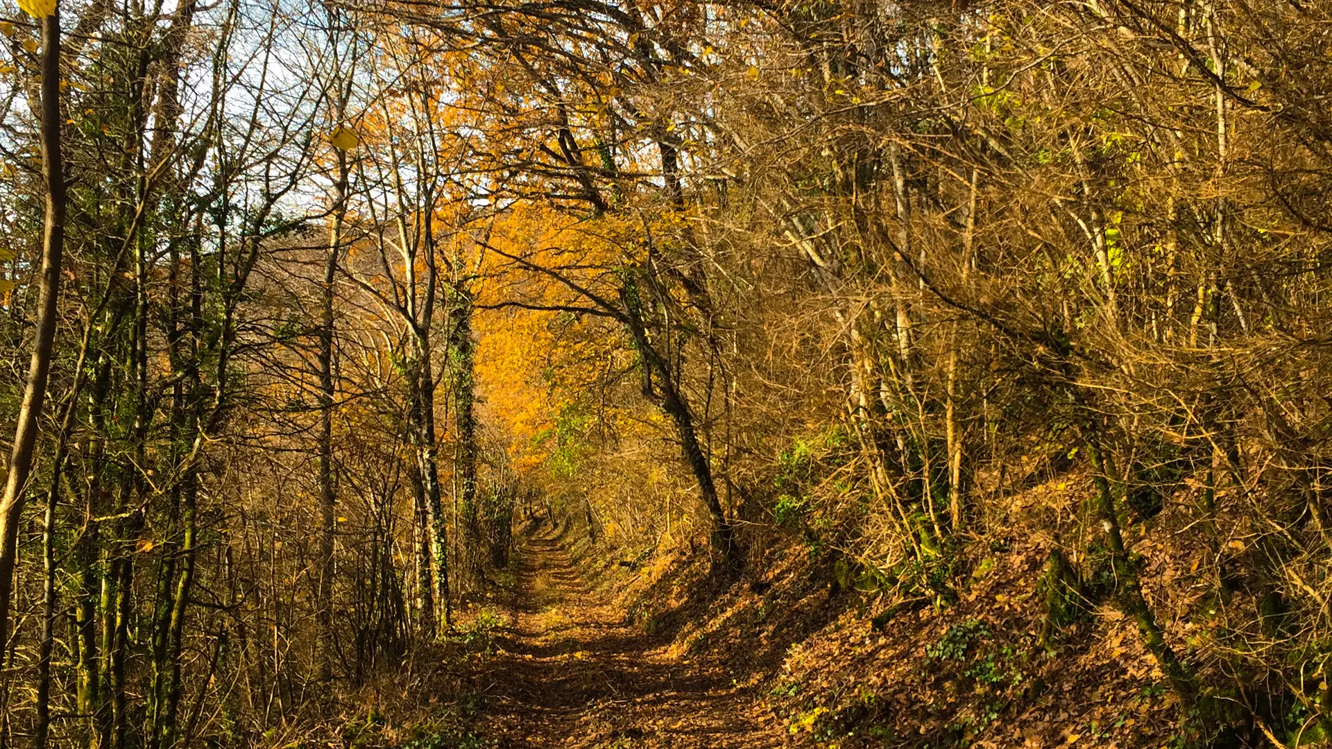
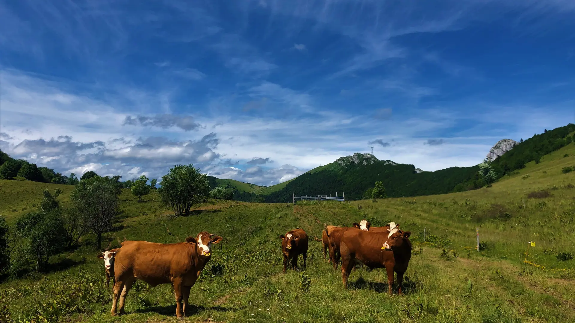
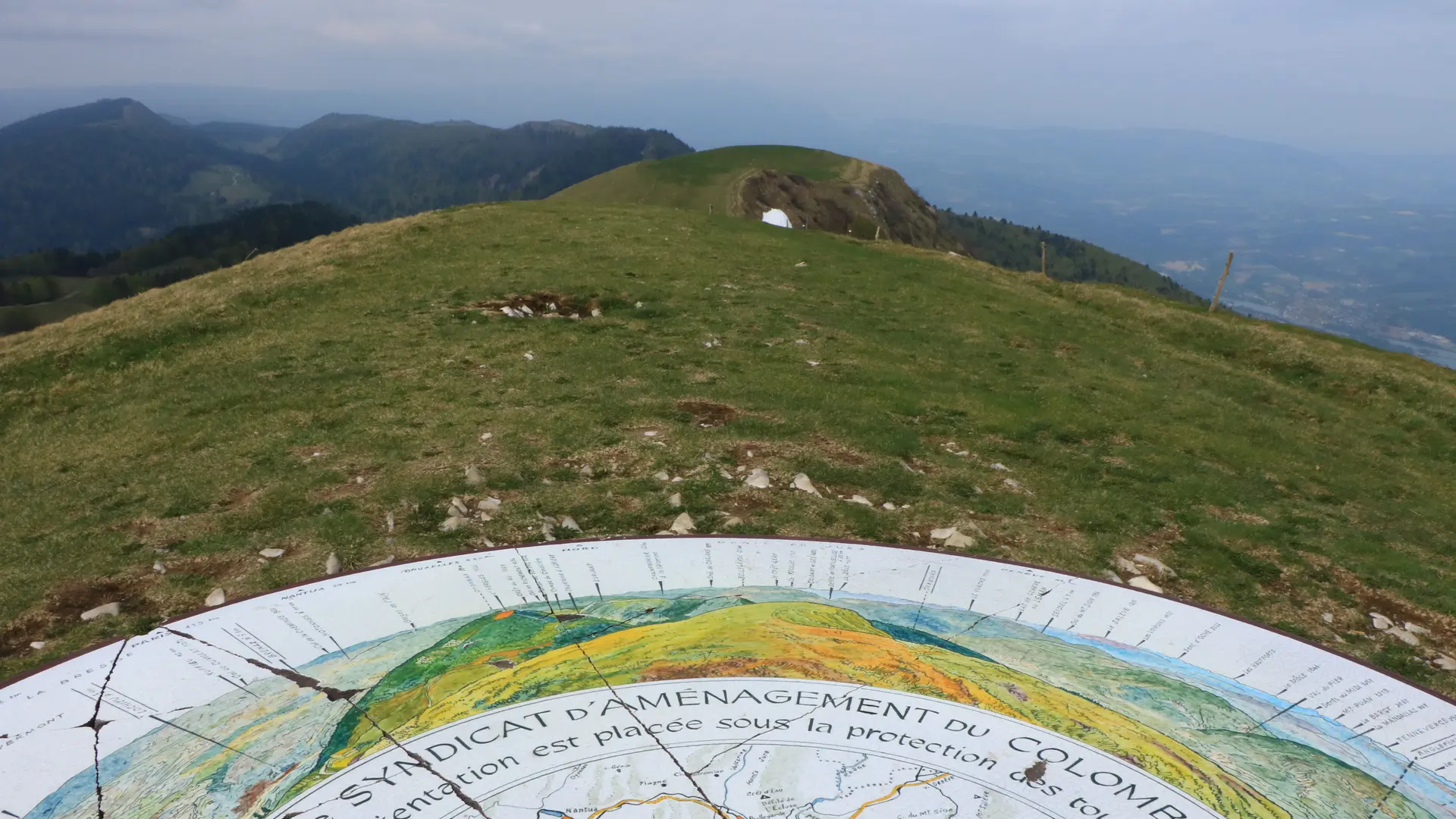
  • Starting in the calm forest of the Massif du Grand Colombier, the slopes will lead you to the breathtaking panoramic views of the summit and the rock of Chanduraz during your ascent from the hamlet of Munet to Virieu-le-Petit.

  • Starting point: go to Assin, hamlet of Virieu le Petit and follow the indications that will lead you to a road that can be driven on. After 600 m, you will find a small car park in the woods.

    Download this hike on the free app Ain Outdoor.
  • Departure
    Arvière-en-Valromey
  • Difference in height
    1003.78 m
  • Parking: reach the hamlet of Assin on the D69 road, then follow the signs indicating the Grand Colombier hiking parking lot. Please note that the last 600m to reach the parking lot are not paved.
  • Environment
    • In the country
    • Forest location
    • Lake view
    • Mountain view
    • Mountain location
    • Panoramic view
  • Documentation
    GPX / KML files allow you to export the trail of your hike to your GPS (or other navigation tool)
1004 meters of difference in height
  • Maximum altitude : 1523 m
  • Minimum altitude : 653 m
  • Total positive elevation : 1004 m
  • Total negative elevation : -1004 m
  • Max positive elevation : 652 m
  • Min positive elevation : -464 m
Close
Filter search
Page types
  • All
  • Articles
  • Agenda
  • Lists
Aucun résultat