
                        
                          See photos (8)
                    
                Hike: Grand Colombier from Culoz


                    Sport, Pedestrian sports, Hiking itinerary                    
                
                                                    in Culoz-Béon
                            
            25.9
                        km
                    
                8h 
                Very difficult
                - 
                    
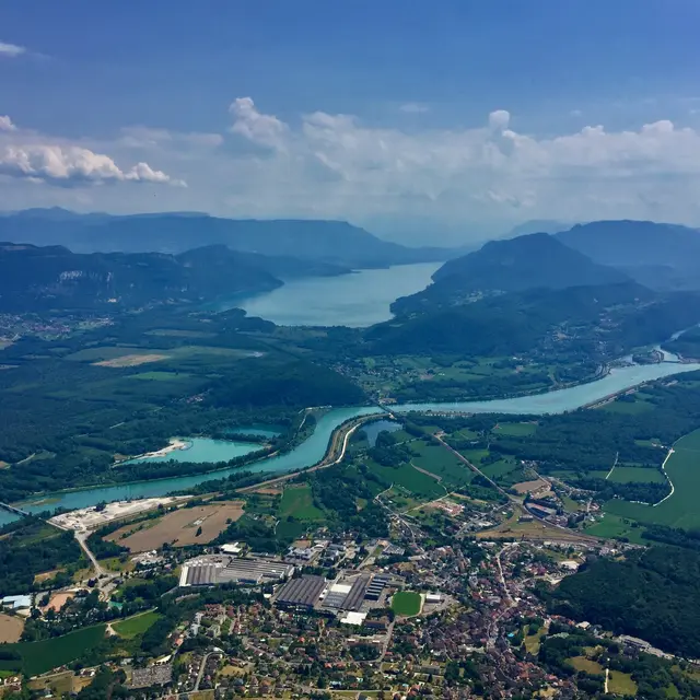
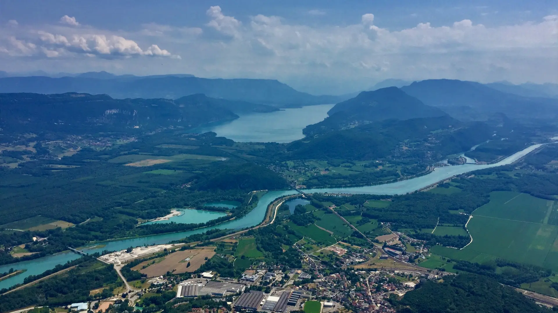
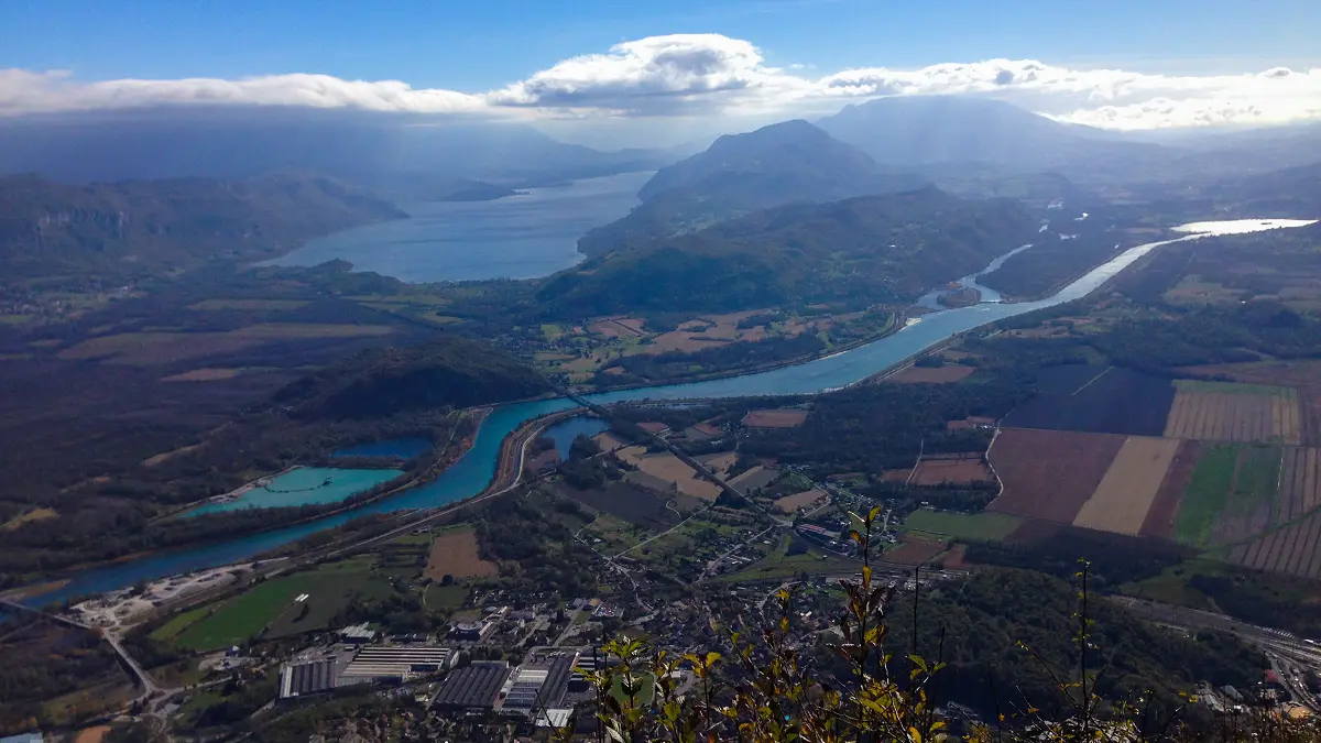
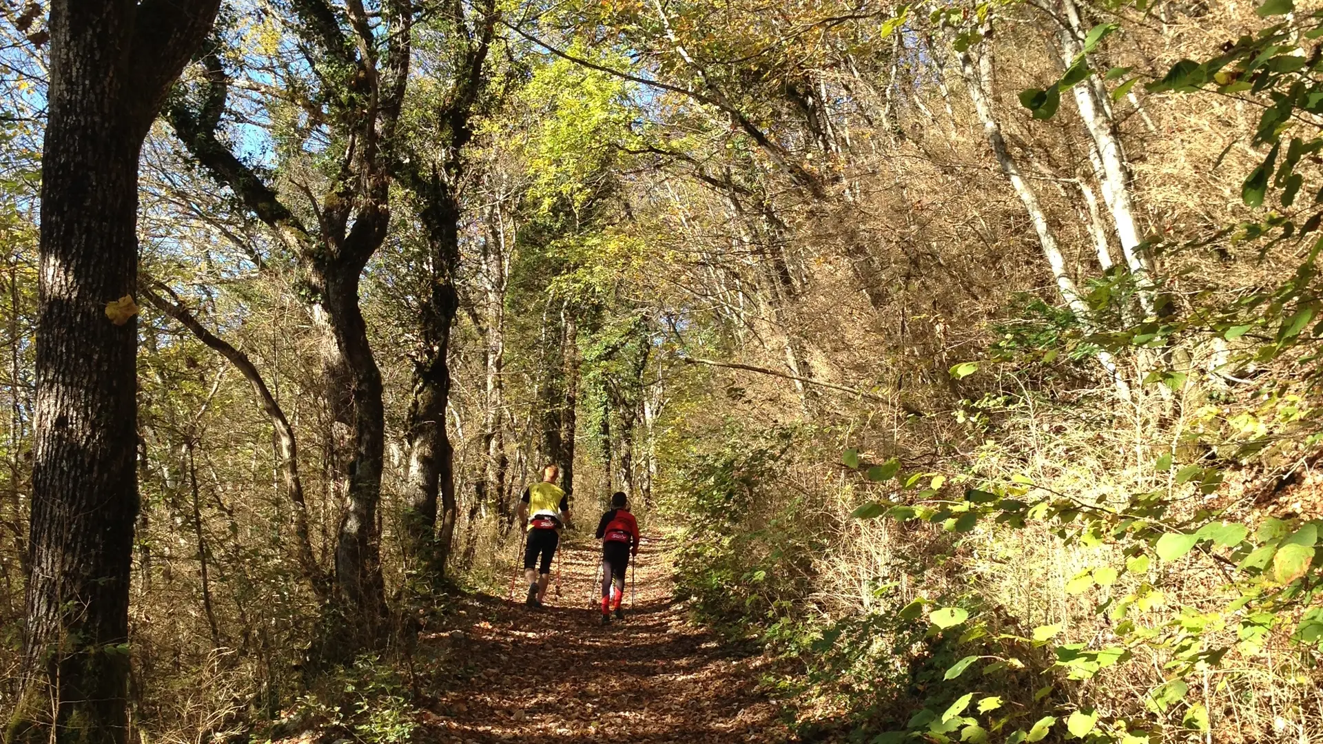
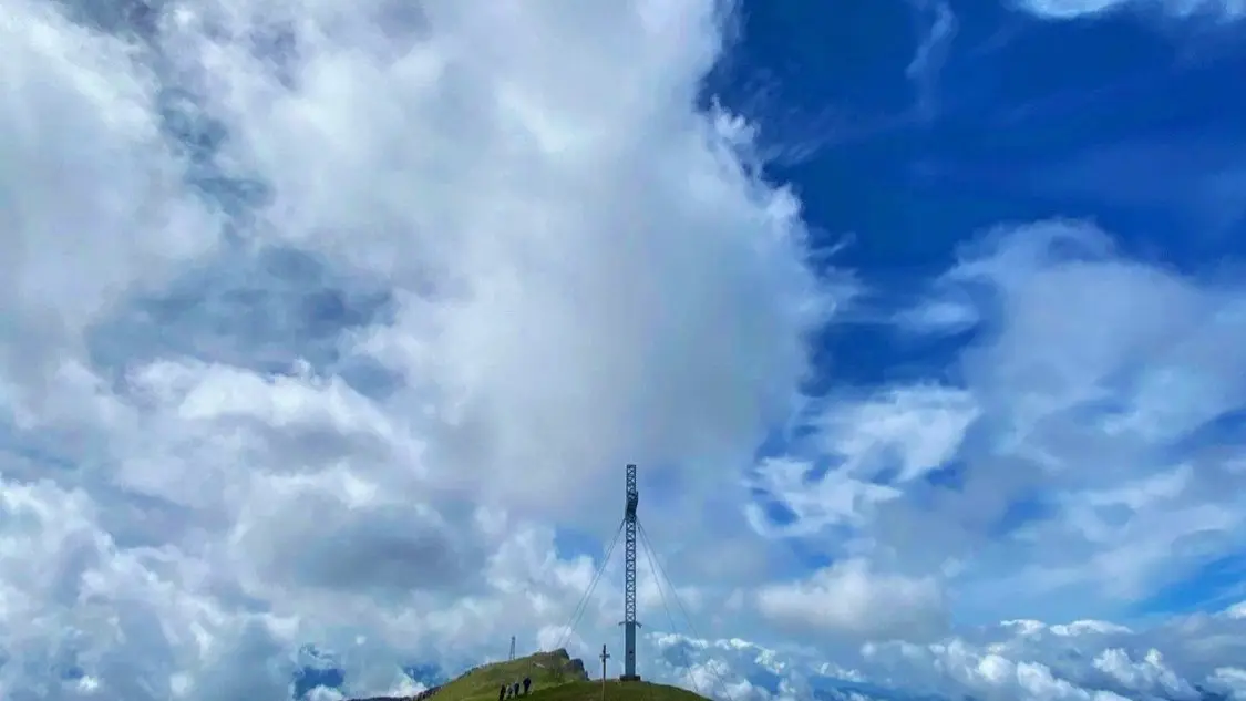
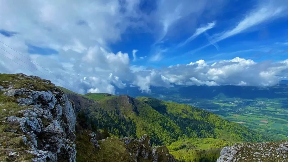
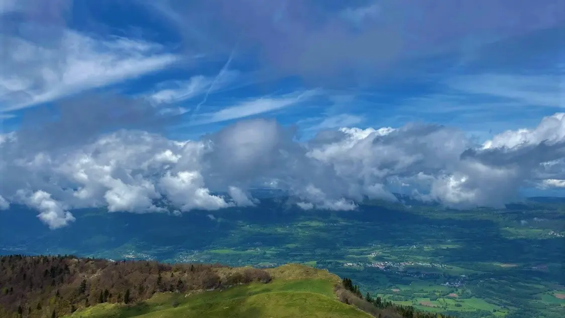
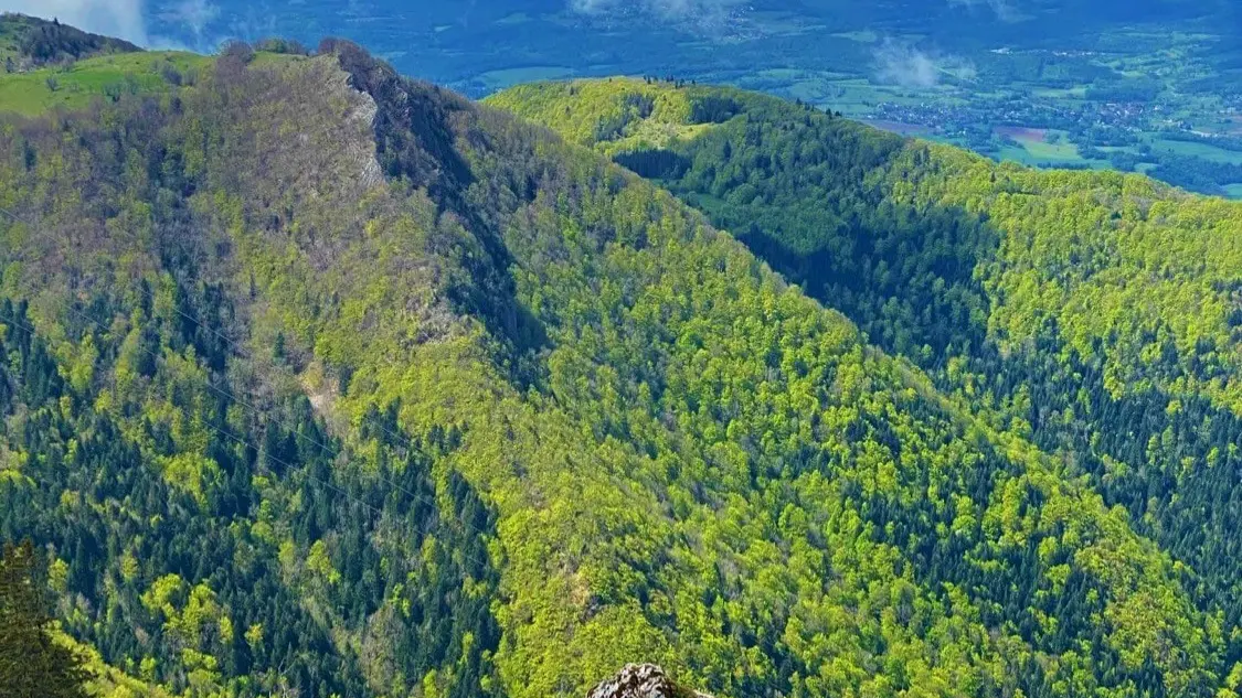
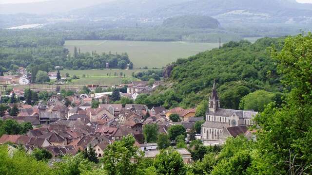
Hike constituting a return trip on the same route, passing by the Fenestrez belvedere (1077 m) and continuing along the ridge path, to the viewpoint of the Cross (1525 m)
Marking: white / red (GR9) - 
                                        
                                            This hike can be downloaded on the free app Ain Outdoor.
 
- Departure
 - Culoz-Béon
 
- 
    
- 
                                Difference in height
 - 1356.08 m
 
 - 
                                
 - 
    
- 
                                Environment
 
 - 
                                
 - 
    
- 
                                Documentation
 - 
                                                            
- Carte de la Randonnée pédestre : Le Grand Colombier depuis Culoz
 - Suricate - signaler un problème sur le parcours
 - GPX Randonnée Grand Colombier depuis Culoz
 
 
 - 
                                
 
- 1356 meters of difference in height
 - 
                
- Maximum altitude : 1523 m
 - Minimum altitude : 294 m
 
- Total positive elevation : 1356 m
 - Total negative elevation : -1350 m
 - Max positive elevation : 391 m
 - Min positive elevation : -428 m


