Vue sur les vignobles du Bugey et le Grand Colombier depuis Flaxieu
Panorama sur le Grand Colombier
Randonneurs sur le Grand Colombier
Cyclistes sur la ViaRhôna entre Genève et Lyon
Comté et Raclette de la Fruitière du Valromey
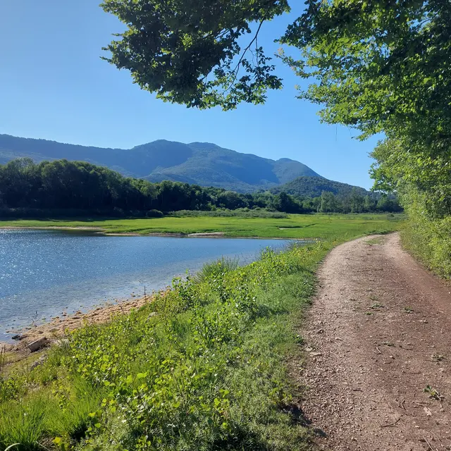
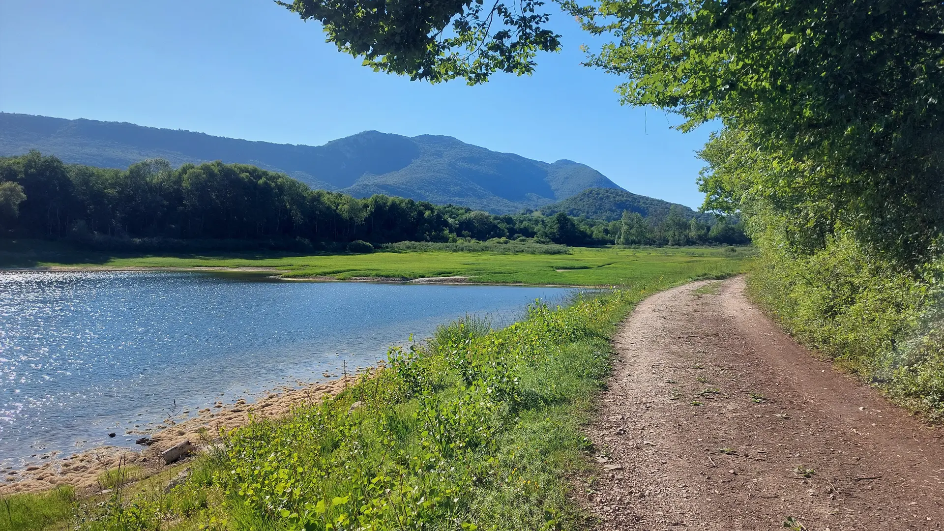
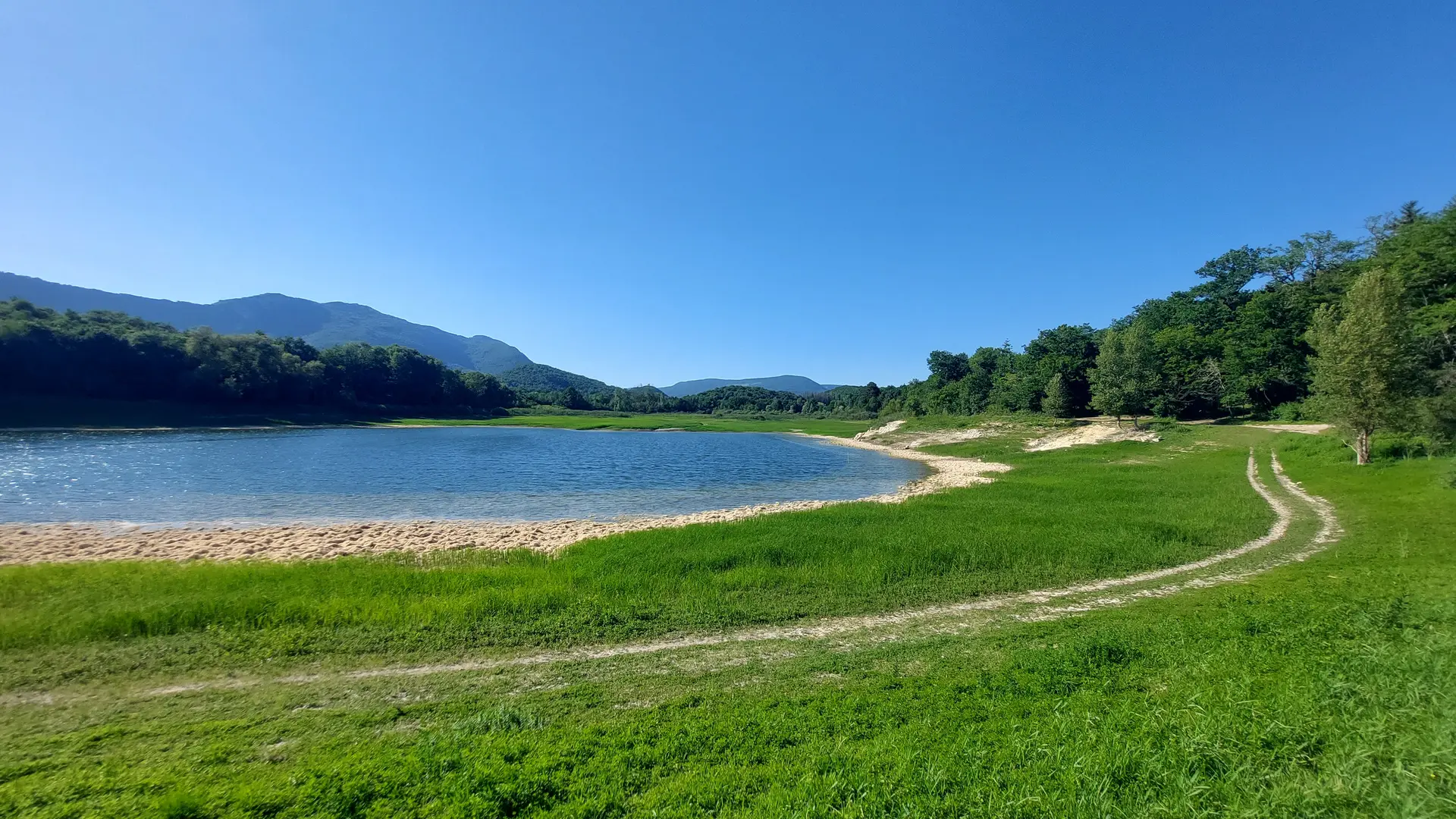
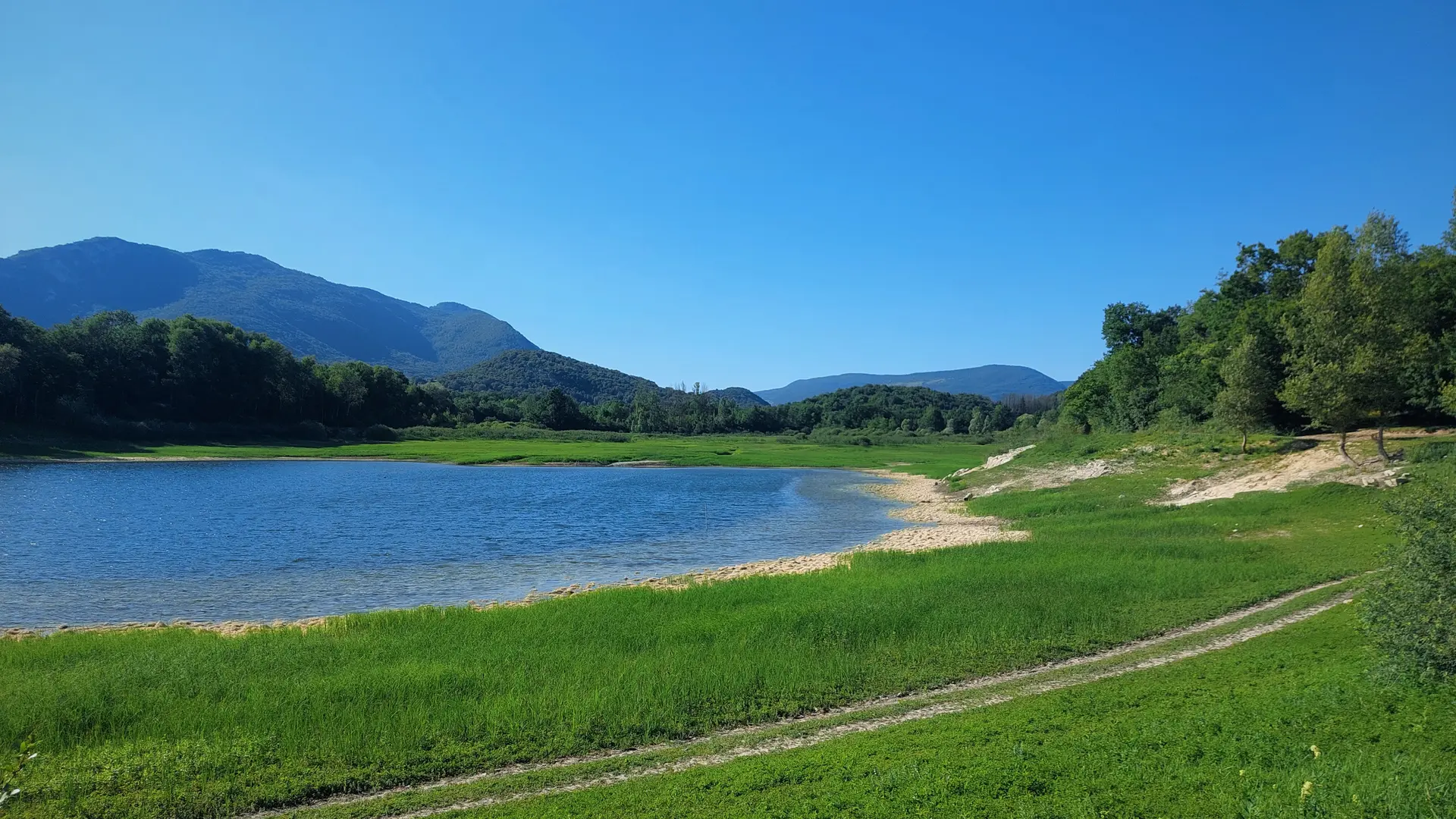
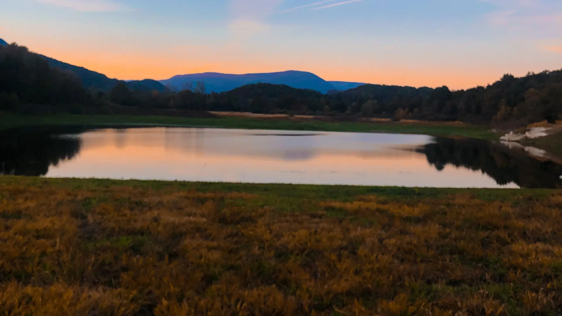
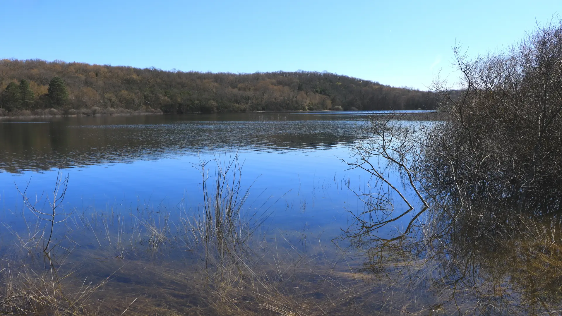
Lac de Barterand
Winter activities on Les Plans D'Hotonnes - Plateau de Retord
Visite guidée de l'Office de Tourisme à la fontaine et la Chapelle de l'Adoue
M.Ballet
Office de tourisme Bugey Sud Grand Colombier