See photos (8)

From one Plateau to another

Sport, Cycling sports, Cycle tourism route in Haut-Valromey
106.1 km
6h 20min
Very difficult
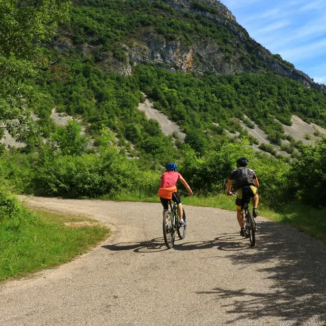
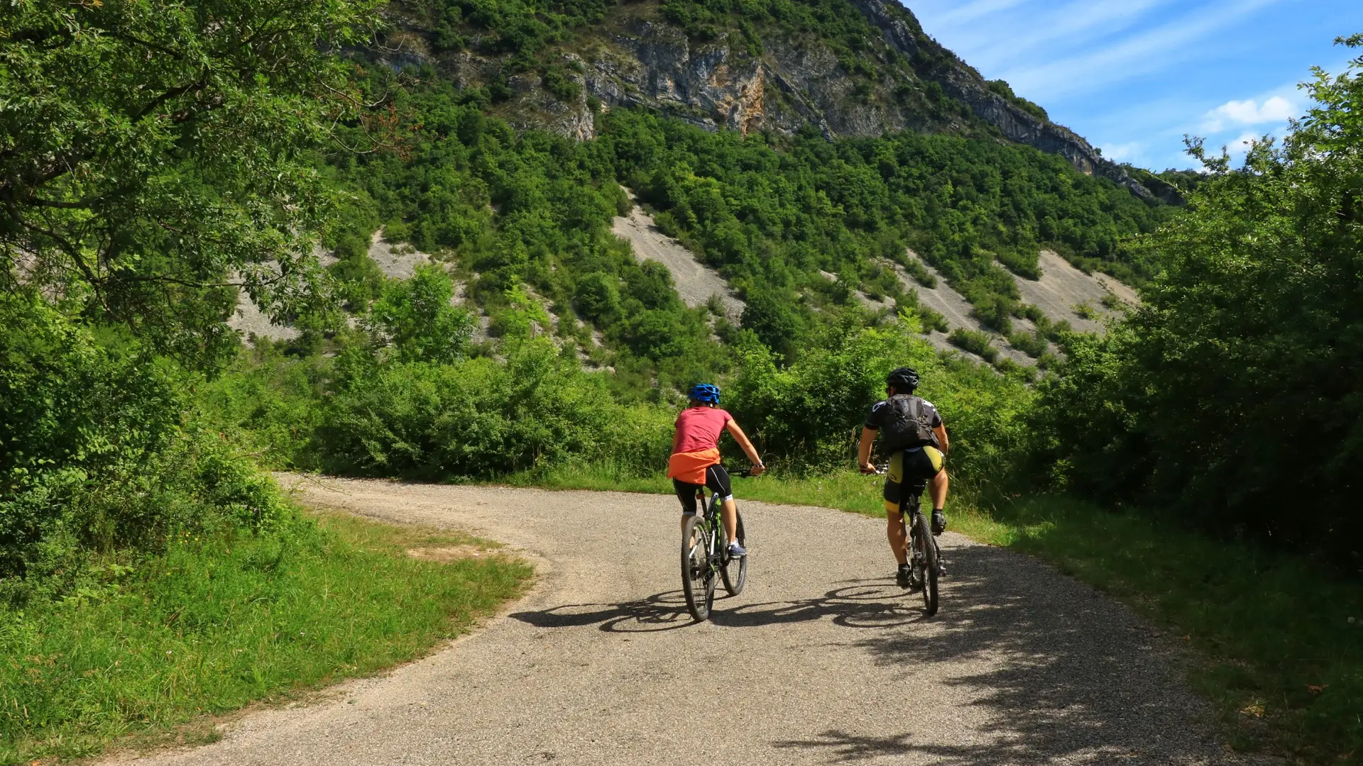
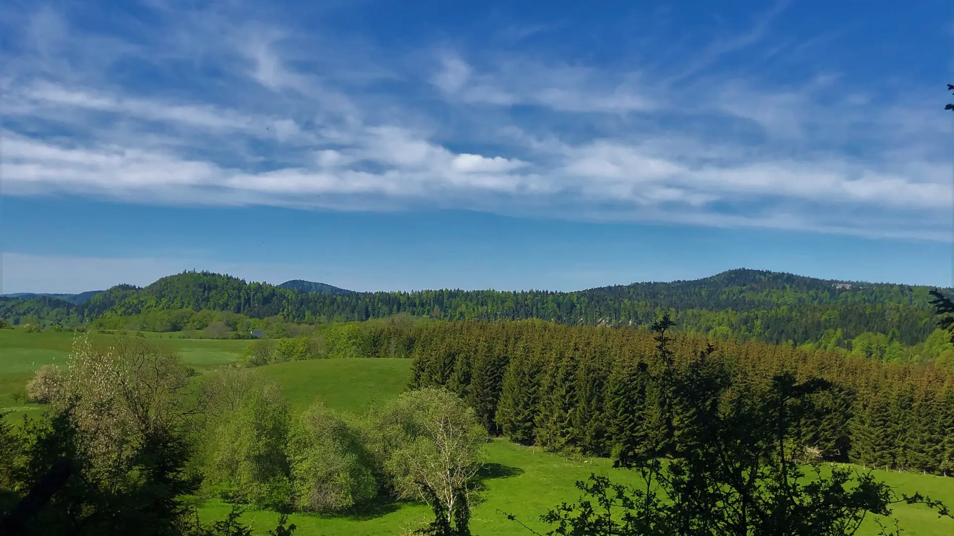
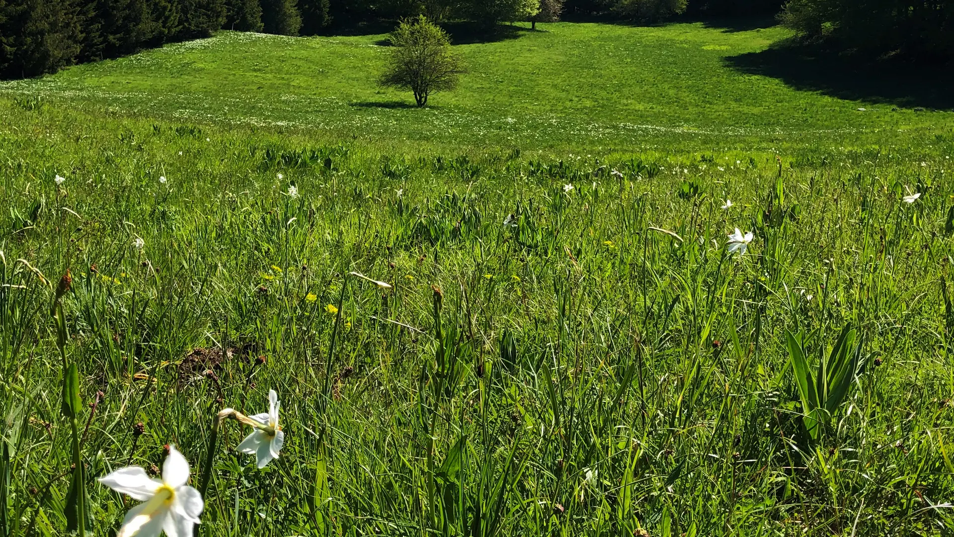
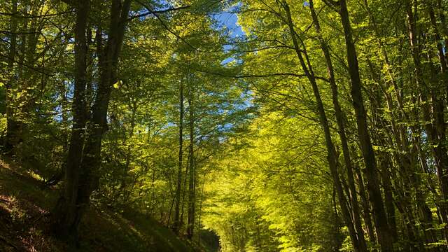
  • 106 km circuit starting from the resort of Plans d'Hotonnes allowing you to discover the quiet roads of Valromey and the Plateau d'Hauteville.

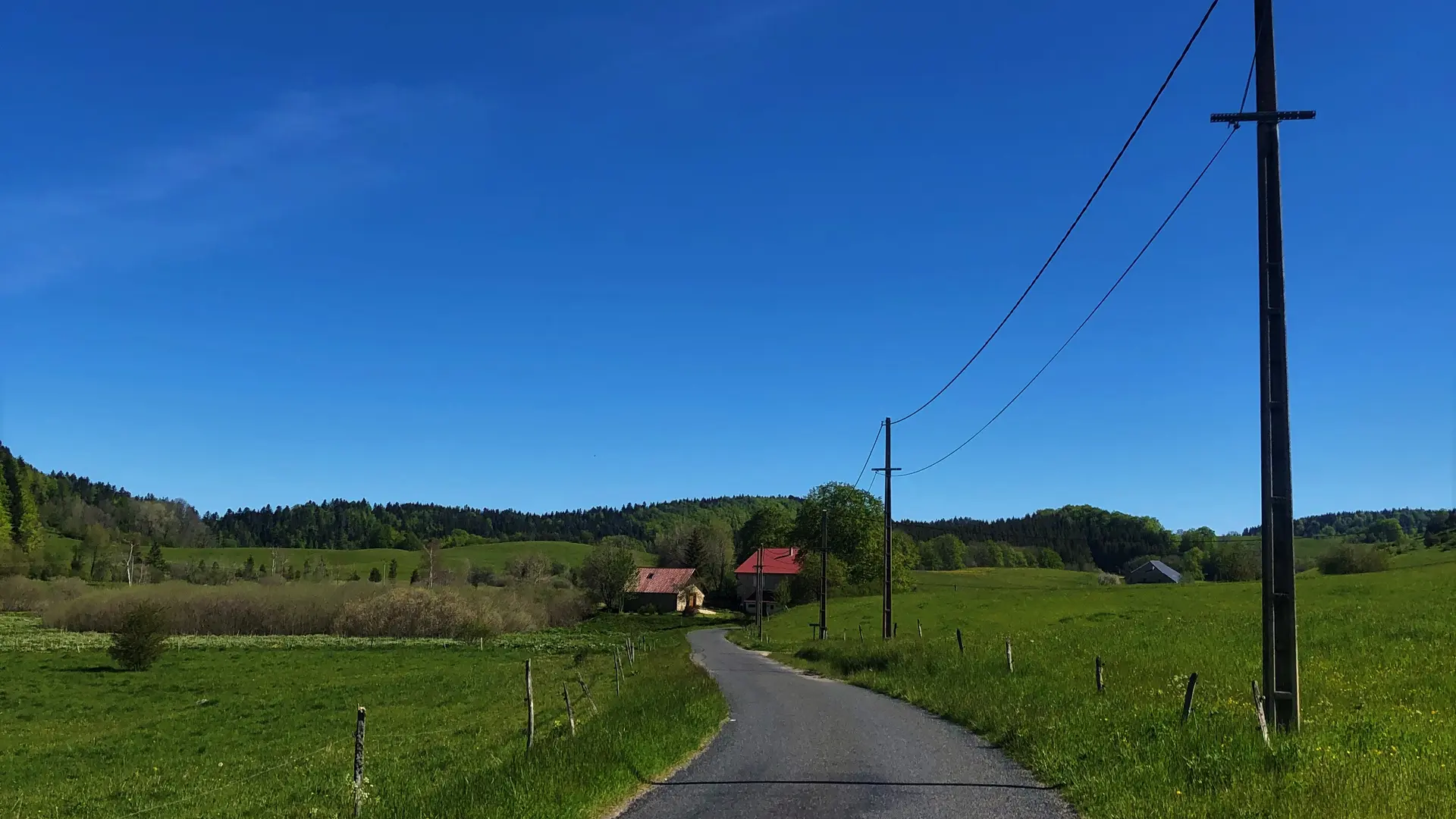
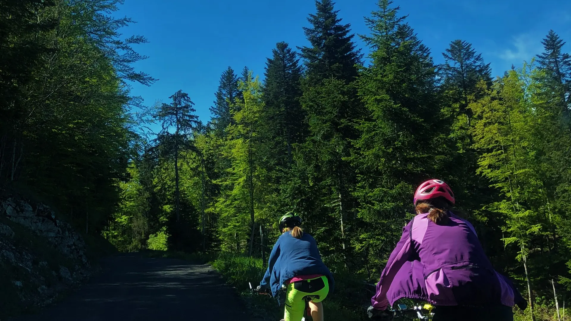
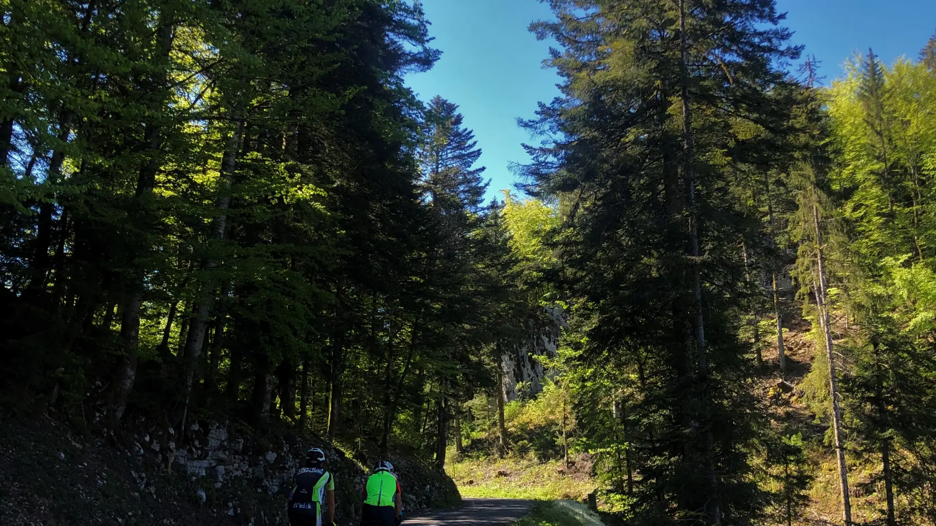
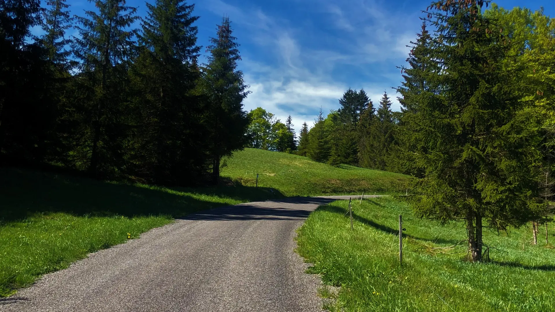
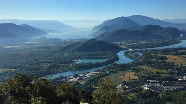
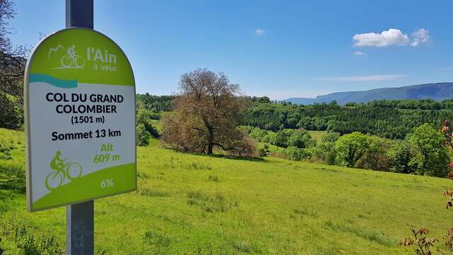
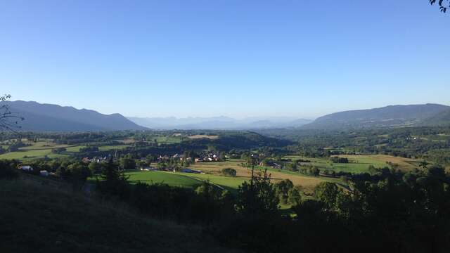
  • Departing from the Plans d'Hotonnes resort on the Plateau de Retord, this circuit descends the Valromey to Virieu-le-Grand before climbing the Côte des Vignes to Thezillieu. The route then avoids Hauteville to descend to Chaley and go up to the small village of Lacoux. The rest of the route passes through the Petit Col du Cruchon, the Combe de Léchaud and the Col de Belleroche before returning to the resort.

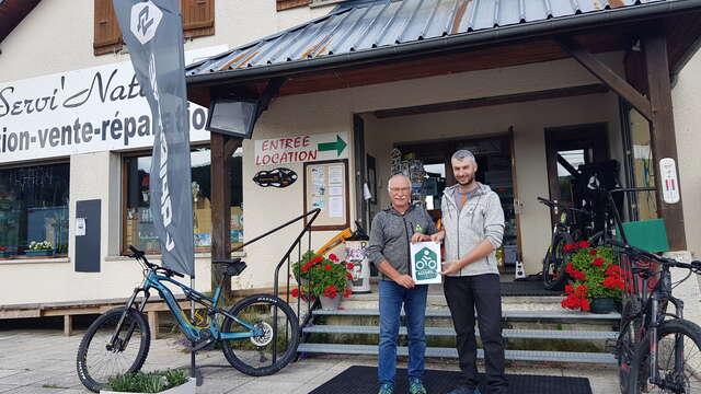
    Rental of classic bikes and VAE at the Sports 360 store in Plans d'Hotonnes.
  • Departure
    Haut-Valromey
  • Difference in height
    2928.15 m
  • Plain text period
    From 15/04 to 15/10.
  • Environment
    • Mountain view
    • Panoramic view
    • Forest location
    • Station district
    • View over the vineyards
    • In the country
    • Mountain location
    • Lake 5 km away
    • River 5 km away
    • Close to a public transportation
    • Village 2 km away
  • Documentation
    GPX / KML files allow you to export the trail of your hike to your GPS (or other navigation tool)
2928 meters of difference in height
  • Maximum altitude : 1163 m
  • Minimum altitude : 262 m
  • Total positive elevation : 2928 m
  • Total negative elevation : -2928 m
  • Max positive elevation : 210 m
  • Min positive elevation : -548 m
Services
  • Equipment
    • Free car park
    • Car park
    • Public WC
    • Bar
    • Picnic area
  • Services
    • Motorhomes allowed
    • Accommodation
    • Restaurant
Close
Filter search
Page types
  • All
  • Articles
  • Agenda
  • Lists
Aucun résultat