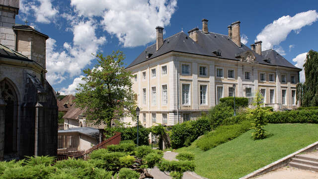
Route from Belley through Gland valley to discover architectural heritage and typical villages in Bugey.
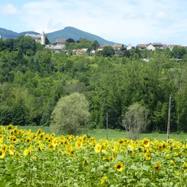
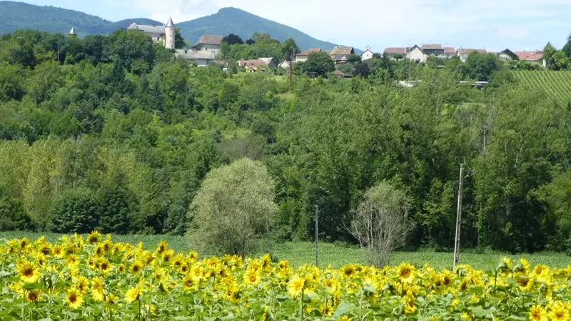
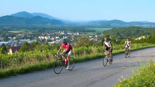
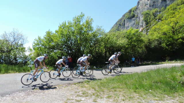
Departing from Belley, the historic capital of Bugey, set off on a short cycling trip through the Gland Valley, a slightly hilly loop that will delight lovers of peace, nature, and authenticity.
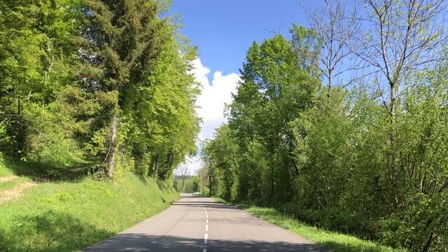
This easy loop follows roads with very little traffic, winding through the rolling, green landscapes of this part of Bugey at the foot of the Innimond cross.
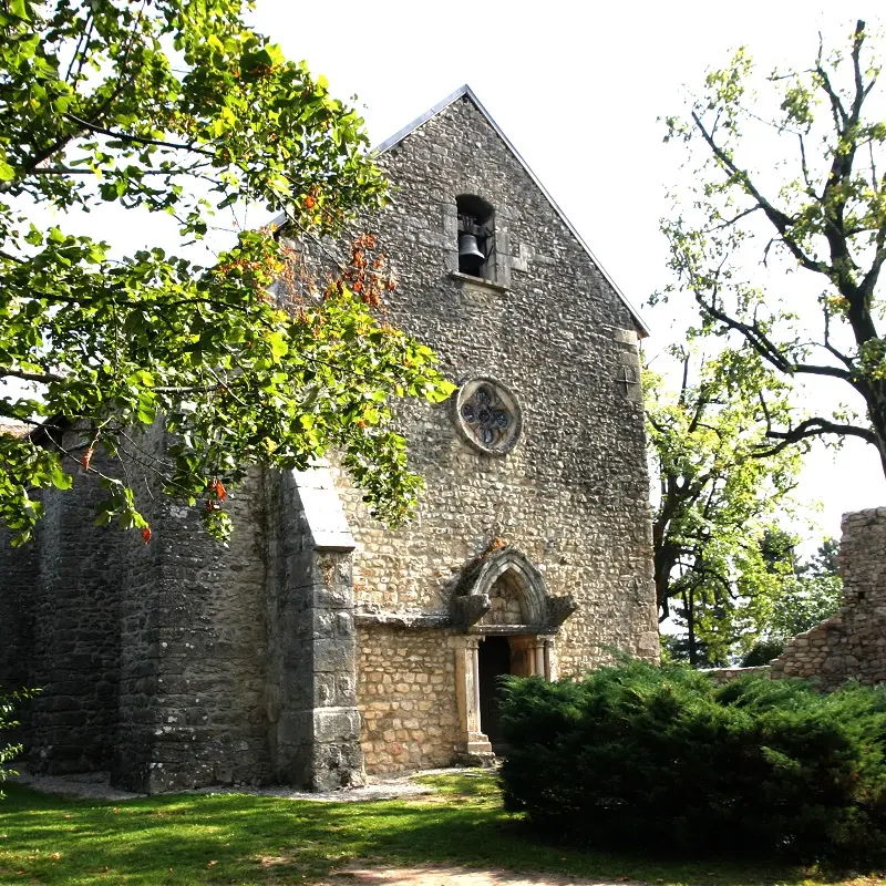
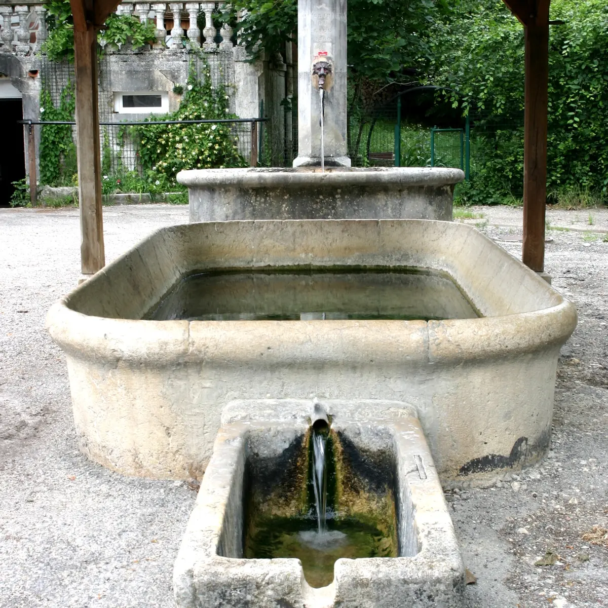
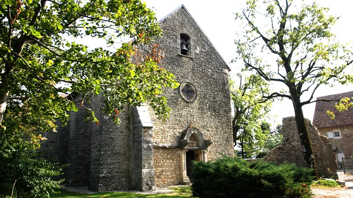
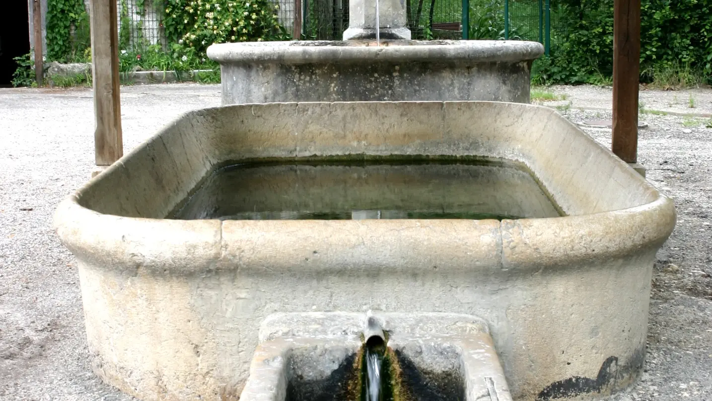
As the kilometers pass, you'll pass through a series of small villages typical of southern Bugey, where stone houses, old fountains, and small churches tell a rich and vibrant local history. Among them, Conzieu, Saint-Bois, Ambléon, Andert-et-Condon, and Contrevoz offer charming crossings.
Far from the main roads, this loop is a true treasure for cyclists seeking tranquility.
Extras along the way: a relaxing break by the peaceful Gland River in a shady setting, a gourmet break at the Contrevoz bakery and pastry shop and/or on the terrace of one of the region's finest restaurants after the loop?
Some heritage sites to discover along the route:
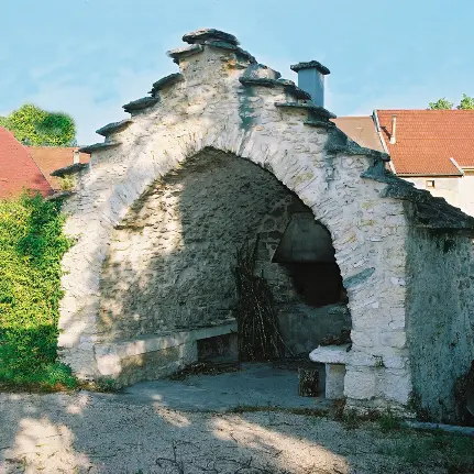
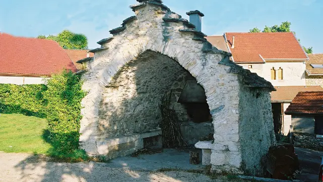
Belley, the capital of Bugey; Peyzieu and its 16th-century chapel; Conzieu, its 12th-century church and former priory; Meyrieu, its washhouse and listed oven; Essieu and the ruins of Beauretour Castle; Contrevoz (bakery-grocery store and restaurant on site); and Andert, its 13th-century chapel and castle.