
See photos (3)
Cycling route: Col des Fosses Ordonnaz
Sport, Cycling sports, Cycle tourism route
in Belley
48.2
km
2h 45min
Hard
-
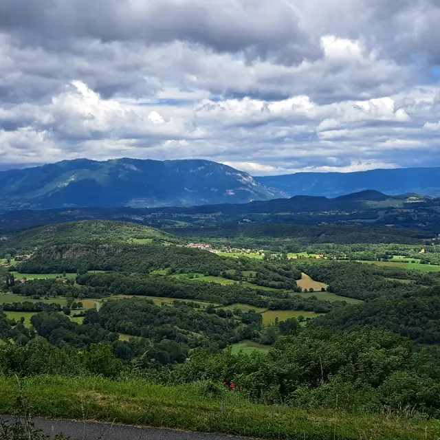
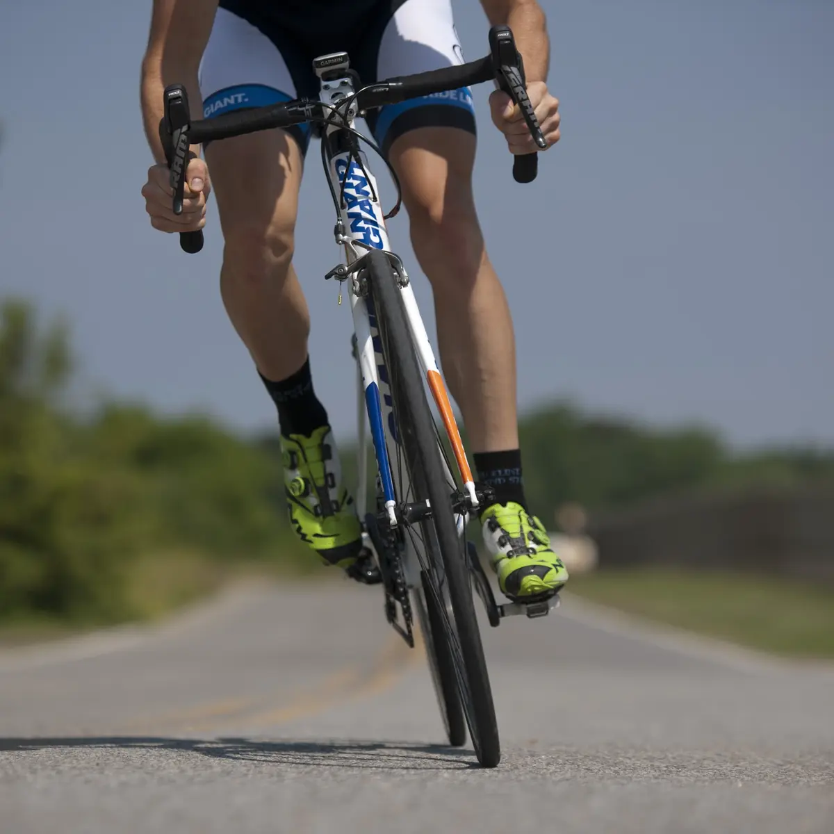
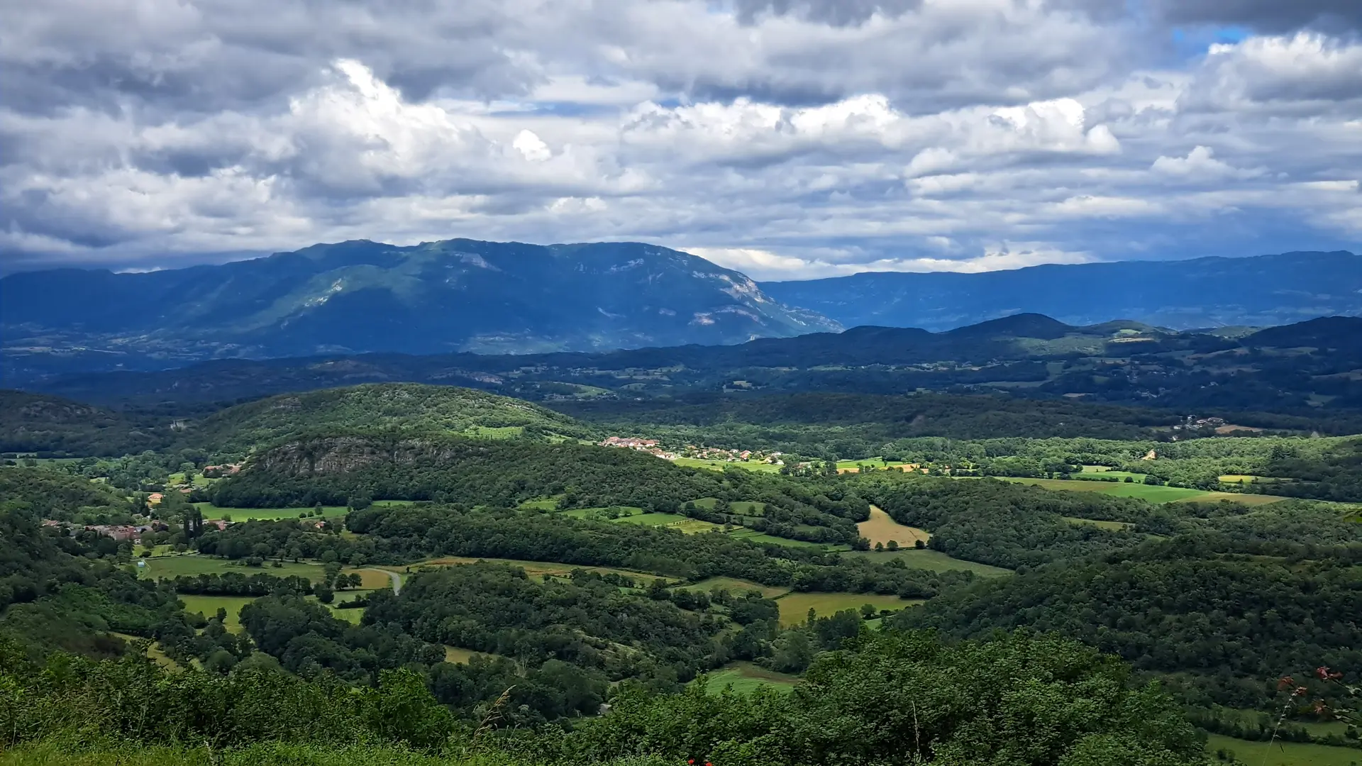
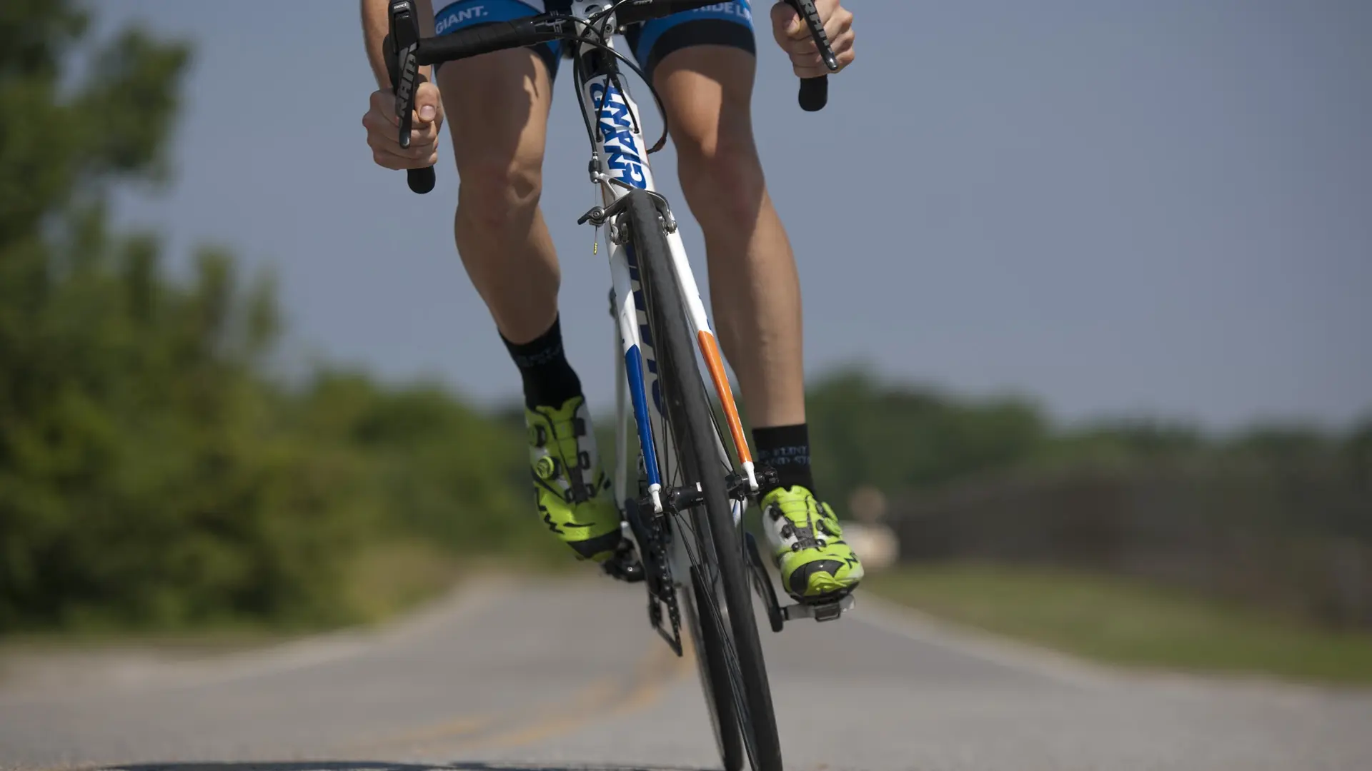
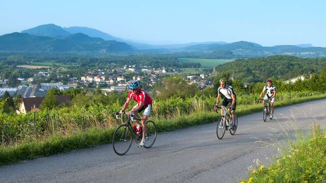
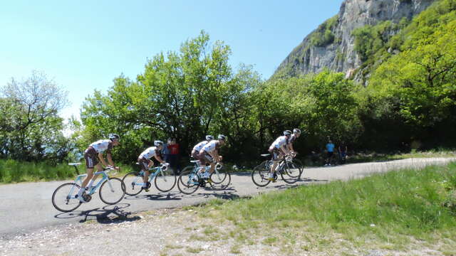
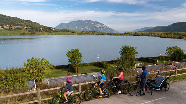
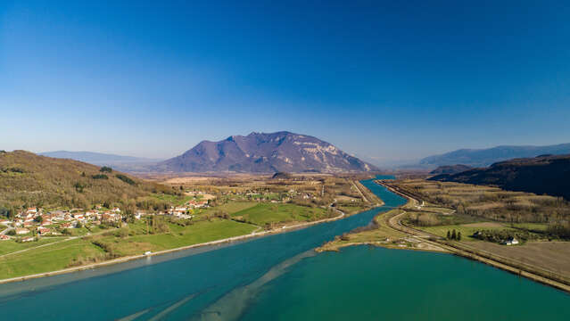
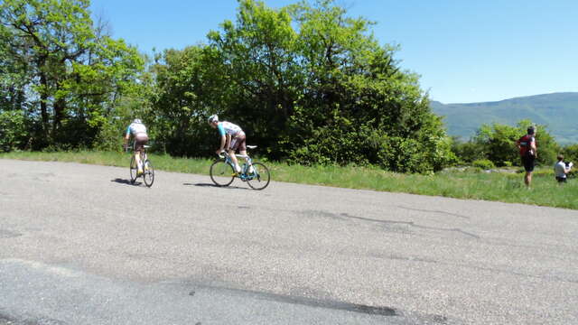
Lovely cycling ride in Bugey's mountain.
To discover along the road:
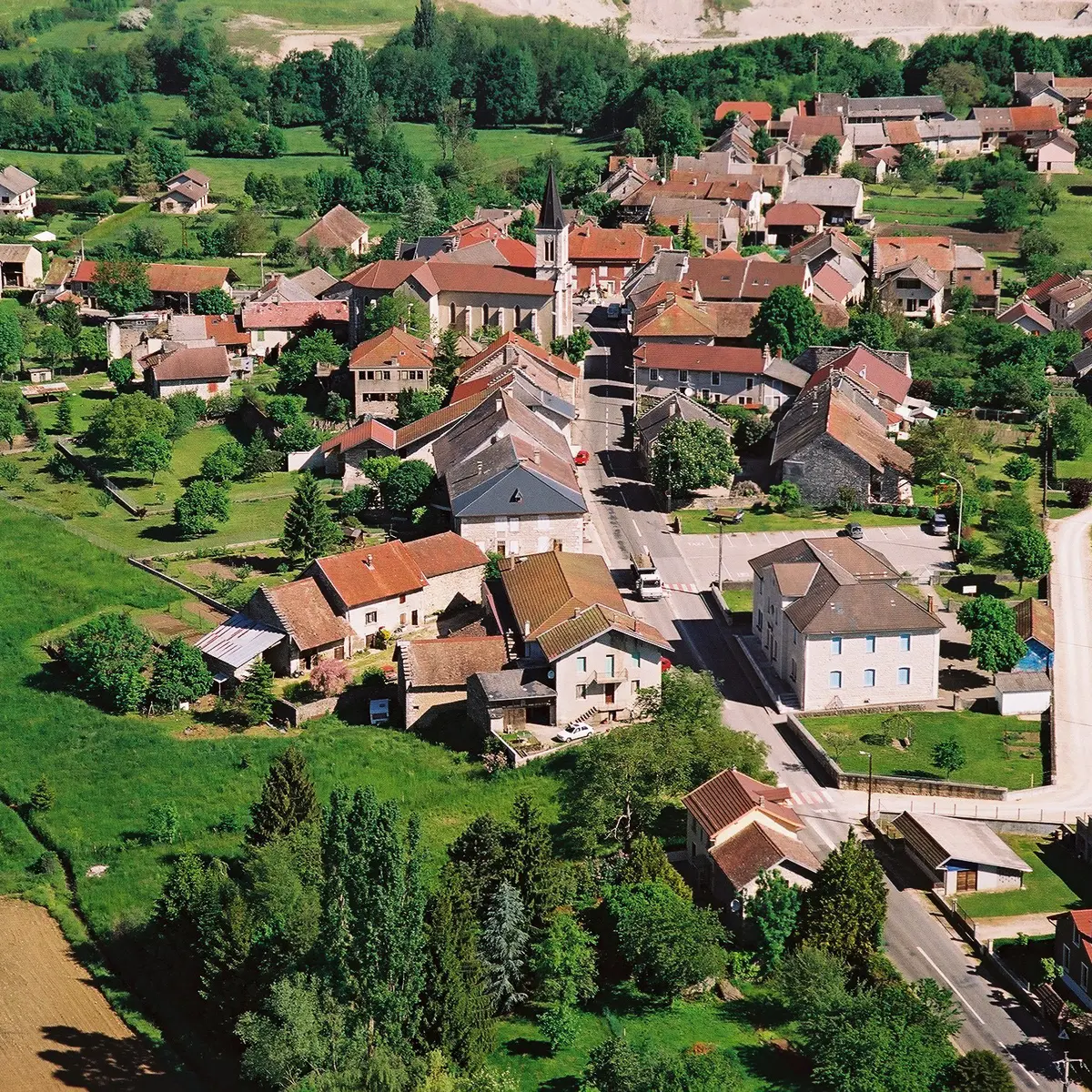
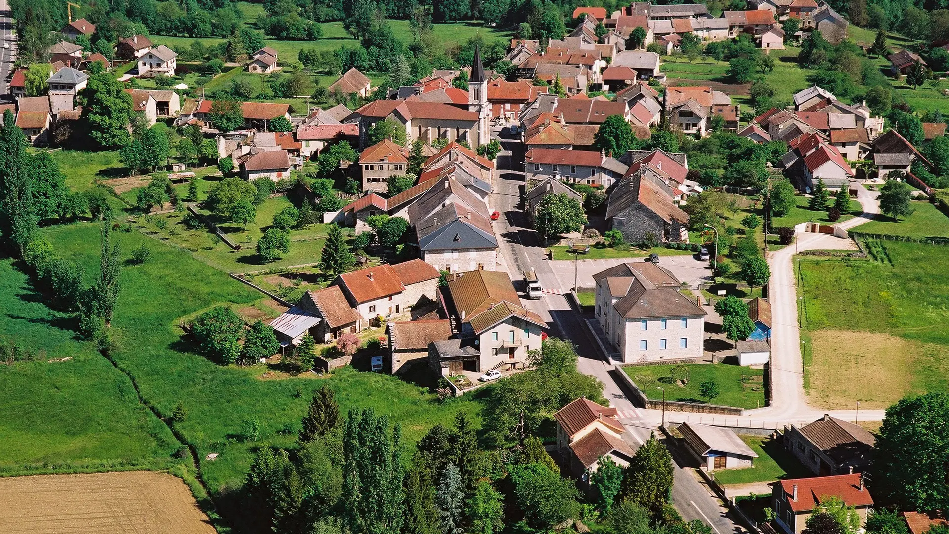
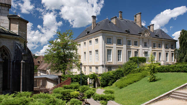
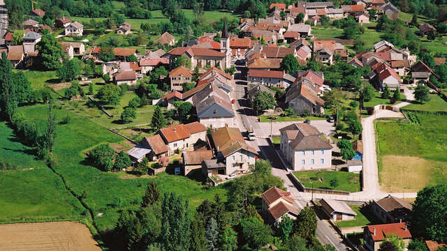
Belley, Bugey's capital
The panorama table before the top of col des Fosses
Ambléon and Cerin lakes
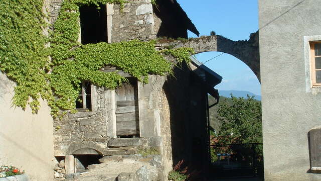
Ordonnaz church -
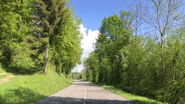
Certainly one of the best cycling ride if you want to ride on smal roads and avoid the traffic. No brutal climb but a succession of uphills with regular gradients.
- Departure
- Belley
-
-
Difference in height
- 1118.33 m
-
-
-
Plain text period
- From 01/04 to 31/10.
-
-
-
Environment
-
-
-
Documentation
- GPX / KML files allow you to export the trail of your hike to your GPS (or other navigation tool)
-
- 1118 meters of difference in height
-
- Maximum altitude : 942 m
- Minimum altitude : 229 m
- Total positive elevation : 1118 m
- Total negative elevation : -1118 m
- Max positive elevation : 147 m
- Min positive elevation : -412 m
Services
-
-
Equipment
-
-
-
Services
-