See photos (4)

Cycling route: Cascades et pommiers (Waterfalls and apple trees)

Sport, Cycling sports, Cycle tourism route in Belley
72.3 km
3h 30min
Medium
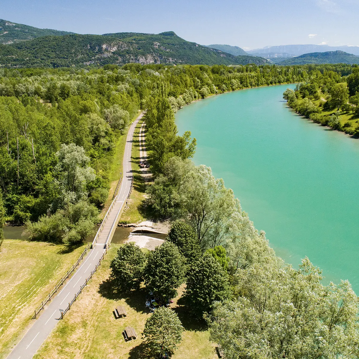
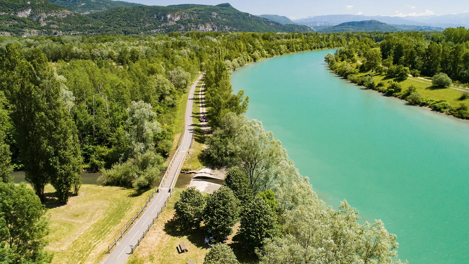
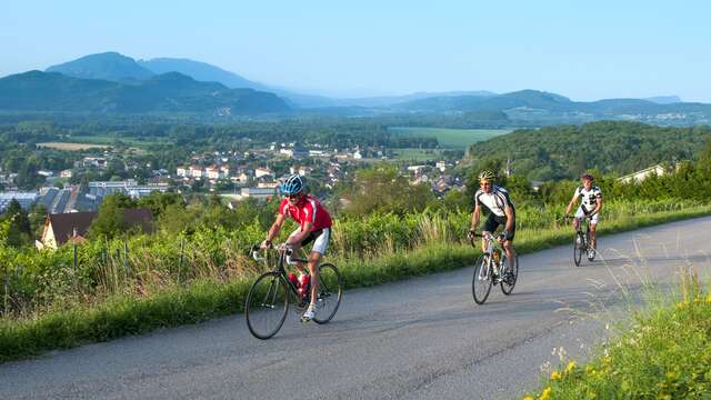
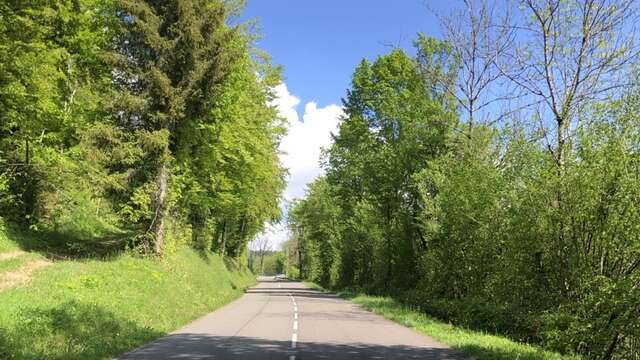
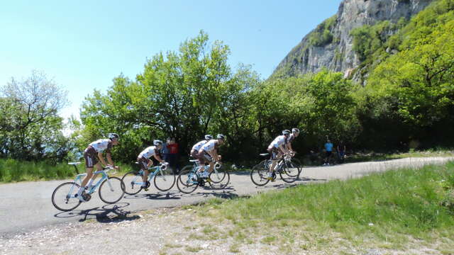
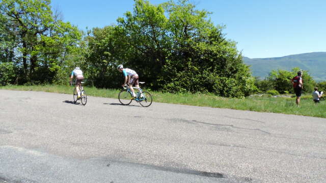
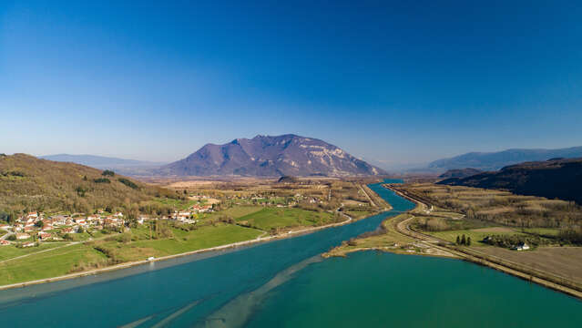
  • Cycling route following the Gland Valley to Gandieu waterfall and the ViaRhôna cycle path.

  • To discover along the road:
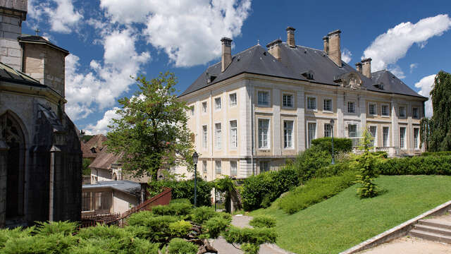
    Belley - Bugey's capital
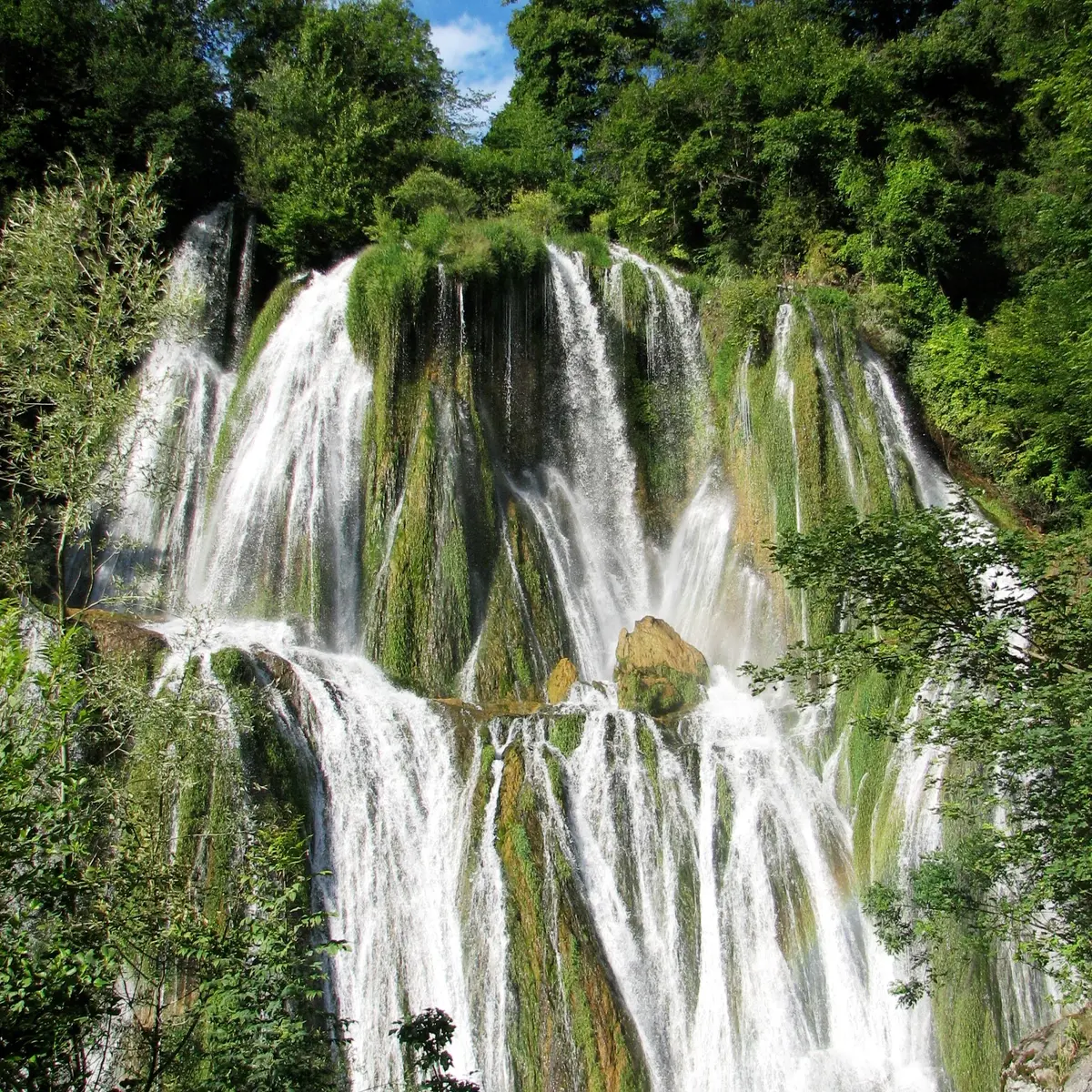
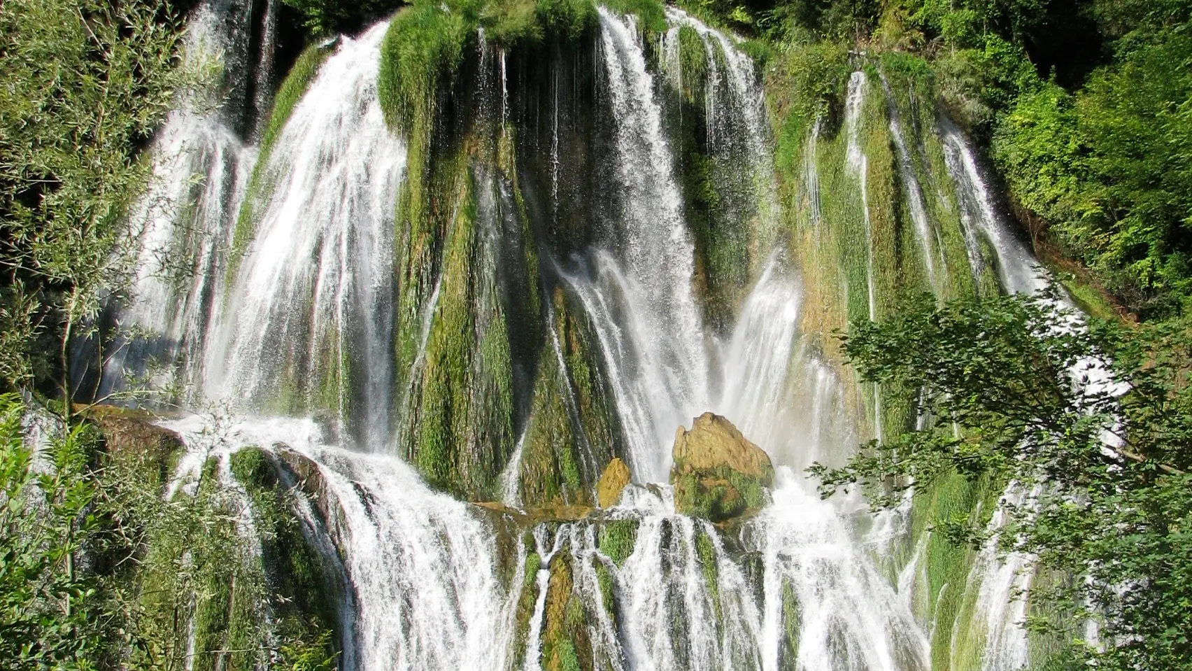
    Glandieu waterfall
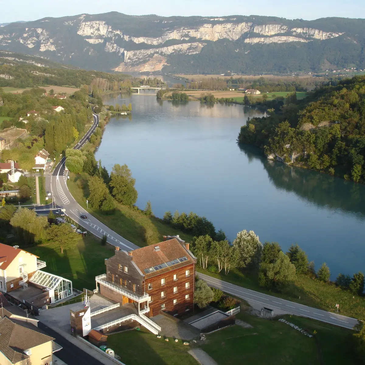
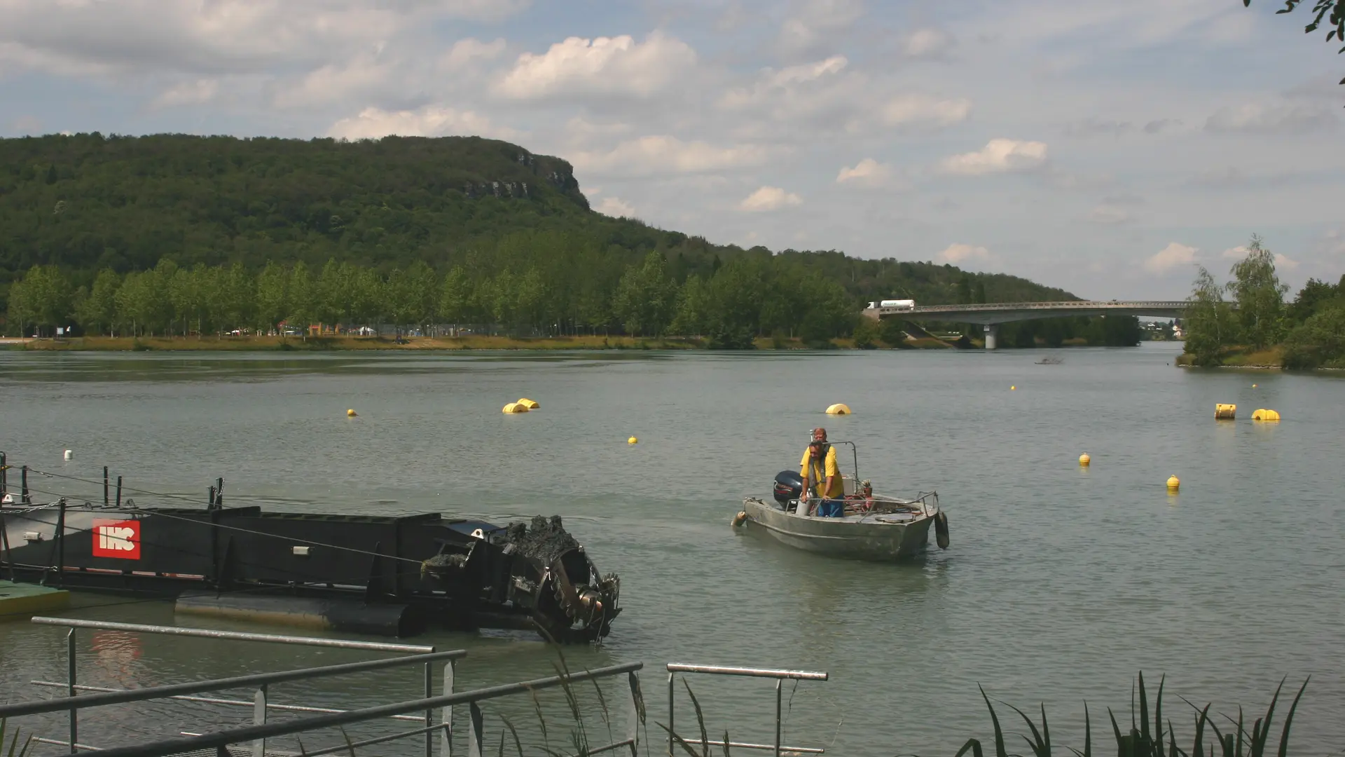
    Suspension bridge of Port de Groslée
    Brangues castle and Paul Claudel's tomb
    Saint Didier d'Aoste and its medieval chapel.
    Peyrieu and its typical architecture, the castle
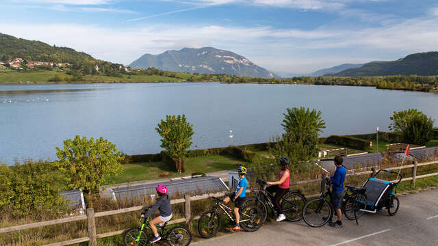
    The ViaRhôna
776 meters of difference in height
  • Maximum altitude : 380 m
  • Minimum altitude : 205 m
  • Total positive elevation : 776 m
  • Total negative elevation : -776 m
  • Max positive elevation : 153 m
  • Min positive elevation : -113 m
Services
  • Equipment
    • Picnic area
    • Bar
    • Parking
    • Charging station for 2 electric wheels
  • Services
    • Motorhomes allowed
    • Accommodation
    • Restaurant
    • Bike repair
Close
Filter search
Page types
  • All
  • Articles
  • Agenda
  • Lists
Aucun résultat