See photos (22)

5-MTB trail - Lac d'Armaille - Espace FFC Ain Forestière

Sport, Cycling sports, Mountain biking itinerary in Belley
26.9 km
2h 30min
Hard
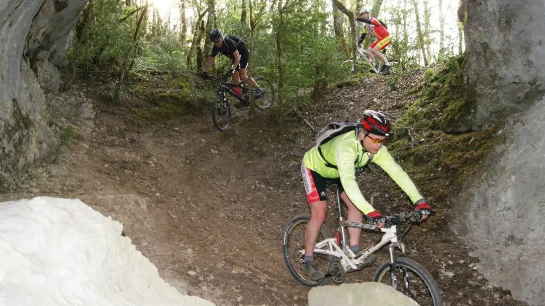
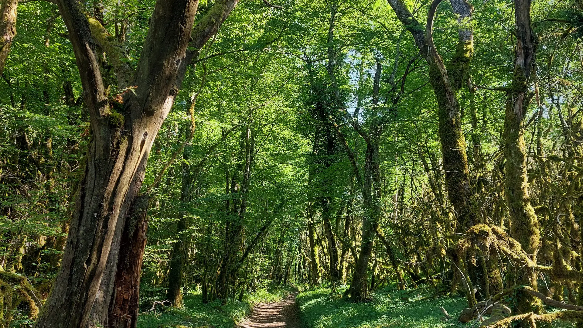
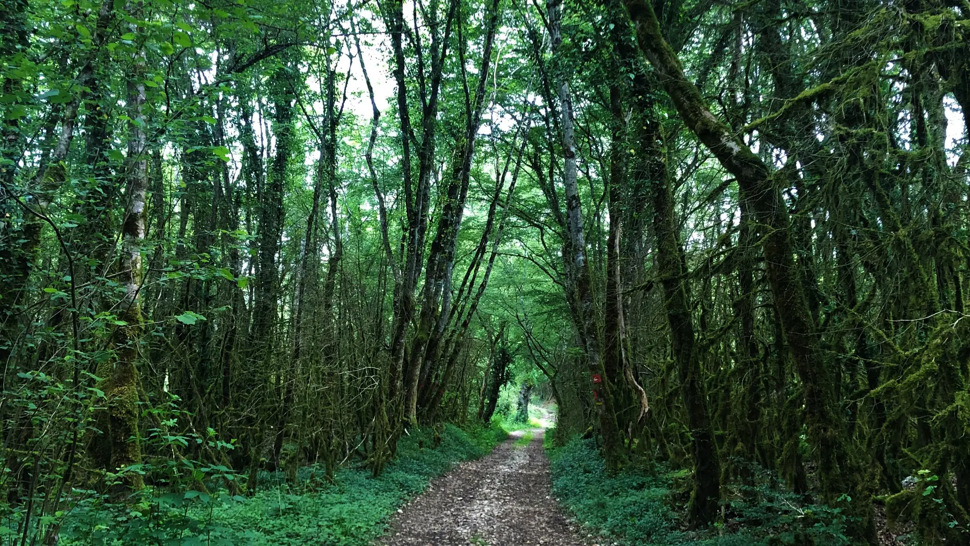
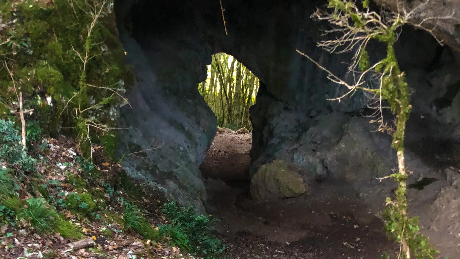
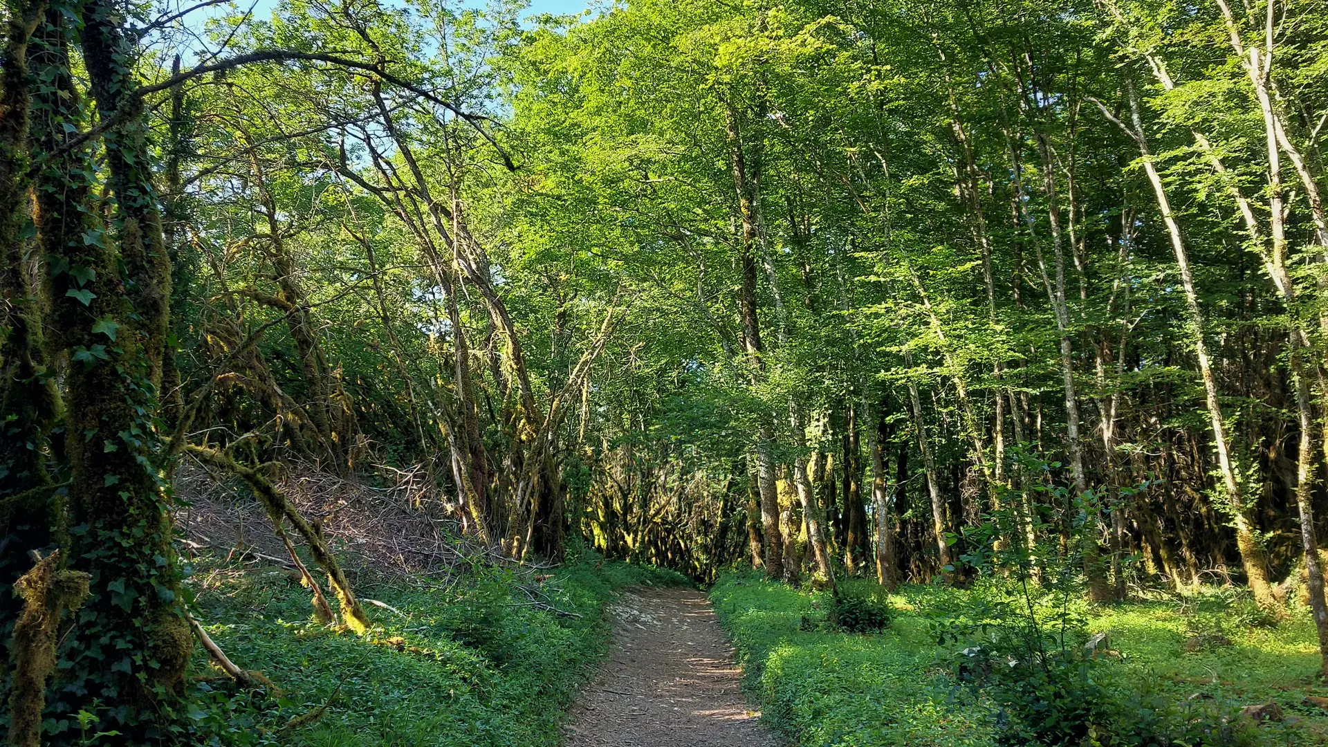
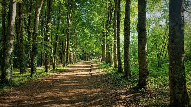
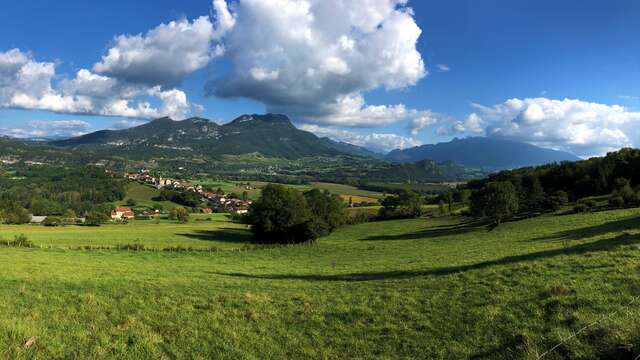
  • Circuit from Belley, crossing Furans in the hamlet of Thoys then Arbignieu, up to La Roche Percée (the Leaky Rock).
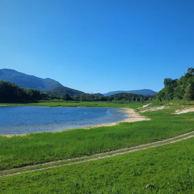
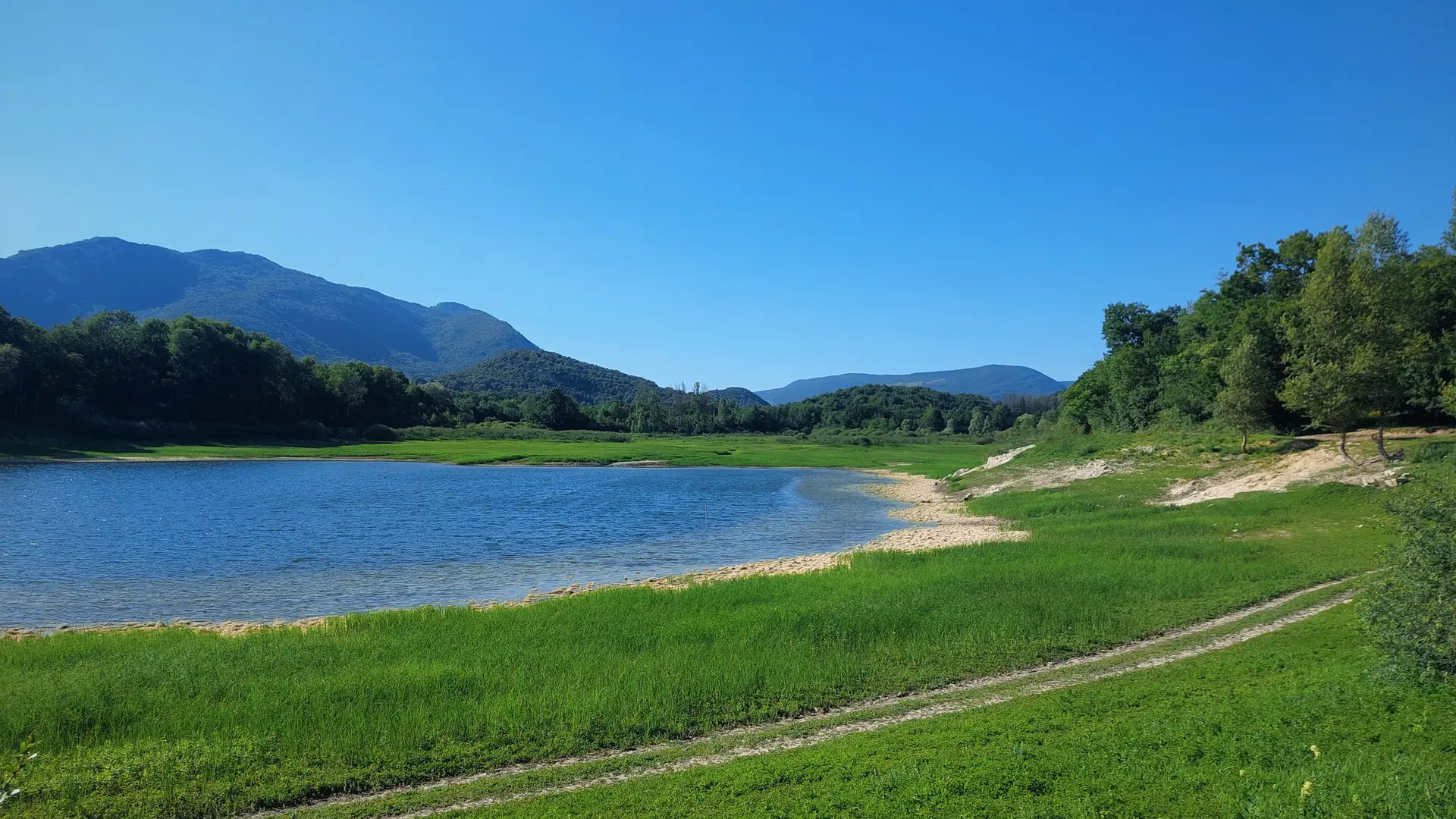
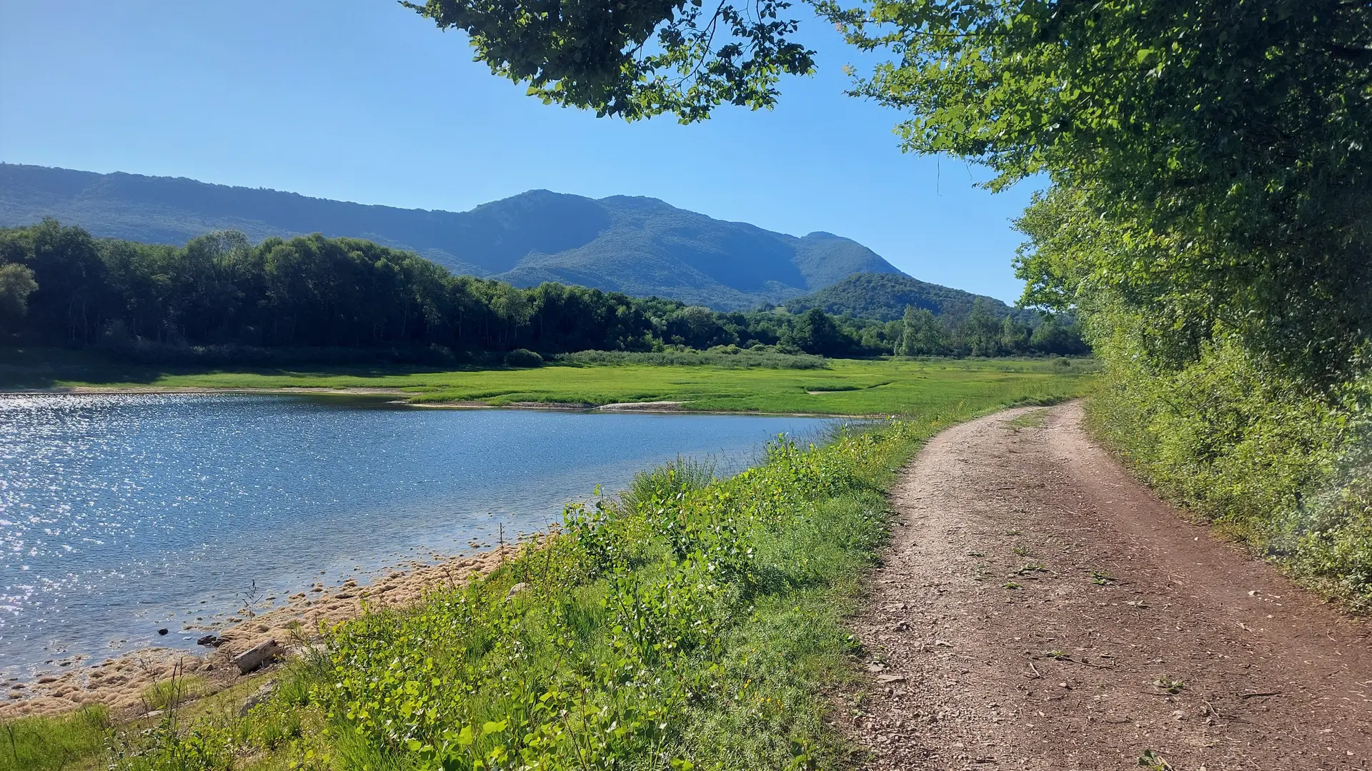
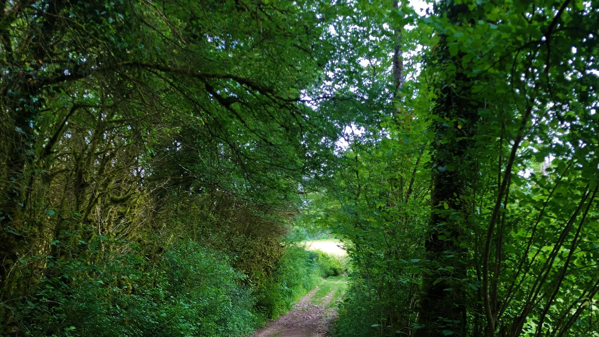
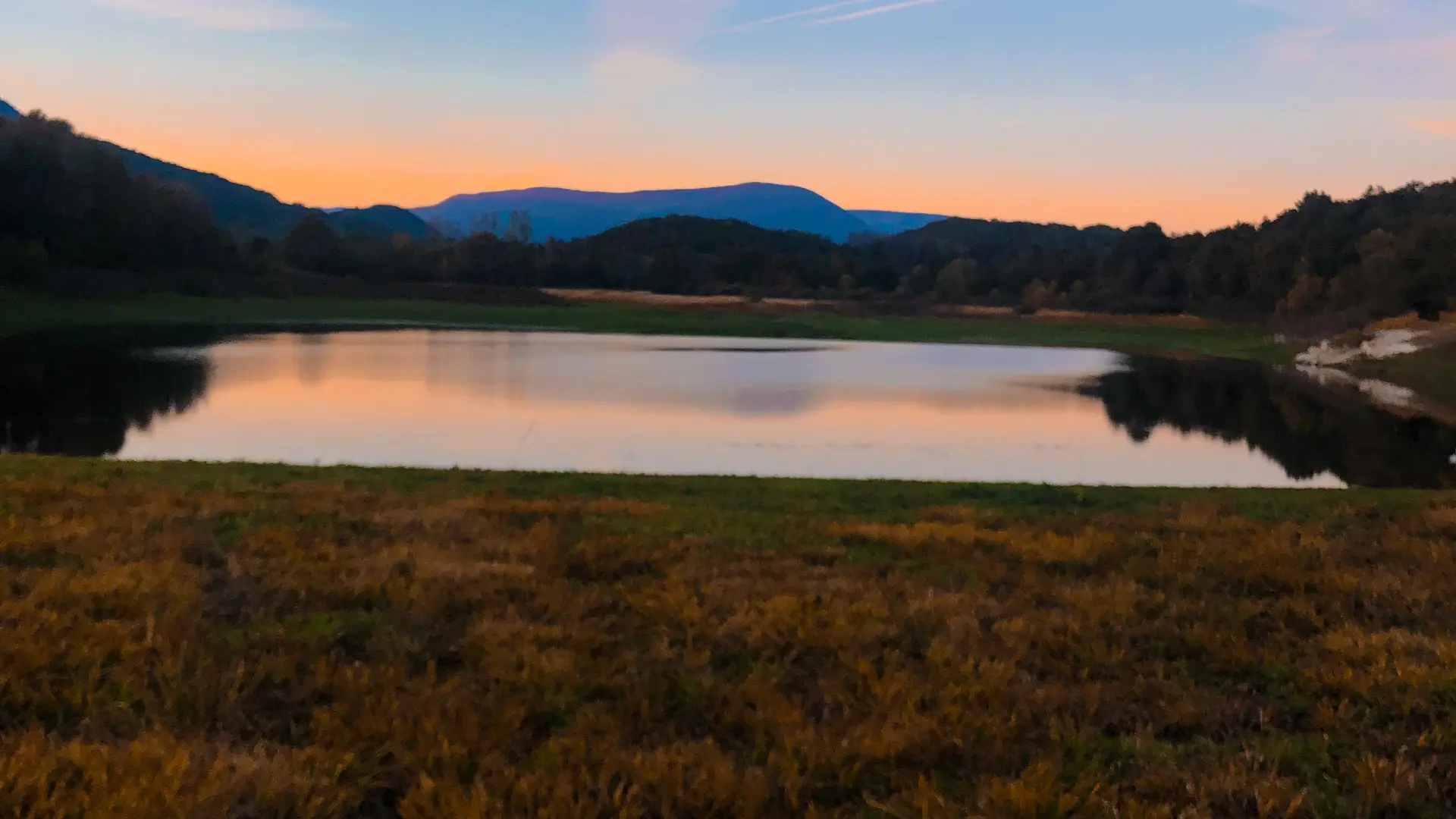
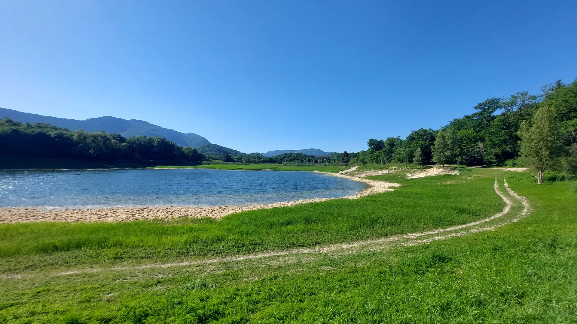
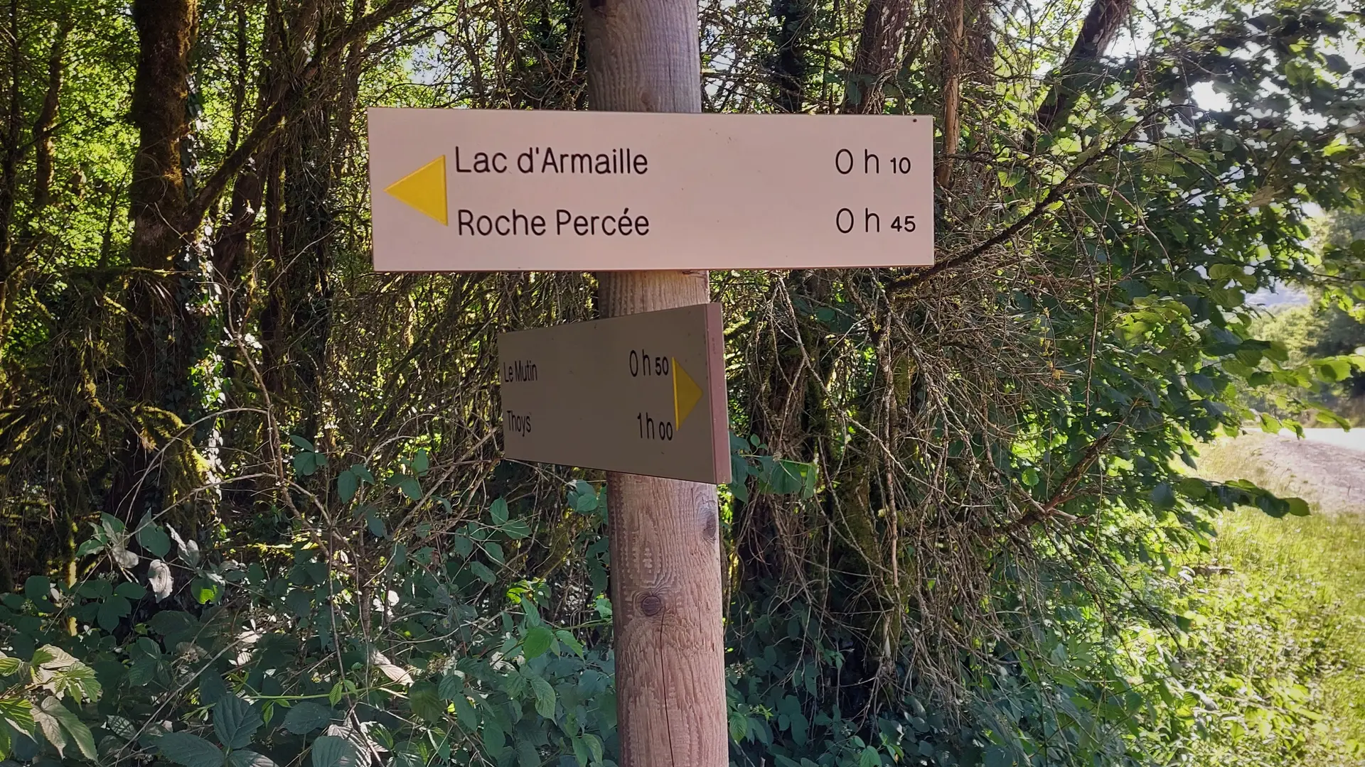
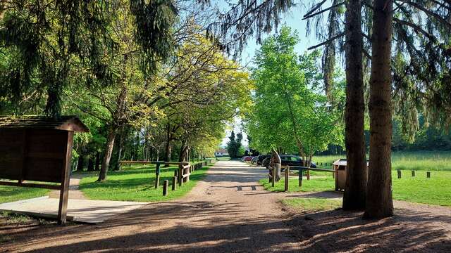
    You will follow the hamlet of Sens and be able to have a break on the lake of Armaille before coming down to Belley, by Boissieu and Les Baraques.

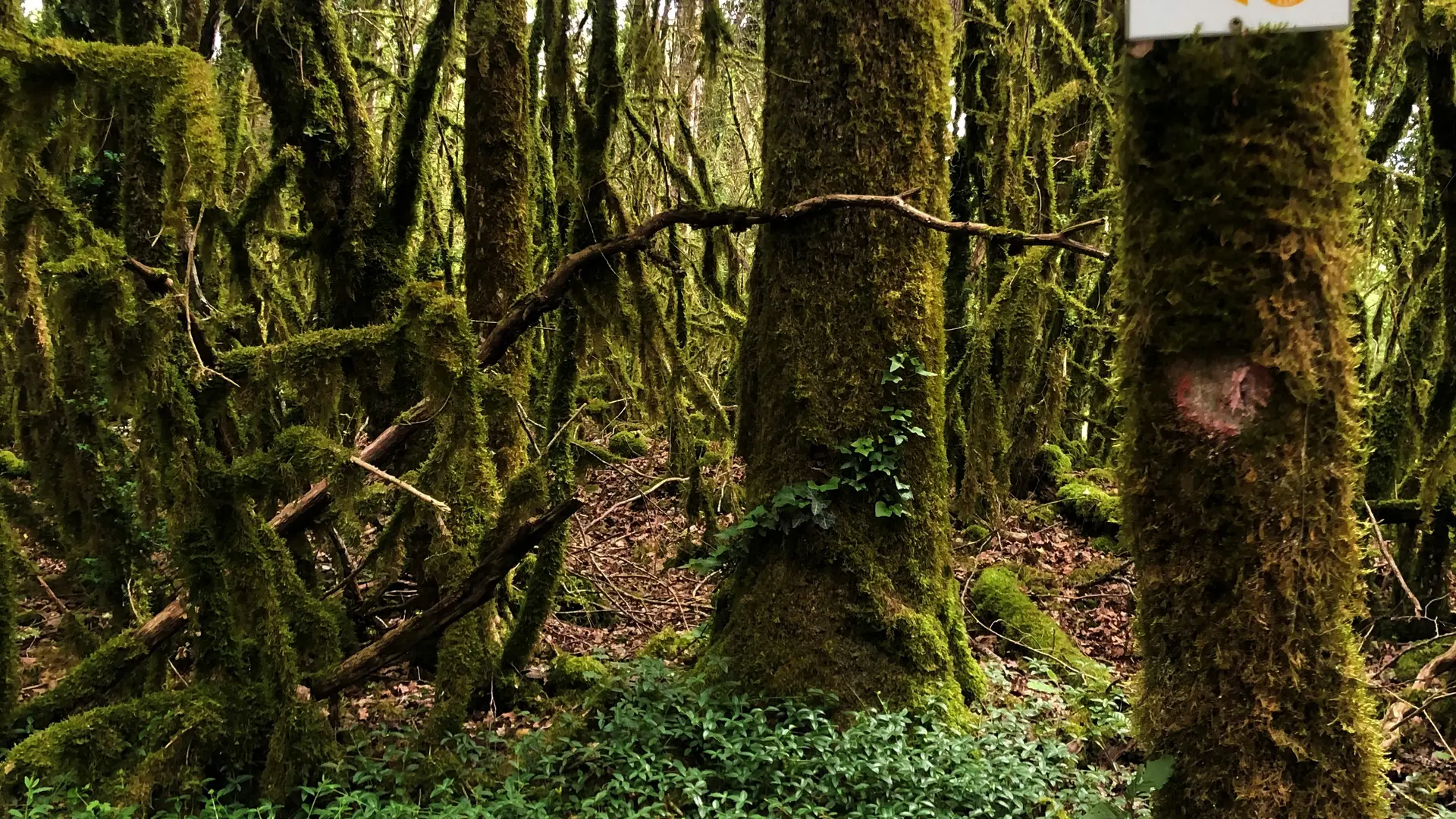
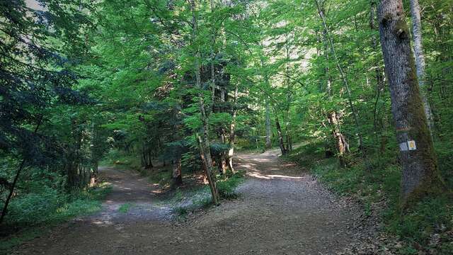
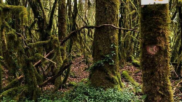
  • Follow the red signs number 5 starting from Belley.
472 meters of difference in height
  • Maximum altitude : 387 m
  • Minimum altitude : 228 m
  • Total positive elevation : 472 m
  • Total negative elevation : -474 m
  • Max positive elevation : 102 m
  • Min positive elevation : -59 m
Services
  • Equipment
    • Car park
    • Free car park
Close
Filter search
Page types
  • All
  • Articles
  • Agenda
  • Lists
Aucun résultat