
See photos (2)
3 MTB Trail - Bognens - Les Baraques - Espace FFC Ain Forestière
Sport, Cycling sports, Mountain biking itinerary
in Belley
12.9
km
1h
Medium
-
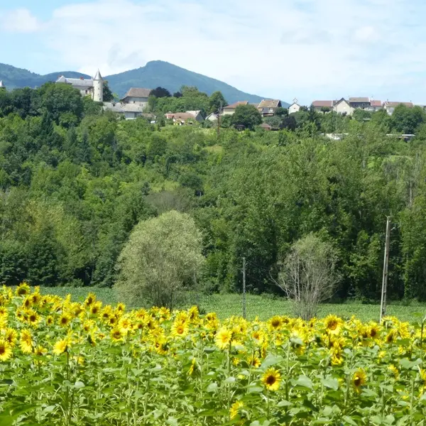
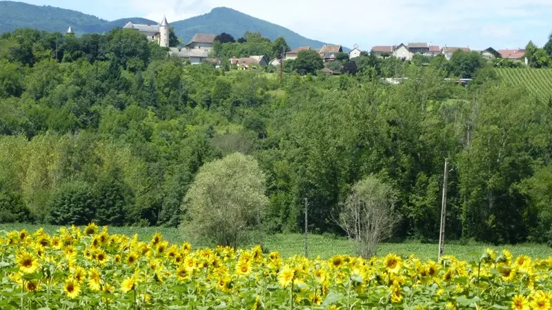
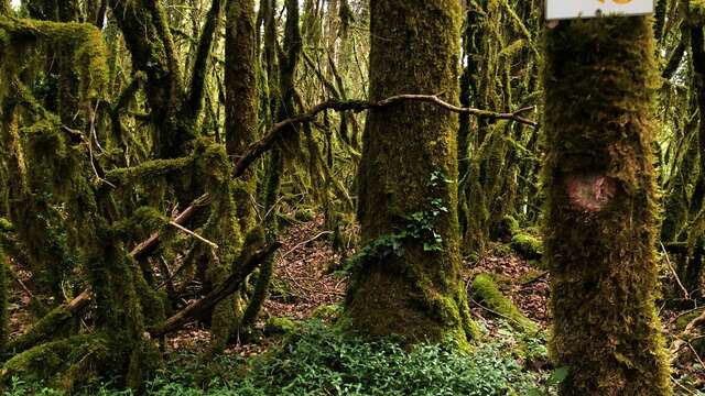
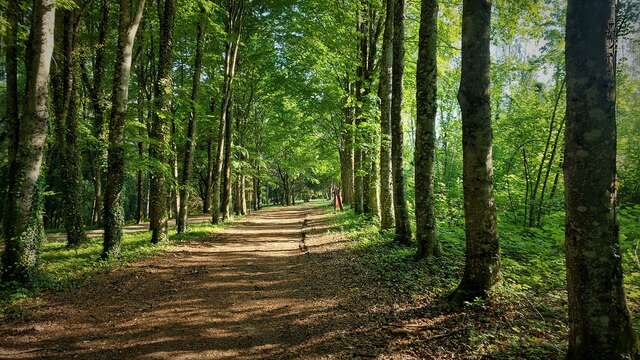
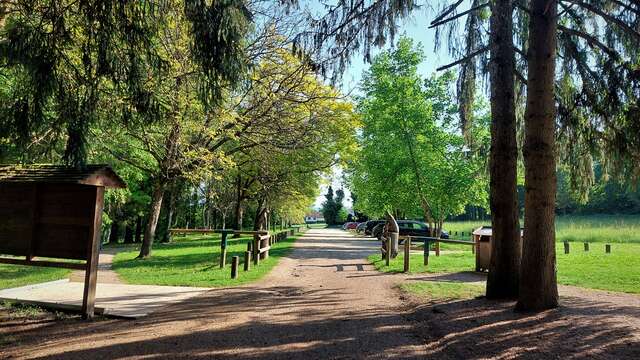
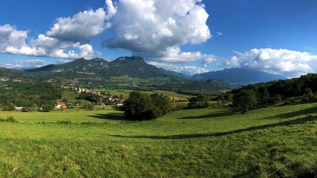
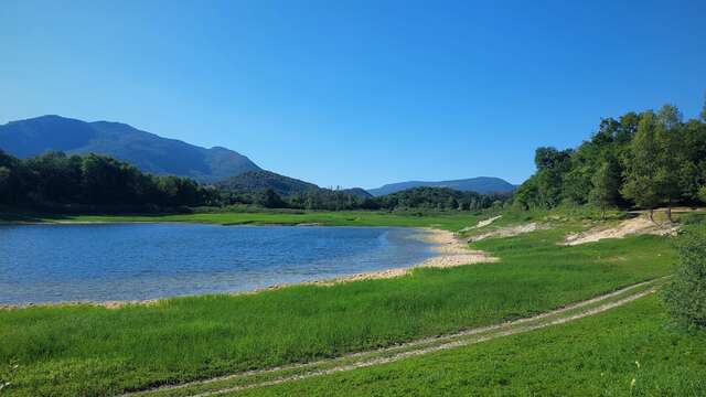
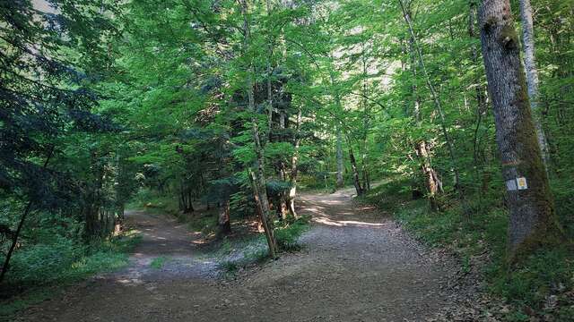
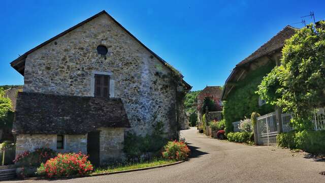
Starting from Belley and crossing the Gland valley, the route alternates from beaten path, forest pathways and roads.
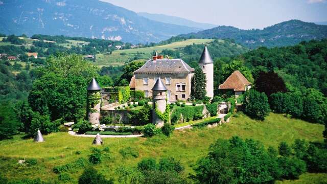
The castle of Andert can be seen from the route.
Follow the blue signs number 3. -
13 km long, with no major difficulties, the loop number 3 is ideal for families.
- Departure
- Belley
-
-
Difference in height
- 193.333 m
-
-
-
Plain text period
-
All year round.
Subject to favorable weather.
-
-
-
Environment
-
-
-
Documentation
- GPX / KML files allow you to export the trail of your hike to your GPS (or other navigation tool)
-
- 193 meters of difference in height
-
- Maximum altitude : 299 m
- Minimum altitude : 229 m
- Total positive elevation : 193 m
- Total negative elevation : -196 m
- Max positive elevation : 36 m
- Min positive elevation : -53 m
Services
-
-
Equipment
-
-
-
Services
-